
What to expect on 13 August
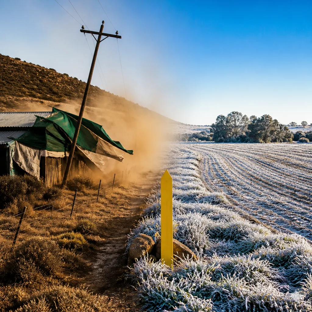
A frost is expected early on 13 August over the eastern interior while an anticlockwise circulation around a high pressure system will keep conditions cool and cloudy in the east. To the west, the same system will drive berg winds and, together with an approaching cold front, a steep pressure gradient will bring strong winds to western parts of the country.
Impact-based warnings from SAWS
The South African Weather Service (SAWS) has issued impact-based warnings for the period. The main alerts are:
- Yellow Level 2 — damaging interior winds with possible localised damage to temporary structures and reduced visibility from dust storms over parts of the West Coast District and selected municipalities in the Western and Northern Cape.
- Extreme fire danger — very high to extremely high fire danger expected across specific local municipalities in the Northern and Western Cape.
Areas named in SAWS warnings
The warnings specifically mention the following municipalities and districts.
| Warning | Areas affected |
|---|---|
| Yellow Level 2 (damaging winds, dust) | Northern parts of the West Coast District; Witzenberg Municipality (Western Cape); parts of Namakwa District (Northern Cape) except the north-eastern parts of Khai-Ma municipality |
| Extremely high fire danger | Khai-Ma, Nama-Khoi and Kamiesberg local municipalities (Northern Cape); Matzikama and Bergrivier local municipalities (Western Cape) |
What people should do
Practical steps to reduce risk and stay safe:
- Secure loose objects around properties — strong winds can turn garden furniture, shade cloth and temporary structures into hazards.
- Avoid open burning or any activities that could start fires, particularly in municipalities listed with extremely high fire danger.
- Farmers and livestock owners should take precautions against frost in the eastern interior: protect vulnerable young animals and sensitive crops, and check water supplies against freezing or contamination.
- Drivers should be cautious on exposed routes and coastal roads where crosswinds and dust may reduce visibility; reduce speed and increase following distance.
- Monitor local SAWS updates and heed any further impact-based warnings or local emergency instructions.
Context and consequences
Anticlockwise flow around a surface high will maintain cooler, cloudier conditions in the eastern interior, producing the risk of frost at first light. In contrast, the western provinces will feel the effects of a strong pressure gradient as a cold front approaches, producing berg winds and gusty conditions that can damage weak structures and stir up dust.
Extreme fire danger in parts of the Northern and Western Cape raises the risk of rapid fire spread where dry fuels and strong winds coincide. Residents, municipalities and fire services in the listed local municipalities should be prepared for a heightened number of fire starts and ensure water and firefighting resources are ready.
These combined hazards — frost, strong winds and very high fire danger — present different threats to urban and rural communities. Urban areas should secure loose items and be ready for temporary disruptions from wind-blown debris. Rural communities and farmers should protect livestock and crops from frost and be especially cautious about ignition sources where fire danger is elevated.
Stay informed
Check SAWS bulletins for updates as the situation develops and follow guidance from municipal emergency services. If you are in an affected area, consider practical preparedness now rather than later: secure property, protect vulnerable animals and avoid ignition sources. These steps reduce risk and help emergency services focus on unavoidable incidents.
Remember: weather warnings describe the likely impacts of conditions — taking simple precautions can prevent harm and reduce damage.












