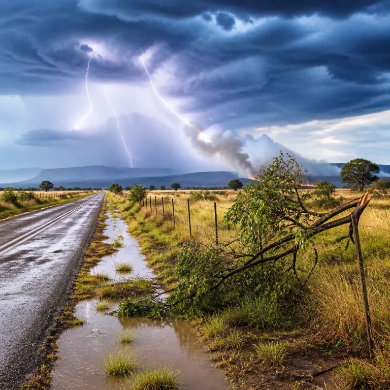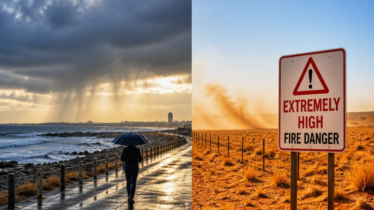
The South African Weather Service (SAWS) expects a largely cool Friday across the Cape provinces, with parts of the Western and Eastern Cape facing isolated to scattered showers and thunderstorms while the Northern Cape contends with extremely high fire-danger conditions.
Rain chances rise along parts of the coast
SAWS’ forecast indicates a roughly 30% chance of isolated rain or thunderstorms across much of the Western Cape, stretching into sections of the Northern Cape and the western half of the Eastern Cape. Rainfall probabilities climb to about 60% along stretches of the southern coastline, including the Garden Route and adjacent coastal areas west of Gqeberha, where scattered rain is expected.
Across the western half of the Eastern Cape a mix of cloudy and warm conditions will prevail, but isolated showers are likely to develop in places. The forecast chart shows rain will become scattered to the west of Gqeberha and along parts of the coast, with the greatest likelihood concentrated in south-western coastal zones.
Western Cape: cloud, fog and coastal winds
The Western Cape is expected to be cloudy, cool to warm and with morning fog patches in the south-west. Isolated showers and thunderstorms are possible in many districts, while the south-eastern sectors near the Garden Route should expect the wettest conditions.
Coastal areas will see moderate to fresh south-westerly winds. SAWS also flagged the UVB sunburn index as very high, advising sun protection even on cooler days when breaks in cloud occur.
Fire risk in Northern Cape
While parts of the Northern Cape may receive isolated showers and thunderstorms (around 30% chance in central areas), the province will otherwise be dry, windy and cool to warm. SAWS has warned of extremely high fire danger over the Ubuntu Local Municipality, where conditions can allow veld fires to spread rapidly.
Local emergency services and landowners in the affected municipality should be alert to heightened fire risk and review firefighting readiness, particularly given the combination of dry vegetation and windy conditions.
Practical advice for residents and travellers
- Expect patchy showers and possible thunderstorms if travelling along the southern coast; reduce speed on wet roads and allow extra stopping distance.
- Those in coastal towns should prepare for gusty south-westerly winds and possible fog in the mornings.
- People in and around Ubuntu Local Municipality must avoid open fires,Ensure any authorised controlled burns have explicit municipal approval and firefighting equipment on hand.
- Take sun-protection measures when outdoors — the UVB index is very high despite cool temperatures.
For operational planning — farmers, municipal teams and emergency services should monitor SAWS updates and local warnings as conditions can change quickly with convective activity.
Snapshot of forecast probabilities
| Area | Rain/thunder chance |
|---|---|
| Western Cape (general) | 30% |
| Southern coastline / Garden Route | 60% |
| Western & central Northern Cape | 30% (isolated) |
| Western half of Eastern Cape (including west of Gqeberha) | Up to 60% in some coastal areas |
SAWS has not issued any impact-based severe weather warnings for Friday, but the combination of coastal showers and the very high fire danger in parts of the Northern Cape means residents and authorities should not be complacent.
Monitor official SAWS bulletins and local municipal advisories for any changes. Maritime operators and those planning outdoor activities on the coast should check the latest wind and sea-condition updates before departure.
Weather remains a local hazard that intersects with transport, agriculture and emergency response planning. Officials and households across the Eastern Cape should plan for wet stretches along the coast while keeping an eye on dry-fire conditions further north.