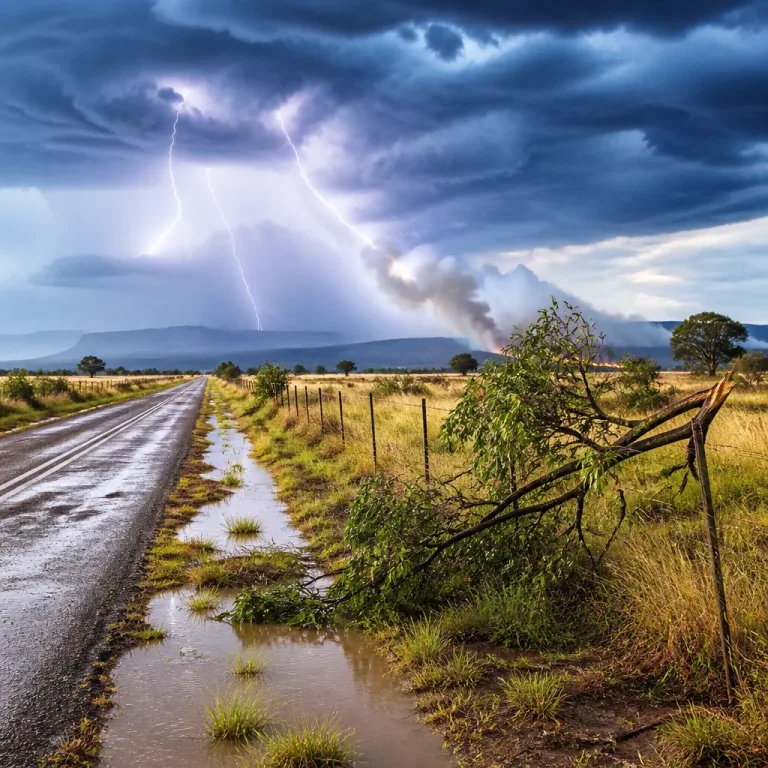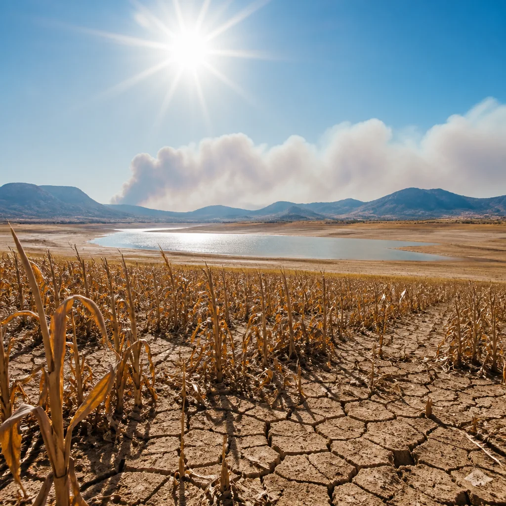
South Africa is entering a summer season under what local climate scientists describe as an exceptional El Niño, a weather pattern that forecasters say could become the strongest on record and is expected to peak between November 2026 and February 2027.
What is expected and why it matters
The Enso (El Niño–Southern Oscillation) Reference Group, made up of leading South African climate scientists, describes the current El Niño as mature and intensifying. Observations show sea-surface temperatures in the tropical Pacific are unusually warm for this stage of the annual cycle, a signature of a strong El Niño.
The South African Weather Service (SAWS) has warned of rising temperatures and greater climate variability this season. The danger is not limited to heat: El Niño typically brings hotter, drier conditions to southern Africa, increasing the likelihood of drought, reduced agricultural yields, strained water resources and elevated wildfire risk.
Economic and policy implications
The South African Reserve Bank (SARB) has already flagged El Niño as an additional inflation risk. In its May monetary policy statement the bank warned a severe event could add pressure to growth and prices at a time when the economy has limited capacity to absorb further shocks.
Economists and planners must therefore weigh climate risk alongside existing fiscal and supply constraints. The combination of higher food prices, potential losses in agricultural output and water restrictions would create knock-on effects across households and industries.
| Expected peak | Primary climate signal | Key risks |
|---|---|---|
| Nov 2026 – Feb 2027 | Unusually warm tropical Pacific sea-surface temperatures | Drought, heatwaves, wildfires, agricultural losses, water stress |
Context: buffers and remaining uncertainty
There are some mitigating factors. Two consecutive good rainy seasons before this cycle and record maize yields in 2025/26 mean dam levels and grain stocks are in a stronger position than they might otherwise have been, providing a partial buffer.
However, scientists caution that these buffers do not guarantee immunity from losses this season. A strong El Niño does not always produce a uniformly dry season across the region; isolated wetter spells can still occur, and local variability will shape exact outcomes.
- For households: conserve water now, prepare for hotter conditions and follow municipal notices on water restrictions.
- For farmers: review risk-management plans, consider short-term measures to protect livestock and crops, and stay updated with SAWS seasonal outlooks.
- For businesses and government: expect greater volatility in food prices and supply chains; prioritise contingency planning and cross-sector cooperation.
Public agencies, farmers’ associations and private-sector actors are being urged to coordinate responses that reduce immediate harm and shore up resilience. Early action can limit damage to harvests, reduce fire ignitions and ease pressure on already stretched water systems.
While seasonal forecasts cannot specify every local outcome, the overall message from the Enso Reference Group and national forecasters is clear: the coming months warrant heightened vigilance.
Monitor official updates from the South African Weather Service, the Department of Water and Sanitation, and municipal emergency services. If you live or work in fire-prone or water-stressed areas, now is the time to implement preparedness measures and follow local advisories.
Practical reminders: limit non-essential outdoor burning, keep firebreaks clear where relevant, check water-storage options, and ensure vulnerable people have access to cool, shaded spaces during heat spells.
As the season unfolds, forecasts and impacts will be updated. Authorities and communities should plan on the basis that El Niño could amplify existing climate and economic strains, and that co-ordinated preparation will reduce risks to lives, livelihoods and the wider economy.