
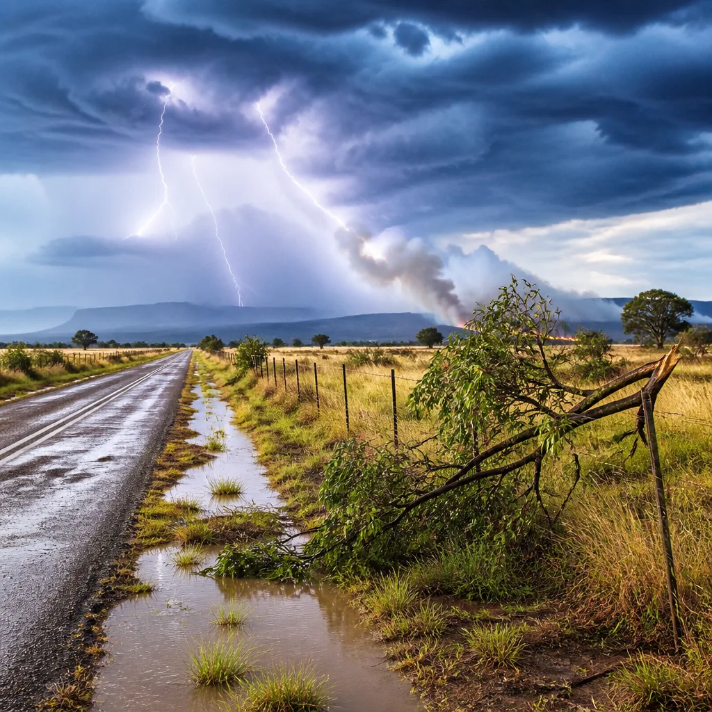
South Africans in central and western regions must prepare for severe thunderstorms, heavy downpours and localised flooding, the South African Weather Service (SAWS) said on 25 September 2026. The alert covers late Friday into Saturday and may persist into Sunday morning in some areas.
Immediate risk and safety advice
SAWS has issued a yellow Level 2 warning for severe thunderstorms bringing heavy rainfall, strong damaging winds, hail and excessive lightning. These conditions can lead to:
- localised flooding of roads, low‑lying areas and bridges;
- temporary disruption to travel and public transport;
- damage to infrastructure and settlements in vulnerable locations;
- increased risk to people outdoors from lightning strikes.
Practical precautions to reduce risk include avoiding travel where possible during heavy storms, not parking under trees or near powerlines, staying indoors during frequent lightning and keeping clear of flooded roads. Motorists should turn around and not attempt to cross standing water on roads.
"Cloudy in the southwest of the country. Otherwise, it will be partly cloudy & warm to cool, with isolated to scattered showers & thunderstorms over the central & western parts of the RSA, but widespread at times over the western interior."
Where the warnings apply
SAWS named specific provinces and parts of provinces where impacts are expected. The yellow warning covers:
- the Northern Cape;
- northern parts of the Western Cape;
- western parts of the Free State;
- extreme western parts of North West;
- and in the evening, extreme southern parts of KwaZulu‑Natal.
In addition to thunderstorms and flooding, the weather service highlighted extremely high fire danger over the western parts of North West and the extreme north‑eastern parts of the Northern Cape. Residents and landowners in those areas should be cautious with open flames, avoid unnecessary burning of veld and report fires quickly to emergency services.
Provincial outlook at a glance
| Province/Area | Expected conditions |
|---|---|
| Western Cape (northern, western interior) | Scattered to widespread thunderstorms; heavy rain and possible hail |
| Northern Cape | Severe thunderstorms with localised flooding; extremely high fire danger in north‑east |
| Free State (western parts) | Isolated to scattered thunderstorms; heavy downpours possible |
| North West (extreme west) | Storms possible; western areas with extremely high fire danger |
| KwaZulu‑Natal (extreme south, evening) | Evening storms possible in extreme southern areas |
The national forecast for Saturday, 26 September 2026, said the country will be cloudy in the southwest, and elsewhere generally partly cloudy, warm to cool, with isolated to scattered showers and thunderstorms over central and western parts.
What residents should do now
- Secure loose outdoor items that could be blown about by strong winds.
- Keep a torch, charged phone and emergency kit handy in case of power interruption.
- Avoid walking or driving through floodwater; even shallow flowing water can sweep vehicles away.
- Stay indoors during heavy lightning; if outside, avoid open fields, tall isolated trees and metal structures.
- Those in areas of extremely high fire danger should remove flammable material from around homes and refrain from burning or using open flames.
SAWS updates its warnings regularly. People in affected areas should follow the weather service’s bulletins and heed instructions from local emergency and municipal services. Keep tuned to local radio and official SAWS channels for live updates.
While the immediate threat is from storms and heavy rain, the combination of heavy lightning and strong winds during the next 24–48 hours can increase the risk of power interruptions and localised damage. Residents should prepare accordingly and prioritise safety.
Key safety reminder: do not attempt to cross flooded roads or bridges. If your property is prone to flooding, move valuables and important documents to higher ground and, where possible, switch off electrical supplies before water reaches electrical installations.












