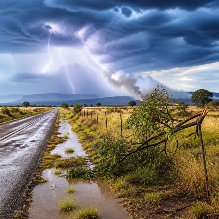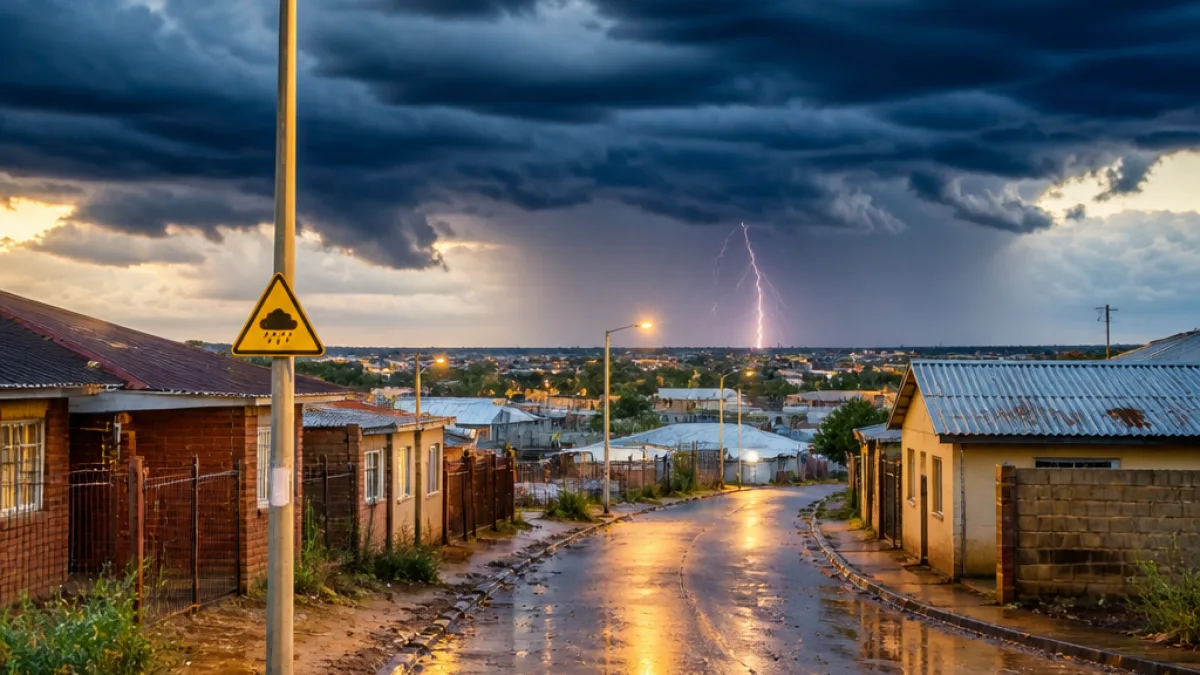
The South African Weather Service (SAWS) has warned of widespread showers and thundershowers across several provinces this morning, with parts of the Northern Cape included in an impact-based warning for severe thunderstorms.
Where the storms are expected
SAWS forecasts that showers and thundershowers will spread across Gauteng, the Free State, Limpopo, North West and the Northern Cape. The agency specifically lists the extreme north-eastern parts of the Northern Cape among areas where heavy downpours, strong damaging winds, hail and excessive lightning could occur, creating conditions for localised flooding and possible damage to infrastructure.
Residents in and around those areas are advised to take precautions and monitor official updates as conditions develop.
Local conditions and temperatures
In the provincial centre, Kimberley will be cool overnight, with a low of 8°C before temperatures climb to a daytime high of about 23°C. Elsewhere in the country Cape Town will be the warmest centre at 33°C, while several inland and storm-prone areas will see cooler, wetter conditions.
| Location | Low (°C) | High (°C) |
|---|---|---|
| Kimberley | 8 | 23 |
| Cape Town | 15 | 33 |
Official warning details
SAWS' impact-based advisory describes a Yellow Level 2 warning for severe thunderstorms in parts of the Highveld, North West, Gauteng, Mpumalanga, Limpopo, northern Free State and the extreme north-eastern Northern Cape. The expected hazards listed are:
- Heavy downpours that could cause localised flooding of roads and low-lying areas;
- Strong, potentially damaging wind gusts;
- Hail and frequent lightning strikes;
- Possible damage to settlements and infrastructure where storms are intense.
"Stay safe out there."
That succinct advisory from the national briefing underlines the need for caution during storm periods.
Practical advice for Northern Cape residents
People living in affected districts should consider the following precautions until the warning is lifted:
- Secure loose outdoor items and avoid parking under trees or near advertising hoardings;
- Avoid driving through flooded roads or bridges; water depth can be deceptive;
- Stay indoors during periods of lightning and avoid using electrical appliances connected to the mains;
- Keep an emergency kit and charge essential devices in case of power interruptions;
- Monitor SAWS updates, local municipal alerts and emergency services for changes.
Other weather notices affecting the province
SAWS also lists a veld-fire warning for Vredendal, reflecting the variable nature of conditions in the Cape provinces as spring progresses. While some coastal areas enjoy clear skies and higher temperatures, inland and north-eastern zones are more likely to face convective storms that produce rapidly changing conditions.
Municipalities and emergency services in the Northern Cape are usually the first point of contact for localised flood or storm damage. Citizens should log incidents with their local emergency numbers and follow instructions from municipal officials and SAWS advisories.
Outlook for the coming days
SAWS' seven-day outlook indicates that stormy conditions will continue to influence parts of the interior, with alternating days of showers, thundershowers and localized rain expected in the Highveld and adjacent regions. Coastal Western Cape locations are forecast to remain relatively settled in the short term.
For now, the immediate risk to the Northern Cape is concentrated in its north-eastern extremities where convective activity may be most intense. Residents are advised to keep weather apps and local media close at hand for any rapid changes.
Further updates will be available as SAWS issues bulletins and as local authorities respond to any impacts on roads, power or settlements.