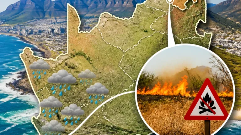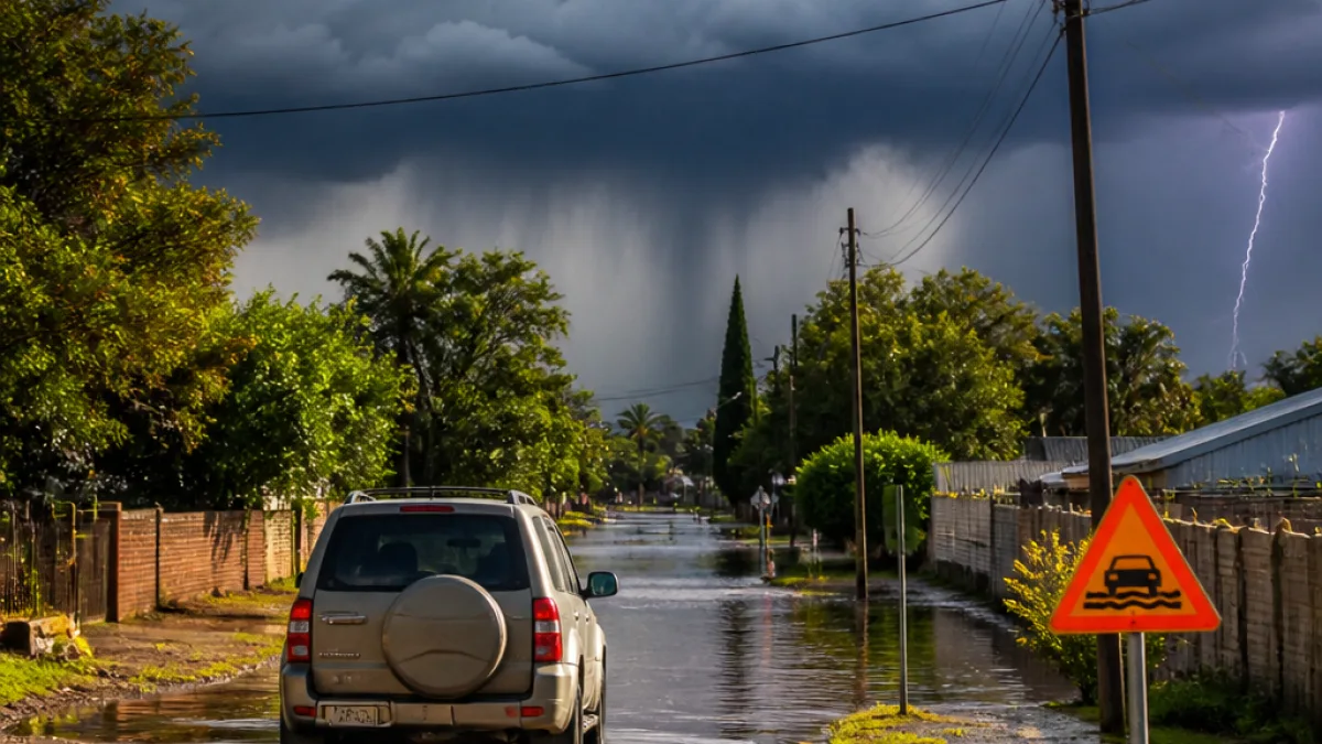
Severe thunderstorms and heavy rain are forecast to affect broad areas of the Northern Cape this weekend, the South African Weather Service (SAWS) says, with an Orange warning in place for the north-eastern parts of the province.
What SAWS is warning
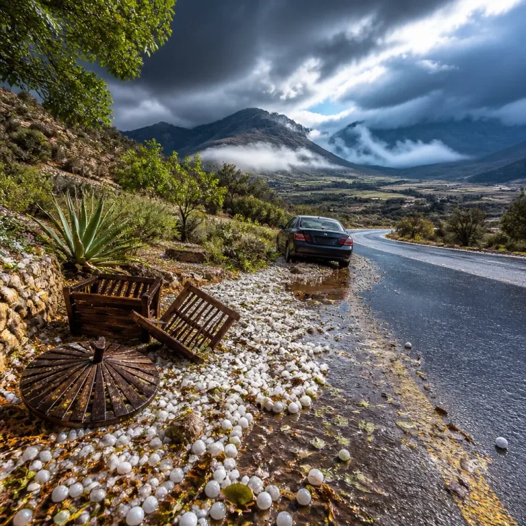
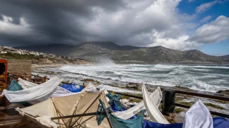
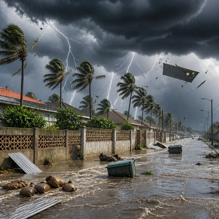
SAWS cautioned that storms could bring heavy downpours, damaging winds, excessive lightning and hail, conditions that can cause localised flooding, damage to infrastructure and interruptions to essential services such as power and telecommunications.
“Rainfall is expected across a broad stretch of the country on Saturday, with the highest chances concentrated over the Northern Cape and neighbouring areas,”
The agency’s latest forecast for Saturday, 19 September, indicated cloudy, windy and cool conditions across central and western areas of the Free State and a heightened risk of isolated to scattered showers and thundershowers. For the Northern Cape the risk is concentrated in the north-eastern sectors, where SAWS put an Orange level 5 warning in place for severe thunderstorm activity.
Local impact and safety advice
Although the bulletin specifically mentions localised flooding already reported in low-lying areas of Bloemfontein, the same hazards apply across vulnerable locations in the Northern Cape: poorly drained streets, low-water bridges and informal settlements near rivers or pans are at risk. Strong winds may also damage roofs, street infrastructure and disrupt power.
The Free State department of community safety, roads and transport has advised people to exercise caution and follow basic flood-safety measures. The department’s practical guidance, relevant to residents and travellers in the Northern Cape, includes:
- Avoid crossing flooded areas, especially rivers and low-water bridges.
- Never attempt to walk or drive through fast-moving water.
- Find alternative routes and wait for water levels to drop before proceeding.
Motorists should expect reduced visibility, slippery roads and the potential for fallen trees or debris. Commuters and emergency services are likely to face delays if conditions deteriorate.
Warnings at a glance
| Warning level | Area covered | Primary hazards |
|---|---|---|
| Orange (Level 5) | North-eastern Northern Cape, western Free State | Heavy rain, damaging winds, hail, excessive lightning, flooding |
| Yellow (Level 2) | Much of the Northern Cape, western and northern Western Cape, western North West | Strong winds; risk to settlements, power and communications, difficult driving |
Outlook and preparations
SAWS’s outlook shows the unsettled weather continuing into Sunday as a large area of cooler air spreads across central and southern regions. Residents should prepare for several hours of heavy rain in affected areas and episodic gusty winds.
Local municipalities and emergency services should ensure drainage channels and stormwater systems are clear where possible, and people living near rivers and low-lying areas should make contingency plans in case rapid water-level rises occur. Secure loose objects around properties and be prepared for possible short-term power interruptions.
Where possible, avoid unnecessary travel while warnings are active. If you must travel, keep an emergency kit in your vehicle (torch, warm clothing, charged cellphone, bottled water), and inform someone of your route and expected arrival time.
How to stay informed
SAWS updates its warnings on its website and social-media channels. Local radio and municipal emergency units will also broadcast urgent notices. If flooding or storm damage occurs, affected residents should contact their municipal emergency centre and SAPS if there is threat to life or incidents requiring police intervention.
With the Northern Cape’s sparse population and long distances between towns, anticipating weather-related disruptions and taking early precautions can reduce risk to life and property. Communities are urged to heed the warnings and prioritise safety.
For immediate concerns: follow SAWS bulletins, keep an eye on local municipal alerts and avoid crossing flooded roads.