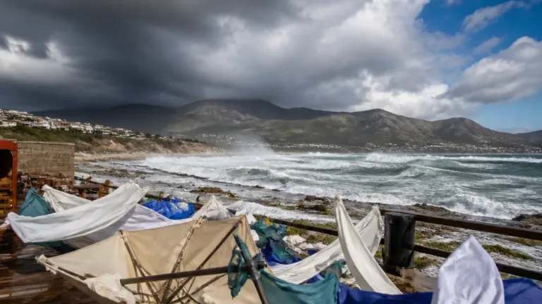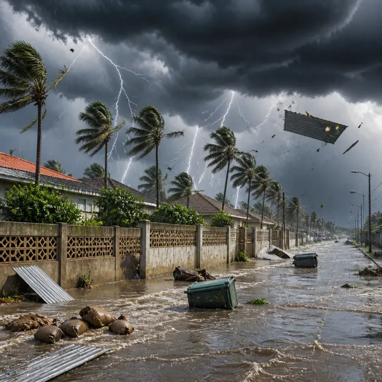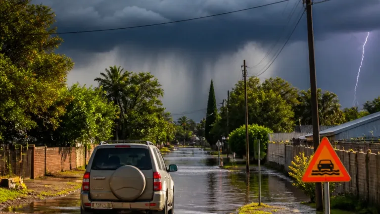
What to do now: secure loose outdoor items, avoid open areas during storms, keep away from tall isolated trees and metal structures, and check that radios and phones are charged in case of power interruptions. Drivers should reduce speed in heavy rain and watch for hail and pooled water.
Yellow Level 2 warning for parts of Northern and Western Cape
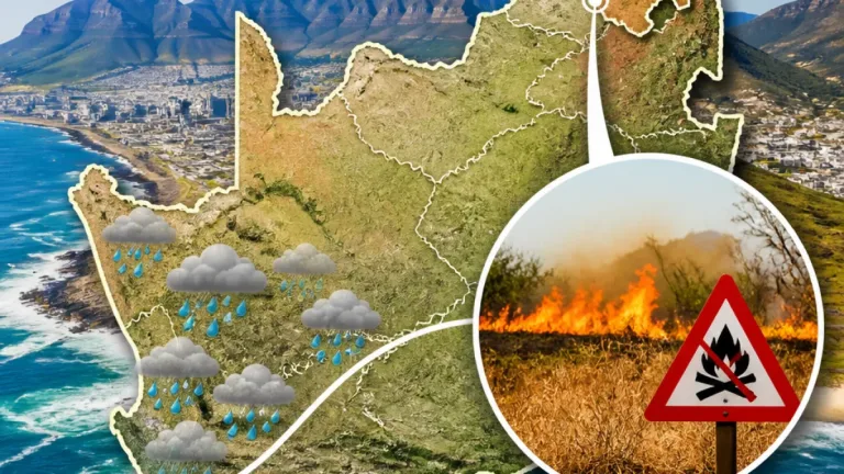
The South African Weather Service (SAWS) has issued a yellow Level 2 impact-based warning for severe thunderstorms on 25 September 2026 for the western and southern parts of the Namakwa district in the Northern Cape, and for the Central Karoo and West Coast districts of the Western Cape. The advisory warns of excessive lightning, hail and gusty winds associated with the storms.
“Partly cloudy & warm to cool conditions are expected, with isolated to scattered showers & thunderstorms possible over the western & eastern parts of the RSA, but widespread over the western interior tomorrow.” — SA Weather Service
SAWS uses a colour and numerical system to indicate risk and likely impacts. In this system, yellow signals a moderate risk that requires caution and public awareness; higher risks are shown in orange or red. The numerical component in SAWS bulletins denotes the likelihood of impacts occurring.
Where and what to expect
The warning covers higher-lying areas where convective storms can produce sudden, localised damage. Anticipated hazards include:
- Hail capable of damaging vehicles, roofs and crops;
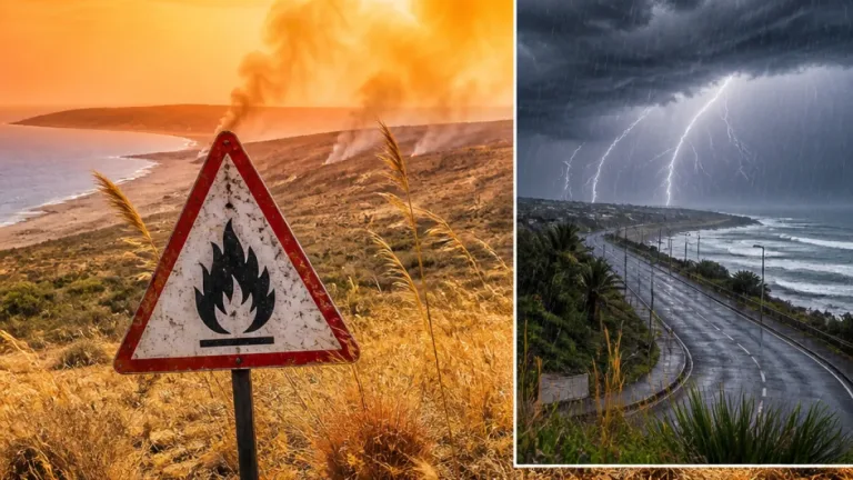
- Frequent and excessive lightning, which raises the risk of fires and personal injury;
- Gusty, damaging winds that can bring down branches, signage and insecure structures.
Morning fog patches are expected in some areas and coastal winds will vary. Elsewhere in the country, the forecast for 25 September is generally partly cloudy and warm, with isolated to scattered afternoon showers and thundershowers in several provinces.
Provincial snapshot
Key points from SAWS provincial guidance for 25 September 2026:
| Province | Short forecast |
|---|---|
| Gauteng | Partly cloudy, warm. Pretoria 14°C–28°C; Johannesburg 13°C–27°C. |
| Mpumalanga | Morning fog patches on the escarpment; isolated afternoon showers and thundershowers. |
| Limpopo | Cloudy in the east early, then partly cloudy with isolated afternoon showers and thundershowers. |
| Northern Cape | Partly cloudy and warm to hot; isolated to scattered showers and thundershowers — widespread over western parts. |
| Western Cape | Cloudy and warm with scattered showers and thundershowers; widespread afternoon activity in Central Karoo. |
Practical safety advice
For residents in or travelling to affected districts, follow these practical steps:
- Bring pets and livestock into sheltered areas where possible and secure loose items such as garden furniture, buckets and signage.
- If you are outdoors when a storm approaches, seek substantial shelter — avoid trees, high ground and metal objects. Do not shelter under an isolated tree.
- At home, unplug non-essential electrical appliances to reduce the risk of damage from lightning surges and keep torches and battery radios handy.
- When driving, reduce speed, keep headlights on, allow extra braking distance and pull over in safe places if visibility is poor due to heavy rain or hail.
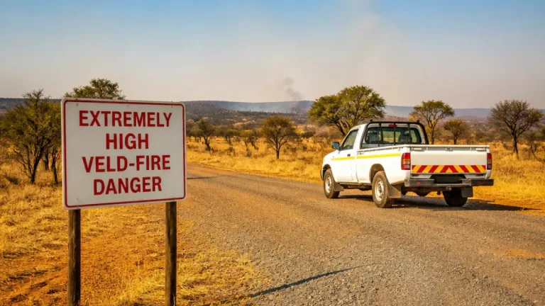
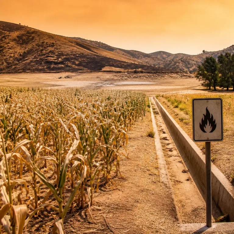
People in fire-prone areas of the north-eastern Northern Cape should remain alert to changing conditions, as dry lightning and strong winds can raise the risk of wildfires.
SAWS will continue to monitor the system and issue updates if conditions change. Residents and authorities in the affected districts should keep tuned to official SAWS bulletins and local emergency services for further instructions.
Stay informed: check the SAWS website or follow official social channels for the latest warnings, and plan travel and outdoor activities with the weather in mind.