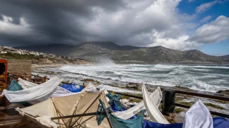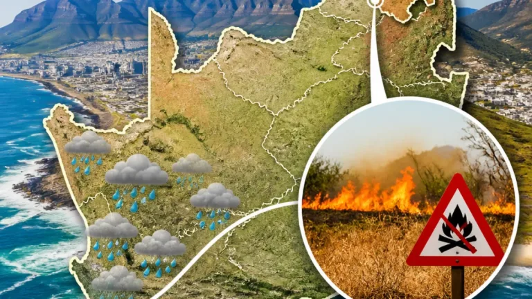
What you need to know now: Parts of KwaZulu‑Natal face a Level 2 severe thunderstorm warning from the SA Weather Service today, with heavy downpours, damaging winds, hail and excessive lightning possible. Elsewhere the country will see a mix of sunshine and scattered showers as spring weather turns unsettled in the east and inland.
Where conditions are most dangerous
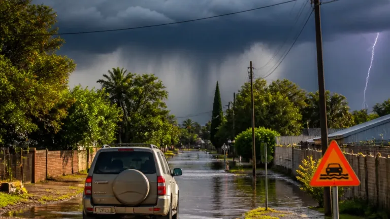
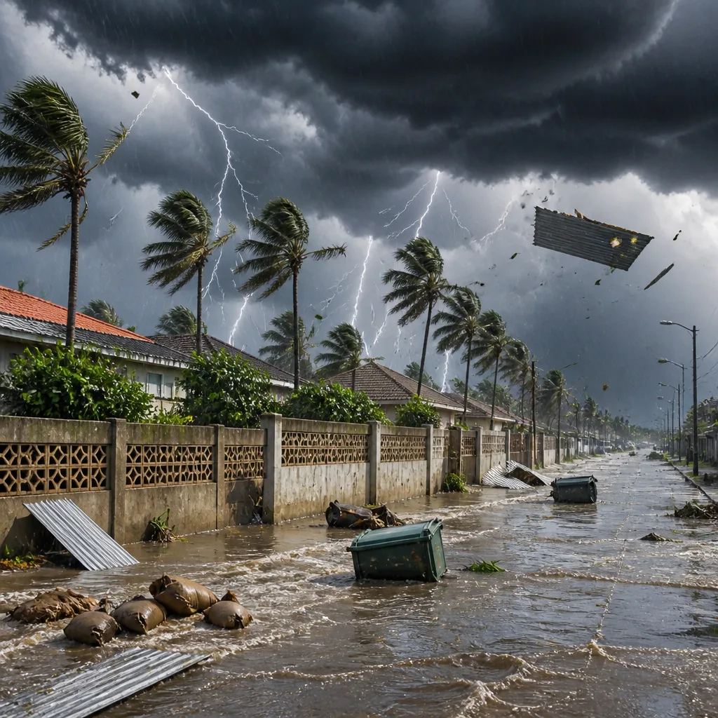
The SA Weather Service issued an impact‑based warning covering most of KwaZulu‑Natal (excluding extreme northern parts and the north‑eastern coastline and adjacent interior). The warning highlights risks of localised flooding, damage to infrastructure and settlements from severe thunderstorms producing heavy rain, hail, strong winds and frequent lightning.
"Severe thunderstorms with heavy downpours, damaging winds, hail, and excessive lightning resulting in localised flooding, damage to infrastructure and settlements are expected over most parts of KwaZulu Natal, except over the extreme northern parts as well as the north‑eastern coastline and adjacent interior."
General forecast and areas to watch
Spring shows contrasting conditions across provinces today. The Western and Eastern Cape are largely enjoying fine weather, with Cape Town clear and warm. By contrast, parts of KwaZulu‑Natal, the Free State and areas further inland will see showers and thundershowers. Specific highlights from the provincial summary provided:
- Western Cape: Cape Town is warm at 30°C with clear skies today; George is cooler at 19°C.
- Gauteng: Johannesburg, Kimberley and Mahikeng experience plenty of sunshine between cloud; Johannesburg around 23°C / 11°C.
- Free State and KwaZulu‑Natal: Bloemfontein and Durban are forecast to have showers and thundershowers; Bloemfontein begins the day cooler at 10°C.
- Limpopo / Mpumalanga: Slight rain is possible around Polokwane and Mbombela as the system moves inland.
Temperatures at a glance
| Location | High | Low |
|---|---|---|
| Cape Town | 30°C | 15°C |
| Johannesburg | 23°C | 11°C |
| Bloemfontein | — | 10°C |
| Durban | 24°C | — |
Safety advice — practical steps to take
Be prepared and stay informed. Follow these practical steps to reduce risk during severe thunderstorms and heavy rain:
- Check the latest SA Weather Service updates for changes to warnings and forecast timing in your area.
- Avoid unnecessary travel while heavy rain or lightning is occurring; allow extra travel time if driving.
- During lightning, stay indoors and away from tall isolated trees, metal structures and bodies of water.
- Secure loose outdoor items that can be blown around in strong winds to prevent damage or injury.
- If you live in low‑lying or flood‑prone areas, have an evacuation plan and move to higher ground if flooding begins.
Where hail is possible, park vehicles under cover if available and protect windows where you can. Infrastructure damage and localised flooding are listed risks in the SAWS warning; report serious incidents to local emergency services and the SAPS if immediate help is needed.
Seven‑day note
The provincial outlook included several short‑term shifts: parts of the country should expect showers and thundershowers over the next few days, with some provinces seeing a return to clearer conditions midweek. Cape Town’s forecast shows warm, clear conditions today with showers possible later in the week, while Gauteng can expect a mix of partly cloudy conditions with isolated thundershowers on some days.
Bottom line: Enjoy the sunshine where it occurs, but if you are in or travelling to KwaZulu‑Natal and eastern inland areas, make plans for severe weather. Keep tuned to SA Weather Service alerts and heed local warnings about flooding and storm impacts.