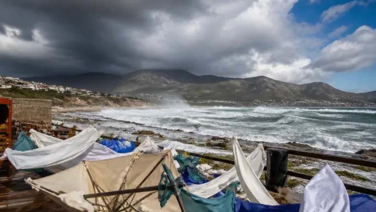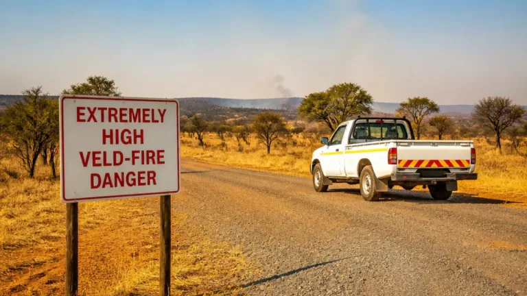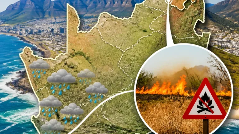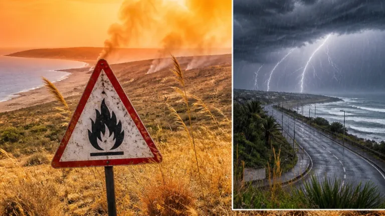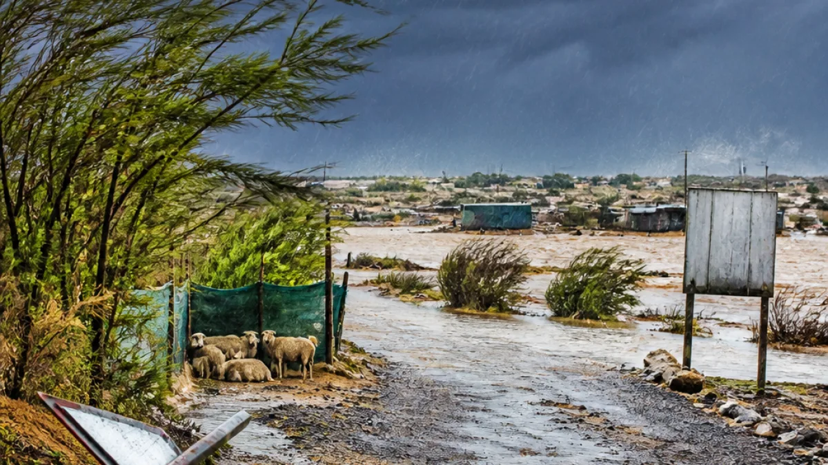
Wet and unsettled weather is expected to sweep across large parts of the Northern Cape at the start of the week as a cut-off low develops to the west of the country, the national weather service reported. Showers and thundershowers will be interspersed with periods of heavier rain, and conditions will be notably cooler in higher-lying areas.
Where the risk is highest
SAWS has highlighted the eastern Namakwa region with an impact-based Yellow Level 4 warning for disruptive rain that could lead to flooding of roads and settlements and cause major traffic disruption. The advisory also names parts of the Central Karoo in the Western Cape as likely to be affected.
- Expected hazards: intermittent heavy downpours, possible small hail and lightning;
- Coastal and interior winds: brisk northeasterly winds, up to 30 km/h in places along the KwaZulu-Natal coast were noted nationally, with strong gusts expected across exposed parts of the Northern Cape;
- Sea conditions: very rough seas south of Table Bay with swells of 4.0 to 4.5 m;
- Temperature contrasts: daytime highs will be mild to warm along the coast and lowveld, while inland high-lying areas will experience a marked drop in temperature.
Local impact and practical advice
The combination of heavy falls and gusty winds creates several practical concerns for residents and visitors in the Northern Cape. Drivers should expect sudden surface water on rural roads and possible washouts on gravel routes. Small-stock farmers are urged to secure animals and shelter vulnerable stock, and to move livestock from known low-lying flood-prone areas where feasible.
Motorists and commuters are advised to reduce speed on wet roads, keep headlights on, and avoid driving through flooded sections. If water is flowing over a road, turn around and find an alternative route. People should also remain indoors during severe lightning and avoid exposed hilltops.
Selected temperature outlook
| Location | Today (High / Low) |
|---|---|
| Durban | 27°C / — |
| Bloemfontein | 8°C (coldest start) |
| Johannesburg | 25°C / 10°C |
While these figures cover the national picture, residents in the Northern Cape should prepare for cooler mornings and locally heavy showers that may produce rapid temperature drops, particularly at altitude.
Where warnings and advisories apply
SAWS listed specific local municipalities and districts under warnings and advisories. In the Northern Cape the Theewaterskloof area and parts of the western Namakwa district were among those mentioned in the national bulletin; residents with family or property there were specifically urged to take care.
Authorities underline that the developing system may bring very rough coastal seas and strong winds, which can affect small boats and coastal activities. People reliant on sea transport or who live near the shoreline should monitor updates from the relevant coastal municipalities.
Short-term forecast and what to watch
The weather service expects the cut-off low to influence the Western and Northern Cape from Sunday into Monday, producing the most unsettled conditions. Showers and thundershowers will remain possible through the day and may persist into the evening in some pockets. Keep an eye on local SAWS updates for any escalation of warnings.
For quick reference, check local radio or the SAWS website before travel, and follow municipal channels for road-closure notices. If you are responsible for children, elderly relatives or livestock in vulnerable areas, consider bringing them to safer ground and have emergency contact numbers at hand.
Local planners and emergency services will monitor the situation closely. Farmers, motorists and coastal communities should act on the current advisories and prepare for rapid changes in conditions over the coming 24–48 hours.