Act now to reduce risk: check daily SAWS forecasts, prepare for hotter, drier conditions in the coming months, and follow local fire‑danger and severe‑weather warnings.
What SAWS has confirmed
The South African Weather Service (SAWS) has confirmed the country is experiencing a very strong El Niño event for 2026/27. At the same time SAWS has warned that the presence or strength of El Niño does not mean every thunderstorm or week of severe weather can be directly attributed to it. Instead, the weather service urges people to rely on daily forecasts and impact‑based warnings for decision‑making.
“Individual weather events should be assessed using daily forecasts and impact‑based warnings rather than attributed to El Niño alone,” SAWS said.
The nuance is important. El Niño is a large‑scale ocean‑atmosphere pattern that changes the probability of certain seasonal outcomes — typically warmer and drier conditions across southern Africa — but it does not control the timing or exact location of every storm.
What to expect this season
SAWS’s seasonal outlook for October to December 2026 points to drier and hotter conditions across most of South Africa. The service has signalled a similar outlook is likely for the November–January period. For households, farmers and municipalities this means:
- Increased risk of higher temperatures and prolonged dry spells in many areas.
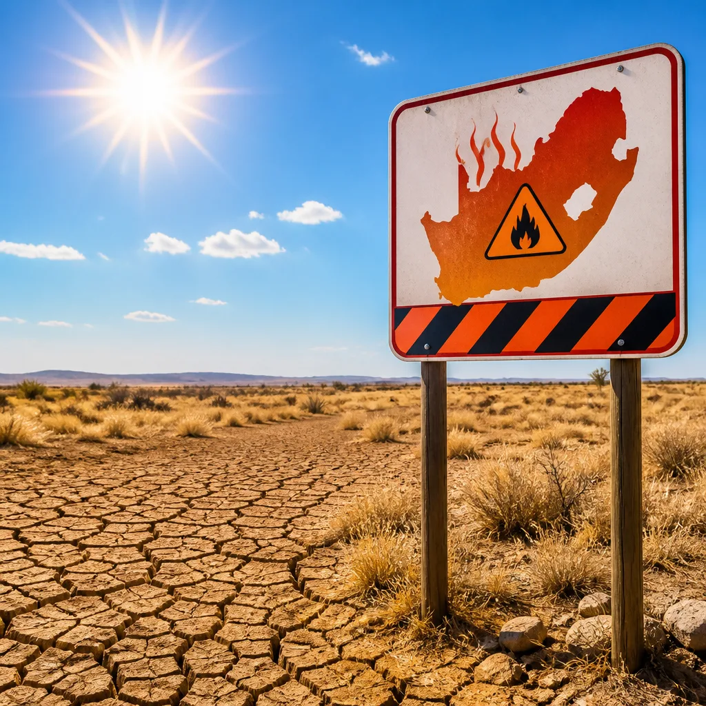
- Raised fire danger in regions where vegetation is dry; fire warnings may be issued more frequently.
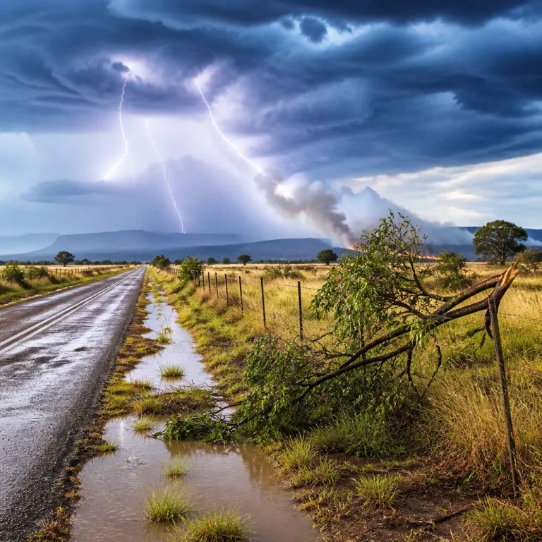
- While drought risk is elevated, isolated severe thunderstorms with heavy rain, lightning and damaging winds can still occur locally and should be monitored via daily warnings.
Experts interviewed in the original reporting, including academic commentary, note that not all El Niño events produce identical impacts. Historical events show variation: some very strong El Niño years were associated with widespread droughts, while others produced locally heavier rainfall in parts of the region.
Practical steps for people and communities
To stay safe and reduce harm over the coming months, follow these practical measures:
- Check the SAWS forecast daily. Use impact‑based warnings (for flood, lightning, wind and fire) rather than assuming weather will follow a single seasonal pattern.
- Prepare for heat and dryness: conserve water where possible, plan for higher indoor temperatures and ensure vulnerable people have access to cooling and water.
- Reduce fire risk: follow local municipal or emergency services advice on open fires, veld burning and safe disposal of cigarette butts.
- Farmers and gardeners: review cropping and irrigation plans with extension officers and keep fire‑breaks clear.
- Outdoor workers: anticipate hotter conditions and increased UV; take regular breaks, hydrate and use sun protection.
Context and possible consequences
SAWS has described the 2026/27 El Niño as “developing into an exceptional event in its timing and magnitude,” and said that “all signals” point to a very strong episode. Historically, strong El Niño events have been associated with major rainfall deficits and heat that can affect water resources, agriculture and energy demand. However, the weather service is careful to say that local impacts vary and that individual storms or short stretches of severe weather should still be judged on their own forecasts.
| Period | SAWS outlook |
|---|---|
| October–December 2026 | Drier and hotter across most of the country |
| November–January 2026/27 | Similar pattern expected |
For national and provincial planners, the combination of a strong El Niño signal and the possibility of isolated severe storms means preparedness should cover both drought‑mitigation and rapid response to localised extreme weather. Local authorities should continue issuing impact‑based warnings where necessary and ensure vulnerable communities can access assistance.
Ultimately, being in a very strong El Niño increases the odds of drier, hotter conditions across southern Africa, but it is not a substitute for watching the daily forecasts that tell you whether your area faces immediate danger from storms, fire or heat. Rely on SAWS impact warnings and heed municipal and emergency‑services instructions when they are issued.