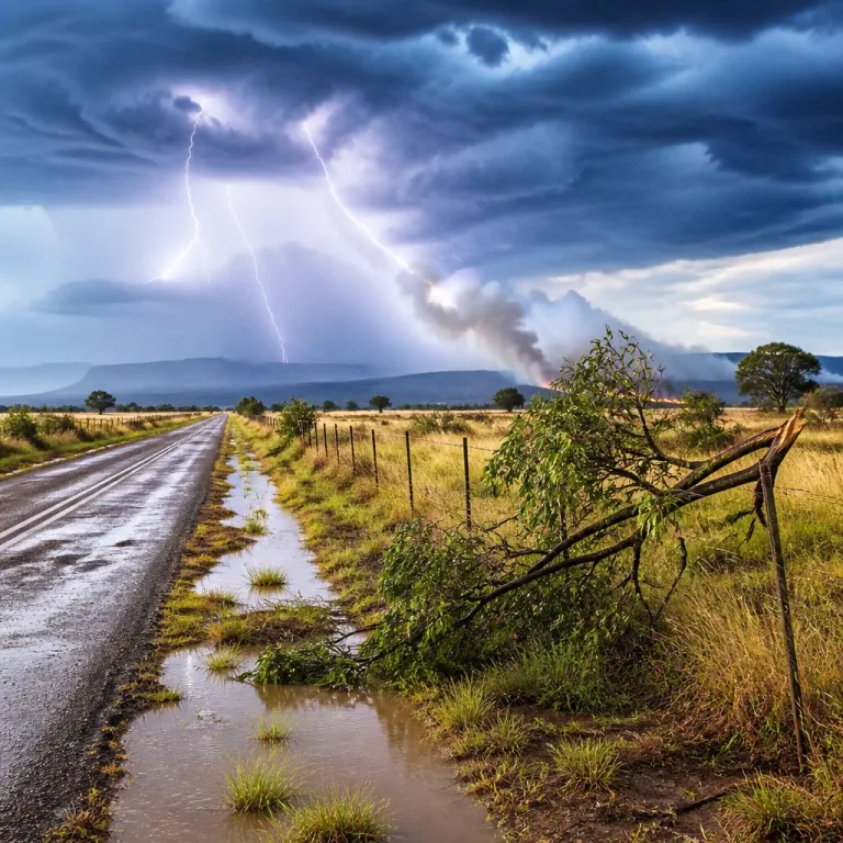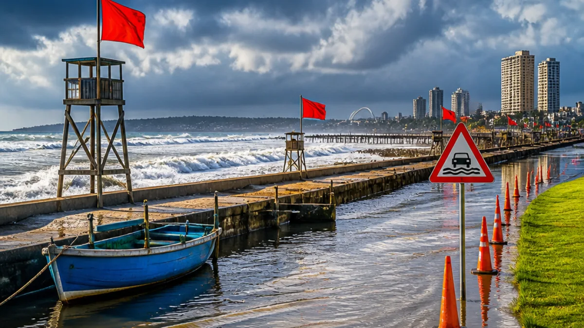
The South African Weather Service (SAWS) has issued multiple yellow Level 2 warnings for KwaZulu‑Natal ahead of a powerful storm system moving over the province this weekend. The alerts cover severe thunderstorms with heavy rainfall, damaging interior winds and hazardous coastal conditions that may disrupt travel, damage property and threaten small vessels.
What the warnings say
SAWS’ impact‑based warnings are aimed at highlighting likely damage and disruption. For KwaZulu‑Natal the service issued three separate yellow Level 2 alerts:
- Severe thunderstorms — heavy downpours, strong damaging winds, hail and excessive lightning, with localised flooding of roads, low‑lying areas and bridges, and possible damage to settlements and infrastructure.
- Damaging interior winds — strong gusts that could cause localised damage to settlements and affect transport routes and travel services across most parts of the province.
- Damaging winds and waves along the coast — conditions that may disrupt small harbours and ports, place small vessels at risk of taking on water or capsizing, and make navigation difficult along the KZN coastline.
| Warning | Main hazards | Possible impacts |
|---|---|---|
| Yellow Level 2 (A) | Severe thunderstorms, heavy rain, hail, lightning | Local flooding, damage to infrastructure and settlements |
| Yellow Level 2 (B) | Damaging interior winds | Transport disruption, damage to property |
| Yellow Level 2 (C) | Damaging winds and high waves | Small‑harbour disruption, risk to small vessels |
Where the warnings apply
SAWS notes the thunderstorm and wind warnings cover much of KwaZulu‑Natal, except the extreme southern parts of the province. Coastal warnings apply along the KZN shoreline. The service also issued a separate outlook for the country’s other provinces, indicating a mix of warm, partly cloudy conditions and isolated showers in areas such as Gauteng, Mpumalanga and Limpopo.
Local impacts and advice
This combination of heavy rain and strong winds raises several immediate concerns for KZN communities, especially in low‑lying suburbs, informal settlements and areas with older or poorly maintained infrastructure. Practical precautions include:
- Secure loose objects, outdoor furniture and building materials.
- Avoid travel in heavy storms; if you must drive, slow down on wet roads and watch for flooded sections and fallen trees.
- Keep clear of rivers, drains and bridges during peak flows; do not attempt to cross flooded roads.
- Coastal users and small‑boat operators should avoid going to sea; harbour operators should heed port notices.
- Charge mobile phones and have emergency numbers to hand, including local municipal disaster management and SAPS where necessary.
Municipalities and emergency services typically activate disaster plans for such warnings. Residents should follow updates from SAWS and local authorities and be prepared to move to higher ground if flooding threatens their homes.
Transport, schools and events
Strong winds and heavy rain can affect travel on major routes and local roads, as well as rail services and flights where visibility and wind are limiting. Event organisers should monitor the situation closely. Schools are advised to consult district education offices for guidance if conditions deteriorate.
Wider context
SAWS’ impact‑based warnings aim to provide actionable information beyond the standard colour alerts by describing likely impacts on people, infrastructure and services. While these yellow Level 2 warnings do not demand an immediate evacuation across the province, they signal a heightened risk of localised damage and disruption that warrants early preparedness.
Residents of Durban and other coastal towns should watch the sea state and heed any instructions from harbour authorities. Those in flood‑prone areas inland — from eThekwini’s peri‑urban fringes to smaller towns across the north and interior — should clear storm drains where possible and keep a weather radio or phone alert active.
SAWS will continue to update the forecasts and warnings as the system develops. For the latest official information, consult the South African Weather Service website and local municipal emergency channels.
Stay safe and plan for changing conditions; if you are unsure about an immediate threat, contact your local disaster management centre for guidance.