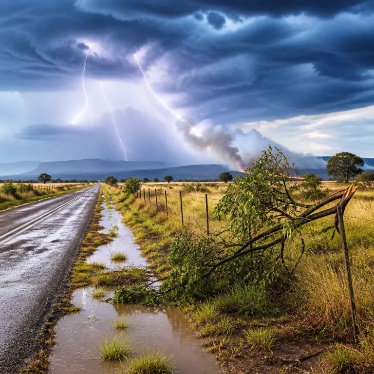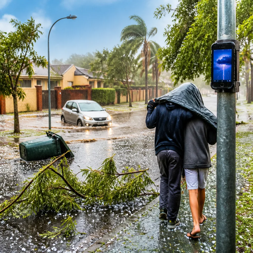
What you need to do now: keep an eye on weather updates, avoid travel on low-lying roads if heavy rain starts, secure loose items outdoors, bring pets and vulnerable family members inside, and stay away from trees and metal structures during lightning. If possible, delay non-essential journeys while storms move through.
Yellow warning issued for parts of three provinces
The South African Weather Service (SAWS) has issued a Yellow Level 2 warning for severe thunderstorms across large parts of Gauteng, Mpumalanga and Limpopo. The warning cautions that storms may produce heavy downpours, strong damaging winds, hail and excessive lightning, which can cause localised flooding of susceptible roads, low‑lying areas and bridges, and local damage to settlements and infrastructure.
"Partly cloudy and warm conditions are expected, but it will be cool in places across the southeastern parts of the RSA, with isolated to scattered thunderstorms possible over the eastern parts of the country." – SA Weather Service (tweet)
SAWS’ colour‑coded system places this event at Yellow, indicating a moderate risk that requires public awareness and preparedness. The agency also uses numbered levels to indicate the likelihood and potential impact of weather events.
Where the risk is highest and expected impacts
The warning specifically covers the Mpumalanga Highveld, south‑western areas of Limpopo, and most of Gauteng (excluding the south‑western corner of the province). Expected hazards include:
- Heavy downpours that may lead to rapid surface water buildup and localised road flooding.
- Strong, damaging winds capable of unroofing structures, toppling trees and disrupting power lines.
- Hail that can damage vehicles, roofs and crops.
- Excessive lightning posing direct risk to people and potentially triggering fires or power faults.
People who live in low‑lying areas, near bridges or in settlements with vulnerable infrastructure should take particular care.
Short‑range forecast for affected areas
SAWS expects isolated to scattered showers and thundershowers across eastern parts of the country, with morning fog along the escarpment in Mpumalanga and Limpopo. The Western Cape should remain mainly fine and cool, while parts of the Eastern Cape will be cloudy and cold with isolated showers.
| Location | Expected temperatures (°C) |
|---|---|
| Pretoria | 17–29°C |
| Johannesburg | 13–28°C |
| Vereeniging | 13–27°C |
| Mbombela | 15–17°C |
| Ermelo | 11–14°C |
| Emalahleni | 14–24°C |
SAWS emphasises that the thunderstorms are expected to be isolated to scattered — this means some areas will see severe conditions while nearby locations may remain largely unaffected. The situation can change rapidly; check forecasts frequently.
Safety and preparedness tips
- Avoid driving through flooded roads or across bridges where water is flowing over the surface — even shallow water can sweep a vehicle away.
- Secure loose garden items and outdoor furniture that strong winds could turn into projectiles.
- Stay indoors during lightning storms; avoid using landline phones and postpone work on tall or exposed structures.
- Move vehicles under cover where possible to reduce hail damage risk.
- Keep a battery‑powered torch, first‑aid kit and emergency numbers handy in case of power loss or localised damage.
Monitor updates from SAWS and follow instructions from local authorities if impact‑based warnings are upgraded. If you encounter dangerous conditions on the road, contact the South African Police Service or local emergency services for assistance.
Weather conditions across the country will vary over the next 48 hours; those in the eastern provinces should be especially vigilant for sudden storms and heavy rainfall.