
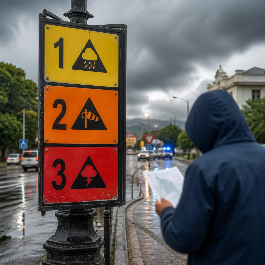
Lead with action: If the South African Weather Service (SAWS) issues a warning for your area, check the colour and level immediately and follow the precautionary steps below. Warnings are designed to describe not just expected weather but the likely impacts on people, property and services.
What the colours mean
SAWS uses an impact-based warning system that combines a colour with a numeric level. The colour describes the potential severity of impacts and the number reflects the likelihood that those impacts will occur. This means a higher number does not necessarily mean stronger winds or heavier rain — it shows greater confidence that the expected impacts will happen.
The three colour bands are:
- Yellow — minor to significant impacts are possible; stay informed and be prepared.
- Orange — big to severe impacts are possible; take active precautions to protect life and property.
- Red — severe impacts are expected with threat to lives, property and infrastructure; follow urgent safety instructions.
What the numbers mean
The numeric level works alongside the colour to show how confident forecasters are about the impacts occurring. For example, a big impact with a low likelihood may be assigned a lower yellow level, whereas the same impact with higher likelihood could be elevated to orange. SAWS has used combinations such as Yellow Level 1 or 2, Orange (with various levels) and Red warnings.
Even lower yellow levels are not a licence to ignore a warning. A Yellow Level 1 or 2 may still indicate localised damage such as:
- damage to vulnerable structures;
- falling trees;
- localised power or communication disruptions;
- problems for high-sided vehicles on exposed routes.
"The warning colour indicates the potential severity of the impact, while the number indicates the likelihood of that impact occurring," SAWS said, according to reporting.
Recent use of warnings
In April 2026, SAWS issued a Yellow Level 2 warning for damaging winds in parts of the Eastern Cape, noting possible localised damage to settlements and temporary structures, according to reporting. That example shows how a yellow-level alert can still require targeted action by communities and emergency services.
Practical steps to take
Be practical and prepared. The following measures align with the level of warning and help reduce the risk to life and property:
- Monitor official SAWS updates and local authority bulletins — warnings can change as new information arrives.
- Secure loose items around homes and businesses (outdoor furniture, signage, shade cloth) ahead of high winds.
- Avoid unnecessary travel during orange or red warnings, especially on exposed or high-altitude routes.
- Keep a battery-operated torch, charged phone and essential medicines accessible in case of power or communication outages.
- Move to a safe room away from windows during severe wind or flying debris threats.
- Follow instructions from emergency services, your municipality or community leaders without delay.
How to interpret warnings quickly
Use this simple reference to gauge when to act:
| Colour | Typical message | Action |
|---|---|---|
| Yellow | Minor to significant impacts possible; localised disruption likely | Prepare and stay informed |
| Orange | Big to severe impacts possible; widespread disruption likely | Take active precautions; avoid high-risk activities |
| Red | Severe impacts expected; threat to lives and infrastructure | Act immediately; follow emergency instructions |
SAWS issues warnings to help communities, emergency services and transport operators make timely decisions. Understanding both the colour and the level will help you assess whether to shelter, move to higher ground, delay travel or secure property.
For the Weather desk: keep a battery-powered radio or a charged phone with SAWS alerts enabled, check your municipality's emergency plan, and secure vulnerable structures. These measures are straightforward and make a real difference when winter storms or damaging winds arrive.












