
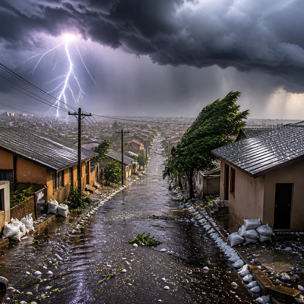
What you must do now: avoid driving through flooded roads, secure loose items outside, stay indoors during lightning and hail, and monitor updates from the SA Weather Service (Saws) and local authorities. If you are in KwaZulu‑Natal, expect short periods of very heavy rain and gusty winds that can damage property and cause localised flooding.
Yellow Level 2 warning for KwaZulu‑Natal
The SA Weather Service has issued an impact‑based Yellow Level 2 warning for most parts of KwaZulu‑Natal, excluding the extreme northern areas and the north‑eastern coastline and adjacent interior. The advisory warns of severe thunderstorms that may bring:
- Heavy downpours that can lead to rapid, localised flooding;
- Damaging winds capable of toppling weak structures or uprooting trees;
- Hail that can damage roofs, vehicles and crops;
- Excessive lightning, which poses a direct risk to people outdoors and can cause fires and power faults.
“Damaging winds, hail, and excessive lightning resulting in localised flooding, damage to infrastructure and settlements are expected over most parts of KwaZulu‑Natal,” the SA Weather Service said.
What to expect across the rest of the country
Outside KwaZulu‑Natal, much of South Africa will see a mixture of cloud and scattered showers, particularly in eastern and interior regions. The Western Cape is expected to remain largely fine, while other provinces may experience isolated thundershowers.
| Province | Brief outlook | Notable details |
|---|---|---|
| Gauteng | Partly cloudy, cool to warm | UVB (sunburn) index: Moderate |
| Mpumalanga | Cloudy with isolated showers/rain in the east | Morning fog patches in the extreme south‑east |
| Limpopo | Cloudy with isolated showers/rain in the east | Otherwise partly cloudy, cool to warm |
| North West | Partly cloudy, cool to warm | Isolated showers and thundershowers over western parts |
| Free State | Cloudy with morning fog patches | Isolated to scattered showers and thundershowers in western/central areas |
| Northern Cape | Partly cloudy, windy, cool to warm | Scattered showers and thundershowers in the south; fresh to strong SE winds along the coast |
| Western Cape | Fine in the west, partly cloudy elsewhere | Isolated thundershowers over the eastern interior from the afternoon |
Safety advice and practical tips
Follow these precautions to reduce risk to life and property:
- Keep clear of rivers, streams and low‑lying areas prone to flooding. Never drive through standing water — it can be deeper and faster than it looks.
- Move vehicles under cover where possible and secure or bring inside loose outdoor items such as garden furniture, signage and light structures.
- During thunderstorms, avoid open fields, hilltops and isolated trees. Stay indoors and unplug electrical appliances where safe to do so to reduce lightning damage.
- Check on neighbours, especially older people and those in informal settlements who may be vulnerable to storm damage.
- Monitor local news, municipal emergency services and Saws for any upgrades to warnings or evacuation instructions.
The SA Weather Service did not issue any fire danger warnings or advisories at the time of the bulletin. Residents should still exercise caution in windy coastal and inland areas where gusts may be strong enough to affect light structures and produce flying debris.
How to stay informed
Keep tuned to official channels for real‑time information: Saws updates, municipal emergency services and local broadcasts. If conditions worsen, follow instructions from emergency responders and your municipal disaster management centre.
Where possible, prepare an emergency kit with essential items (water, torch, radio, charged phone, basic first‑aid supplies and necessary medication). Plan a safe place in your home away from windows during hail or severe wind.
This bulletin is based on the latest Saws advisory covering the nine provinces. Weather conditions can change rapidly; continue to check forecasts and warnings for your area.












