
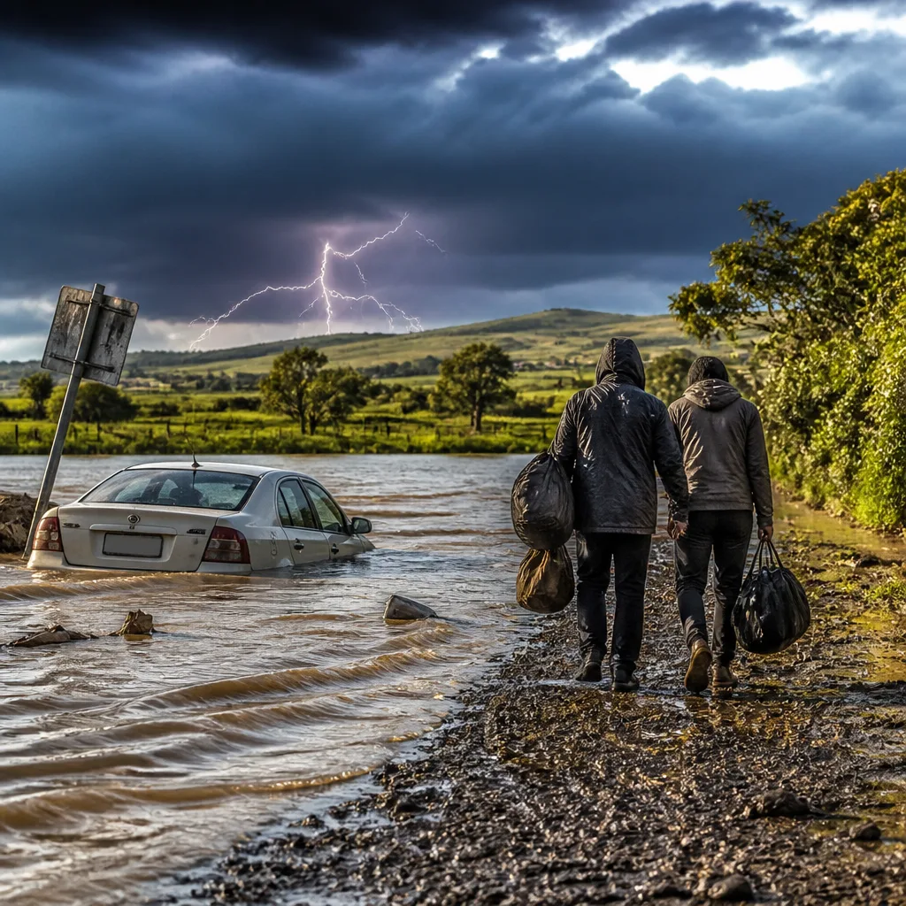
What to do now: prepare for heavy rain in affected areas, avoid driving through flooded roads, secure outdoor items and stay updated with official SAWS warnings and local emergency services. Keep a charged phone and a battery-powered torch within reach in case of power disruptions.
Weekend outlook and areas of concern
The South African Weather Service (SAWS) says parts of the country face a cold weekend with showers and thundershowers continuing from Saturday into Sunday and Monday. The weather system could produce heavy downpours and severe thunderstorms in some regions, increasing the risk of localised flooding.
SAWS highlighted the Northern Cape and Free State as provinces that could experience heavy rain accompanied by severe thunderstorms, with the potential for damaging winds, hail and localised flooding. KwaZulu‑Natal and parts of the Eastern Cape are expected to remain wet, with concerns about flooding in some locations.
Conditions elsewhere
Gauteng is forecast to be cloudy and cool on Saturday, turning partly cloudy later in the day. Limpopo and Mpumalanga should see cool to warm conditions, with showers and rain in places. The Western Cape is expected to be cool to warm with some showers and thundershowers in the north‑east, while parts of the Northern Cape will remain cloudy and windy.
- Key hazards: heavy downpours, severe thunderstorms, damaging winds, hail and localised flooding.
- High‑risk provinces this weekend: Northern Cape, Free State, KwaZulu‑Natal, parts of the Eastern Cape.
- Transport advisory: motorists should take extra care on wet roads where heavy rain may reduce visibility or cause localised flooding.
Practical safety advice
Follow these straightforward steps to reduce risk to life and property during heavy rain and thunderstorms:
- Avoid driving through standing or flowing water — even shallow water can stall a vehicle or hide hazards.
- Move to higher ground if you are in a low‑lying area prone to flooding. Do not enter flooded informal settlements or flood channels.
- Secure loose items outdoors that could be blown about by strong winds or cause damage if swept into drains.
- Unplug electrical appliances during storms if lightning is frequent; keep a torch and a charged phone for updates.
- Check on neighbours who may need assistance, especially the elderly and those with mobility challenges.
Local impacts at a glance
| Province | Expected conditions | Main concerns |
|---|---|---|
| Northern Cape | Cloudy, windy in places; heavy downpours in areas | Localised flooding, damaging winds |
| Free State | Showers and thundershowers | Severe thunderstorms, hail, localised flooding |
| KwaZulu‑Natal | Wet with showers and rain | Flooding concerns in some areas |
| Eastern Cape (parts) | Showers and rain expected | Flooding possible in susceptible locations |
| Gauteng, Limpopo, Mpumalanga, Western Cape | Mixed: cloudy to partly cloudy; scattered showers in places | Localized wet roads and reduced visibility |
Motorists are specifically urged to exercise caution where heavy rain may reduce visibility or create standing water on roads. Slow down, increase following distance, and switch on headlights in poor visibility. Avoid using cruise control on wet surfaces.
Stay informed through SAWS updates and local emergency services for any changes to warnings or the issuance of more severe alerts. In the event of localised flooding, follow the instructions of municipal officials and emergency responders.
Remember: short‑duration heavy downpours can produce rapid surface runoff and drain blockages in urban areas, so even brief intense showers can cause hazardous conditions. Take practical steps now to reduce risk and check on those who may need help.












