
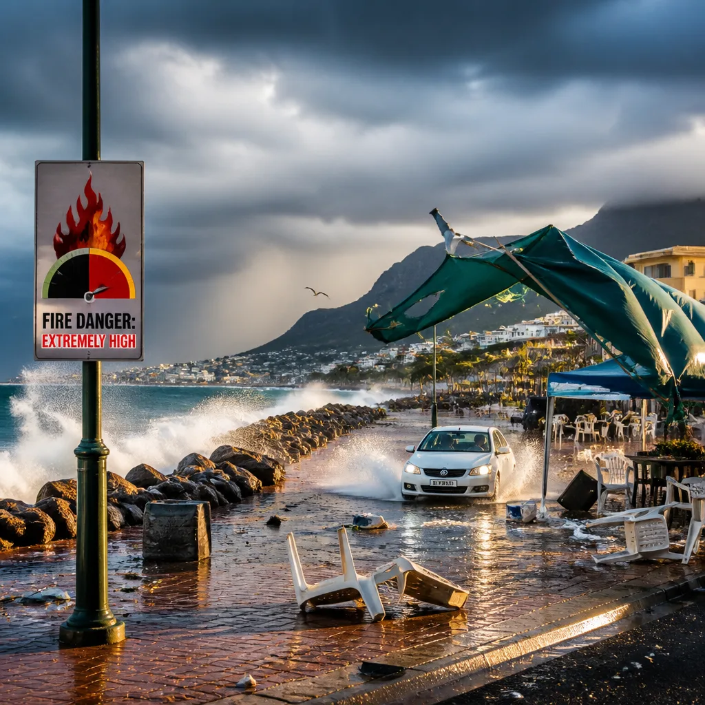
Act now to reduce risk: move loose items indoors, avoid unnecessary travel in affected areas, secure temporary structures and be prepared for localised power and communication outages. The South African Weather Service (SAWS) has issued multiple impact-based yellow warnings covering heavy rain, severe thunderstorms, damaging winds and coastal wave action across several provinces.
What SAWS says and where
SAWS' latest updates indicate a complex weather set-up affecting wide parts of the country. The warnings include threats of flooding of roads and settlements, excessive lightning, service disruption caused by power interruptions and damage to informal and temporary structures.
The agency categorised the alerts into a series of coded warnings. Key points are presented in the table below for quick reference.
| Warning | Area | Main impacts |
|---|---|---|
| A (Yellow Level 4) | Eastern Namakwa (Northern Cape); Central Karoo District (Western Cape) | Disruptive rain leading to flooding of roads and settlements and major traffic disruption |
| B (Yellow Level 2) | Nama Khoi & Kamiesberg (Northern Cape); West Coast, Cape Winelands, Overberg, City of Cape Town (Western Cape) | Severe thunderstorms with excessive lightning, localised injuries and power disruption |
| C (Yellow Level 1) | North-eastern coast and adjacent interior (Eastern Cape) | Severe thunderstorms causing localised damage to settlements and interruptions to power and communications |
| D (Yellow Level 2) | North West; eastern Northern Cape; central & western Free State; central & western Limpopo; northern parts of Eastern Cape | Damaging winds with potential harm to informal settlements and infrastructure |
| E (Yellow Level 2) | Marine zone between Port Edward and Richards Bay and adjacent interior | Damaging winds and waves threatening small harbours, navigation and local infrastructure |
| F (Yellow Level 1) | Extreme north-eastern parts of the Eastern Cape coast and adjacent interior | Damaging winds, local interruptions to power, communications and difficulty with navigation |
Immediate safety actions
- Avoid travel on flooded or water-covered roads; turn around, don’t drown.
- Secure or bring inside loose items and temporary structures that could be damaged by strong winds.
- Expect power and communication interruptions in affected areas; have an alternate plan for emergency contact and lighting.
- Stay out of fast-flowing rivers and drains during and after heavy rain; do not attempt to cross submerged roads.
- Mariners and small-harbour operators between Port Edward and Richards Bay should prepare for short periods of disruption to navigation and harbour activities.
People who live in low-lying or flood-prone areas should monitor local authority and SAWS updates and be ready to move to higher ground if advised. Those in informal settlements should be particularly cautious about wind and water impacts on temporary structures.
Fire danger
Alongside these yellow warnings, SAWS also issued a fire danger warning of extremely high levels in some areas. High fire danger and heavy winds can quickly worsen fires; residents and land managers should avoid open flames, follow local fire-safety restrictions and report any uncontrolled fires to emergency services immediately.
Local emergency services, municipal authorities and road agencies are likely to be busy. If you are in an impacted area, keep essential items and documentation in a waterproof bag, charge phones when possible, and listen for official instructions from municipal disaster management centres.
SAWS will continue to update its forecasts and warnings as the situation evolves. Check SAWS' official channels and your local authority bulletins for the latest information.
Preparedness summary: secure belongings, avoid floodwater, plan for outages, and keep an eye on official SAWS warnings relevant to your area.












