
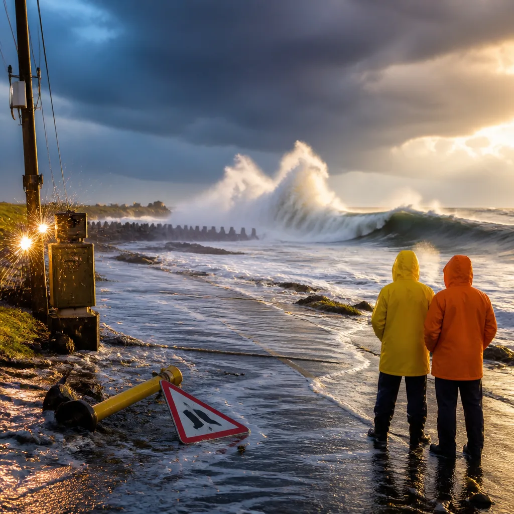
Prepare for heavy downpours, lightning and strong winds — what to do
A cut-off low developing off the west coast is expected to affect parts of the country from Sunday into Monday, bringing heavy rain, thunderstorms, hail, lightning and gusty winds. The South African Weather Service (SAWS) has issued multiple impact-based warnings for several provinces. Residents, motorists and farmers should prepare for sudden flooding, power interruptions and hazardous seas.
Where and what to expect
SAWS warned of intermittent showers and thundershowers that could produce heavy downpours and, in places, small hail. Lightning may be excessive in some areas, increasing the risk of injury to people and livestock and causing localised power outages. Coastal and interior areas are likely to experience strong winds, and seas may become rough — SAWS noted seas could reach about 4.0 to 4.5 metres south of Table Bay.
- Disruptive rain (Yellow Level 4): flooding of roads and settlements and major traffic disruption expected over eastern Namakwa in the Northern Cape and the Central Karoo District of the Western Cape.
- Severe thunderstorms with excessive lightning (Yellow Level 2): possible local injuries to humans and livestock and service disruptions over Nama Khoi and Kamiesberg (Northern Cape), the West Coast, Cape Winelands and Overberg districts, and the City of Cape Town.
- Severe thunderstorms (Yellow Level 1): localised damage to temporary structures and interruptions to power and communications along parts of the north-eastern Eastern Cape coast and adjacent interior.
- Damaging winds (Yellow Level 2): potential damage to informal settlements and disruptions to power and communications across the North West, eastern Northern Cape, central and western Free State, central and western Limpopo and parts of the northern Eastern Cape.
- Damaging winds and waves (Yellow Level 2): possible short-term disruption to small harbours and difficulty in navigation between Port Edward and Richards Bay and nearby inland areas.
Quick safety steps
- Avoid driving through flooded roads — even shallow water can stall vehicles or hide hazards.
- Secure outdoor items and reinforce temporary structures, particularly in informal settlements and high-wind areas.
- Take lightning precautions: keep clear of open fields, tall isolated trees and metal objects during storms.
- Prepare for intermittent power outages — charge devices, have torches and avoid using candles near flammable materials.
- Small-scale fishers and harbour operators between Port Edward and Richards Bay should heed local harbour advisories and delay departures if seas are rough.
Impacts for specific sectors
Transport: Heavy rain may flood low-lying roads and bridges, causing detours and delays. Motorists are advised to reduce speed, increase following distance, and avoid driving through standing water.
Agriculture and livestock: Excessive lightning and hail can harm small stock and damage crops. Farmers should move vulnerable animals to shelter where possible and secure equipment.
Energy and communications: Strong winds and lightning increase the likelihood of power and communications interruptions. Households should have basic supplies on hand, and businesses should activate contingency plans for critical systems.
| Warning type | Level | Primary impact |
|---|---|---|
| Disruptive rain | Yellow Level 4 | Flooding of roads and settlements; major traffic disruption |
| Severe thunderstorms (lightning) | Yellow Level 2 | Local injuries; power/service disruptions |
| Damaging winds / waves | Yellow Level 2 | Small-harbour disruption; navigation difficulty |
Monitoring and where to get updates
SAWS remains the primary source for warnings and updates. Citizens should monitor official SAWS bulletins, local radio and emergency services for changes to warning levels and any civil defence instructions. Municipal emergency management centres will coordinate relief and response where flooding or wind damage occurs.
This system may produce rapid changes in conditions, especially where thunderstorms develop. Stay informed, avoid unnecessary travel during heavy storms and follow instructions from local authorities to reduce risk.












