
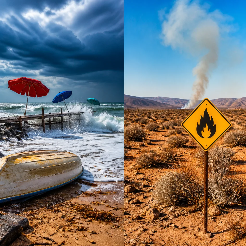
Damaging winds along long sections of the coastline and an extremely high fire danger in parts of the Northern Cape are the main features of the latest SA Weather Service update. The warnings affect both maritime operations and communities near flagged zones.
What the warnings say
The SA Weather Service has issued multiple impact‑based warnings, including:
- Yellow Level 2 warning for damaging winds expected to cause localised disruption to beachfront activities, disruption of small harbours and difficulty navigating small boats and vessels along the coast between Port Alfred and Port Edward.
- Yellow Level 2 warning for damaging winds along the coast and adjacent interior between Port Edward and Richards Bay, with similar impacts to small harbours, navigation and some infrastructure.
- Extremely high fire danger for several local municipalities in the Northern Cape: Dawid Kruiper, Kai !Garib, Kareeberg, !Kheis and Siyathemba.
Practical safety steps
People in affected coastal and inland areas should take basic precautions to reduce risk:
- Avoid non‑essential travel along exposed coastal roads during strong gusts; secure loose outdoor items and shade structures.
- Small‑boat operators and recreational mariners should not put to sea while warnings remain in place; check with harbour authorities before planning departures.
- Residents and landowners in the Northern Cape municipalities listed should remove flammable material from around structures, enforce burn‑ban rules and follow instructions from local fire and municipal services.
- Report any uncontrolled fires immediately to emergency services; do not attempt to fight large veld or wildland fires alone.
Province‑by‑province outlook
The SA Weather Service also issued a broader provincial outlook describing mainly fine but variable conditions with some regional exceptions:
| Province | Main forecast |
|---|---|
| Gauteng | Partly cloudy; cool to warm in places. UVB Sunburn Index: Moderate. |
| Mpumalanga | Morning fog patches on the escarpment, then partly cloudy; cool to warm with isolated showers and rain in the east. |
| Limpopo | Partly cloudy with isolated showers and rain in eastern areas; otherwise cool to warm. |
| North West | Partly cloudy, windy and warm. |
| Free State | Morning mist over the extreme east; otherwise partly cloudy and cool to warm, becoming windy in the south‑west in the afternoon. |
| Northern Cape | Partly cloudy, windy and warm; very high fire danger in specified municipalities. |
| Western Cape | Morning fog patches over the southern interior, otherwise fine and warm; partly cloudy and hot in central and eastern parts. |
Impacts and context
Yellow Level 2 warnings indicate conditions that are likely to cause localised disruption rather than widespread catastrophe, but they can still present hazards to life and property — particularly for small‑craft operators, beachfront businesses and communities with limited shelter from strong gusts. The extremely high fire danger rating means that fires, once started, may spread rapidly and be difficult to control, increasing the risk to properties and livelihoods in the flagged municipalities.
Local authorities, maritime operators and emergency services will monitor conditions and issue further instructions where needed. People in affected areas should follow local media and municipal advisories for updates.
If you are in an area with strong winds: secure outdoor items, avoid walking near trees and structures that may be weakened, and exercise caution on high coastal promenades. In areas with elevated fire danger: observe smoking and open‑flame restrictions, keep water and firefighting tools at hand where possible, and have an evacuation plan if you live in a high‑risk area.
Stay tuned to official SA Weather Service bulletins and local emergency services for any escalation or new warnings.












