
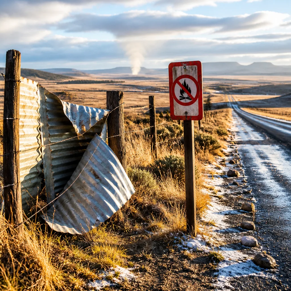
Prepare for strong winds, elevated fire risk and icy patches on Thursday, 13 August 2026. The South African Weather Service (SAWS) has issued impact-based warnings for parts of the Western and Northern Cape and advisories for very cold conditions and slippery roads in eastern highland districts of the Eastern Cape. Residents, road users and emergency services should take precautions.
What has been warned and where
SAWS issued a yellow level 2 warning for damaging winds that could cause localised harm to temporary structures and reduce visibility because of dust over northern areas of the West Coast District and the Witzenberg Local Municipality in the Western Cape, as well as the Namakwa District in the Northern Cape.
In addition, SAWS flagged extremely high fire danger for specific local municipalities in the far west:
- Nama-Khoi (Northern Cape)
- Hantam (Northern Cape)
- Matzikama (Western Cape)
- Cederberg (Western Cape)
The service also advised of very cold conditions and icy or slippery roads in areas of the Eastern Cape, listing affected local municipalities where road conditions may be hazardous: Emalahleni, Sakhisizwe, Senqu, Elundini and Matatiele.
Provincial synopsis for 13 August
SAWS forecast varied conditions across provinces. Key points from the outlook for Thursday are:
- Gauteng: cloudy and cool to cold.
- Mpumalanga: morning fog patches on the escarpment; otherwise cloudy to partly cloudy, cool to cold with isolated showers and rain in the east.
- Limpopo: morning fog patches over the escarpment; cloudy to partly cloudy, cool to cold, with isolated showers in the east.
- North West: cloudy and cool to cold.
- Free State: morning fog patches in the extreme east; otherwise cloudy and cold.
- Northern Cape: evening fog along the coast; otherwise fine in places but with strong winds in northern districts.
- Western Cape: fine and warm in places in the west, though damaging winds and fire danger are a concern in northern and north-western municipalities.
- Eastern Cape: very cold in parts with icy road warnings on higher ground; isolated showers and drizzle possible along the north-eastern escarpment and extreme east.
Safety advice and practical steps
Practical measures to reduce risk during this period include:
- Secure loose objects outdoors and reinforce temporary structures or signage that could be damaged by strong winds.
- Avoid open burning and be vigilant with any flame or spark-producing activities in areas where fire danger is extremely high. Landowners and farmers should ensure firebreaks are clear and firefighting equipment is available.
- Drivers should reduce speed on routes that traverse the escarpment and high-lying passes, allow extra stopping distance and watch for icy patches where temperatures are very low.
- Pedestrians and commuters should dress in layered clothing and check for delays on public transport where fog and icy surfaces may affect services.
- Monitor updates from SAWS, provincial traffic authorities and emergency services for changes to warnings and road closures.
"Fine and warm in places in the west, otherwise partly cloudy and cold to cool with isolated showers and rain in the extreme east but drizzle along the north-eastern escarpment," SAWS said in its extended outlook for 13–14 August.
Short-term outlook
SAWS expects conditions to remain mixed through Thursday and into Friday, with western districts seeing some warmer spells while the interior and eastern highlands stay cool to cold. Isolated rain or drizzle is possible on the east coast and along the escarpment, and wind-swept dust may temporarily reduce visibility in northern coastal and inland districts.
| Hazard | Affected areas | Advice |
|---|---|---|
| Damaging winds | West Coast and Witzenberg (WC), Namakwa (NC) | Secure loose items; expect temporary visibility issues from dust |
| Extremely high fire danger | Nama-Khoi, Hantam (NC); Matzikama, Cederberg (WC) | Avoid open fires; be ready to respond to veld fires |
| Very cold/icy roads | Emalahleni, Sakhisizwe, Senqu, Elundini, Matatiele (EC) | Drive with caution; watch for black ice on high passes |
Keep tuned to SAWS alerts and local emergency services for the latest information. If you live or work in the highlighted areas, implement the precautions above and check on vulnerable neighbours who may need assistance coping with cold or fire risk.
Stay informed and stay safe.












