
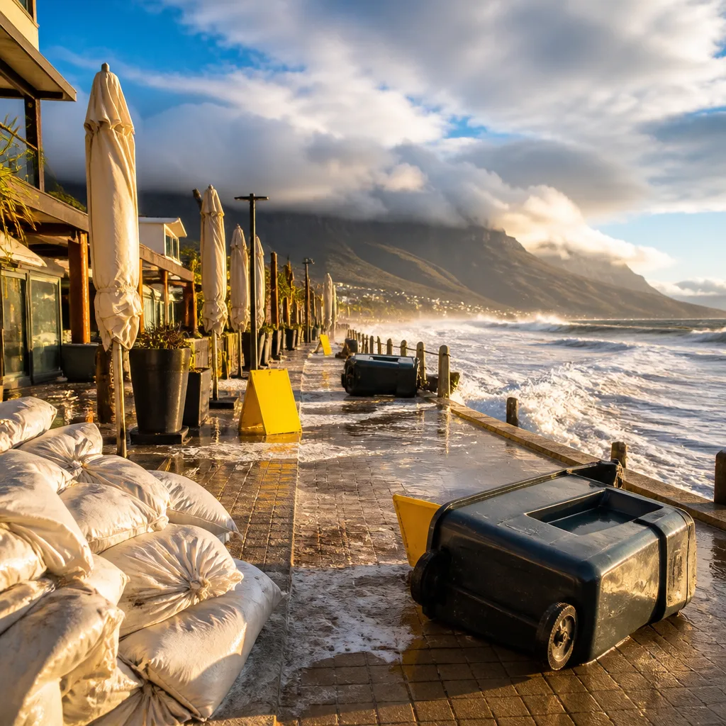
Act now: secure loose items, avoid unnecessary coastal travel and follow local authority advice. South Africa faces a mix of settled inland weather and unsettled, windy conditions along the southern and eastern seaboards this weekend, with the South African Weather Service (SAWS) issuing targeted warnings for damaging winds.
What to expect where you are
Much of the interior will remain dry and relatively mild, with fine and warm weather forecast for parts of Gauteng, Mpumalanga, Limpopo and the North West. Morning fog is possible over eastern low-lying areas, and the Lowveld may become hot in places.
By contrast, coastal provinces — particularly the Western Cape and Eastern Cape — will feel distinctly wintry, with cloud, mist in the mornings and cooler temperatures. The Eastern Cape is expected to be the most unsettled, with strong to gale-force winds likely along long stretches of coastline and a risk of light, isolated rain in places.
- Gauteng: fine, warm and high UVB — take sun protection if outdoors.
- Mpumalanga & Limpopo: fine and warm; morning fog in the east, hot spells possible in the Lowveld.
- North West & Free State: generally fine; the Free State may be cool to warm and blustery in places.
- Northern Cape: partly cloudy in the south-west with cold mornings; strong winds in the extreme east.
- Western Cape: cold to cool with cloud and morning mist across southern parts; limited rain chance (about 30% in the south-west).
- Eastern Cape: cloudy western half with a 30% chance of light coastal rain near Gqeberha; strong and potentially damaging winds along much of the coastline.
- KwaZulu-Natal: starts fine and warm to hot, although cloud will increase over the east during the afternoon with coastal breezes.
Warnings and safety advice
SAWS has issued a Yellow Level 2 warning for damaging winds across several Eastern Cape districts, including Joe Gqabi and Chris Hani, and the Nelson Mandela Bay area, extending to coastal municipalities. A separate Yellow Level 2 warning covers damaging winds and high waves from Plettenberg Bay to Port Alfred, with the risk spreading north towards Kosi Bay later.
Practical steps to reduce risk:
- Secure garden furniture, signage and loose objects that could be blown over.
- Avoid walking close to sea promenades and exposed cliffs during strong onshore winds and high surf.
- Drivers should be cautious on exposed stretches of road and high bridges; strong gusts can affect vehicle stability.
- Small craft operators and fishermen should heed marine warnings and consider remaining in port while the warnings are active.
| Region | Primary impact | Chance of rain |
|---|---|---|
| Western Cape (south-west) | Cold, cloudy, morning mist | ~30% isolated in south-west |
| Eastern Cape (coast) | Strong to gale-force winds, coastal rain possible | ~30% coastal spots near Gqeberha |
Impact on travel and outdoor plans
Weekend travel along the south and southeast coasts may be disrupted by strong winds and rough seas. Ferry and small-boat services could be affected by high waves and squally conditions. Inland travellers can expect largely benign conditions, though sudden episodes of fog in the early morning may reduce visibility on some routes — plan for slower driving and increased braking distances.
For people planning outdoor activities: if you are on or near the coast, postpone beach visits during periods of strong onshore wind and high surf. For inland hikes or open-vehicle excursions, check the morning forecast for fog and prepare sun protection for warm daytime conditions.
We will continue to monitor SAWS updates. If your area is named in a warning, treat it seriously: move vehicles away from trees, avoid standing under unsecured structures and keep children and pets away from exposed waterfronts. Follow municipal emergency messages and maritime advisories where relevant.
Stay informed: check the South African Weather Service for real-time updates and warnings before setting out.












