
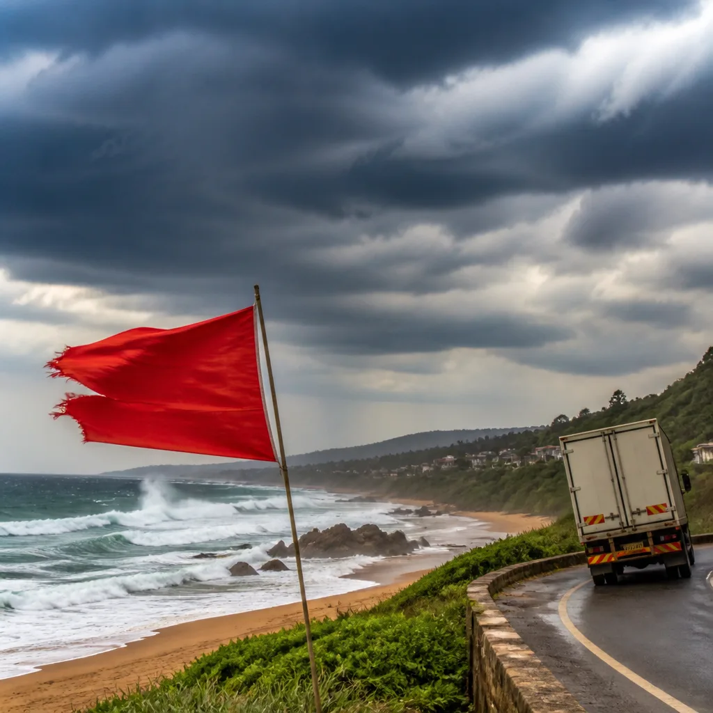
Prepare for unsettled conditions along the south and strong winds on exposed routes this weekend. The South African Weather Service warning system points to periods of rain in southern areas, locally rough seas along parts of the east coast, and damaging interior winds that could affect high‑sided vehicles.
What to expect
Saturday will be broadly fine and cool to warm over the interior, but conditions will be more unsettled in southern and south‑western regions. The Western Cape will be cloudy and cool with morning fog on the south coast and adjacent interior.
Periods of isolated to scattered showers and rain are expected across much of the Western Cape, increasing in frequency along the south coast and the Garden Route. Rain chances are generally lower in the western and central parts of the province but rise to around 60% along the southern coastline and some Garden Route localities.
The Northern Cape warms up, with partly cloudy skies and hot spells in places. The central interior of the province will become windy, and a Yellow Level 2 warning remains in force for damaging interior winds across parts of the Karoo and Namakwa. Motorists, particularly those driving high‑sided vehicles on exposed roads, should expect strong crosswinds.
Coastal hazards and fire danger
Along KwaZulu‑Natal's coast, winds will trend northerly to north‑easterly and are expected to strengthen, with the Weather Service issuing a Yellow Level 2 warning for damaging wind and waves from Port Shepstone to Richards Bay. These conditions could make navigation difficult for small craft and may cause localised disruption at harbours and coastal facilities.
Authorities should also be alert to the potential for wildfires: an extremely high fire danger is expected across parts of the Northern Cape, Western Cape and Eastern Cape. Residents and visitors in fire‑prone areas should reduce ignition risks, follow municipal or provincial fire restrictions, and be ready to act on local emergency advice.
- Western Cape: Cloudy, cool, morning fog on south coast; isolated to scattered showers, up to 60% chance on southern coast and Garden Route.
- Northern Cape: Warmer inland; central interior windy. Yellow Level 2 warning for damaging interior winds in Karoo and Namakwa.
- Eastern Cape: Starts partly cloudy and warm; cloud increases on the southern coast with isolated showers developing; strengthening south‑westerly winds later in the day.
- KwaZulu‑Natal: Mostly fine and warm but with possible morning fog inland; coastal northerly to north‑easterly winds strengthening — Yellow Level 2 for damaging wind and waves from Port Shepstone to Richards Bay.
- Gauteng, Free State, North West: Largely dry and fine to start the weekend, temperatures ranging from cool to warm.
Safety advice
Act now to reduce risk:
- If you plan to travel on exposed routes in the Karoo or Namakwa, delay journeys if possible or secure loads and slow down to reduce the danger from crosswinds.
- Small‑craft operators and harbour users between Port Shepstone and Richards Bay should postpone non‑essential operations and check with local harbour authorities for updates.
- People living in or near fire‑prone vegetation should remove flammable material from around homes, avoid open flames outdoors, and keep a phone and emergency kit ready.
- Drivers should be cautious in areas of reduced visibility from fog on the south coast; use dipped headlights and increase following distance.
Monitor updates from the South African Weather Service and heed local emergency services for changing conditions. Forecasts may evolve as systems move; where warnings are in place, treat them as actionable guidance rather than distant possibilities.
Bottom line: a mostly pleasant interior start to the weekend but take care in southern coastal districts, on exposed high‑level roads in the Karoo and Namakwa, and where fire danger is elevated.












