
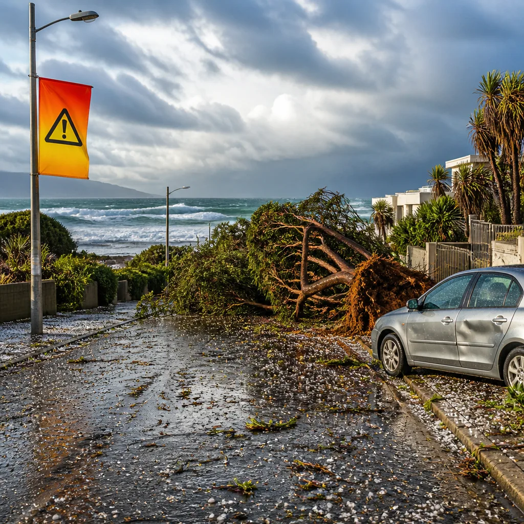
Severe thunderstorms, heavy rain, strong gusts and hail are expected to affect wide areas of the country over the coming 24 hours, the South African Weather Service (SAWS) says. The agency has issued a mix of orange and yellow impact-based warnings for central and eastern parts of the Northern Cape, the North West, the Free State, parts of the Western Cape coast and sections of KwaZulu‑Natal.
What to expect and where
SAWS warns that some storms could become severe, producing localised flooding, very strong winds capable of bringing down trees and power lines, and hail that may damage structures and vehicles. Coastal areas may also see dangerous waves and disruptions to port operations in parts of the Western Cape and along the north‑eastern coastline from Richards Bay towards Maputo.
"Severe thunderstorms leading to flooding of susceptible settlements and roads, strong gusty winds, and hail causing damage to structures, falling trees and municipal service outages due to excessive lightning activity over the central parts of the Northern Cape."
The most serious alert is an orange level warning for the central Northern Cape, where the combination of intense downpours, hail and strong gusts could cause significant localised impact. Several surrounding areas have been placed under yellow level warnings that call for heightened caution.
Safety actions for the public
Practical steps people should take now include:
- Secure loose items outdoors and bring vehicles under cover where possible to reduce damage from hail and flying debris.
- Avoid driving through flooded roads; just 15 cm of moving water can sweep a car off the road.
- Keep clear of damaged power lines and report outages to your municipality or Eskom as required.
- Be cautious at the coastline: mariners and beachgoers should heed port and harbour notices and avoid unnecessary sea travel during strong winds and high seas.
People in informal settlements and low‑lying areas should be especially alert to flash flooding. Municipalities are advised to prepare for possible rescue and relief operations where roads and services may be affected.
Temperatures and regional snapshot
Temperatures will be cool in the Highveld with cloud and scattered thundershowers. Here are a few forecasts from the Pretoria–Johannesburg–Vereeniging corridor:
| Location | Forecast | Temperature (°C) |
|---|---|---|
| Pretoria | Cloudy, scattered showers and thundershowers | 13° — 19° |
| Johannesburg | Cloudy and cool with scattered showers | 10° — 17° |
| Vereeniging | Cloudy with isolated thunderstorms | 11° — 16° |
Morning fog is possible along the escarpment in parts of Mpumalanga, while the Cape and KwaZulu‑Natal coasts face the greatest risk of damaging wind gusts and rough seas.
Transport and events
Road users should expect delays where flooding or fallen trees block routes. Commuters in affected urban centres could experience interruptions to municipal services, including power outages linked to lightning or wind damage to infrastructure. Event organisers and spectators should monitor local forecasts and contingency plans for outdoor gatherings.
The SAWS uses a colour‑coded warning system; yellow indicates a moderate risk requiring awareness and preparedness, while orange signals a higher risk where people should take action to protect life and property. Continue to follow updates from SAWS, your local municipality and emergency services.
Stay weather aware: check the SAWS website or your local weather updates for real‑time warnings and road or port advisories. If you are in an area receiving an active warning, act now to reduce risk to yourself and others.












