
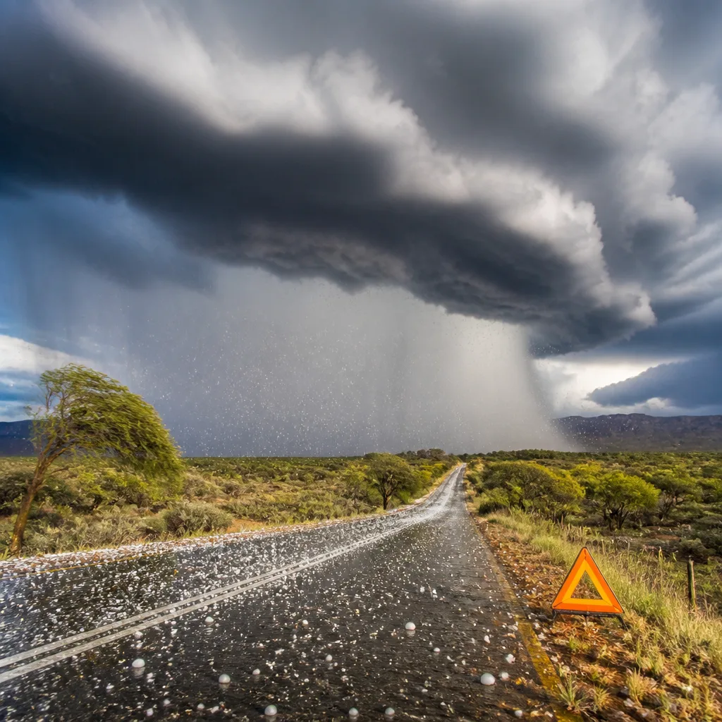
Act now: if you live in the north-eastern Northern Cape, the extreme west of the Free State, or in areas under yellow notices, prepare for sudden heavy rain, hail, excessive lightning and damaging winds. Secure loose items, avoid low-lying bridges and reduce travel unless necessary.
What the SAWS warnings say
The South African Weather Service (SAWS) has issued impact-based warnings for large parts of the country for Saturday. The most serious alert is an Orange Level 5 warning for the north-eastern Northern Cape and the extreme western Free State, where severe thunderstorms are expected with heavy downpours, damaging winds, excessive lightning and hail. SAWS says these conditions may lead to injuries, danger to life, flooding and motor-vehicle accidents because of slippery roads and reduced visibility.
Several regions are under Yellow Level 2 warnings:
- Western parts of the Free State, extreme western parts of the North West and central parts of the Northern Cape — severe thunderstorms with heavy downpours, damaging winds, excessive lightning and hail, with the potential for localised flooding.
- KwaZulu-Natal coast — disruptive rain in the morning that may cause localised flooding of settlements, roads and low-lying bridges and could interrupt power and communications.
- Northern Cape (except the south-east), western and northern parts of the Western Cape, and western parts of the North West — damaging winds that could cause localised damage to settlements and make driving difficult.
Who should take extra care
People in the Orange Level 5 area should be particularly vigilant. Heavy hail, intense lightning and strong winds can be life-threatening. Those in Yellow Level 2 areas must exercise caution: conditions are less extreme than orange alerts but still pose real risks to transport, local infrastructure and safety.
SAWS uses a colour-coded system: yellow indicates a moderate risk requiring caution and awareness, while orange indicates a higher-risk impact that requires increased attention and preparation.
Local temperatures and conditions
Most provinces will see a mix of cool to warm conditions, with cloud cover and scattered thunderstorms. SAWS gives the following expected temperatures for selected centres:
| City | Minimum (°C) | Maximum (°C) |
|---|---|---|
| Pretoria | 12 | 23 |
| Johannesburg | 9 | 21 |
| Vereeniging | 11 | 20 |
| Mbombela | 15 | 16 |
| Ermelo | 9 | 17 |
Practical safety advice
- Stay indoors during severe thunderstorms and avoid open areas. Lightning strikes can occur even if the storm seems distant.
- Secure loose items such as garden furniture, roof sheeting and signs that strong winds could lift or damage.
- Drive with extreme caution: reduce speed, increase following distance, and avoid flooded sections of road. Do not drive through moving water over a road.
- Avoid low-lying bridges and river crossings during heavy rain; localised flooding can rise quickly.
- Unplug sensitive electronics if there is lightning in your area to reduce the risk of surges.
- Monitor official updates from SAWS and local authorities for changing warnings and closure notices.
These measures are intended to reduce the risk of injury, property damage and disruption. Keep an eye on weather updates for your locality and follow directions from emergency services and municipal authorities if evacuations or road closures are advised.
The weather outlook covers large areas and conditions can change rapidly. If you are unsure whether a warning affects your neighbourhood, check the SAWS website or local municipal channels for the latest, area-specific information.












