
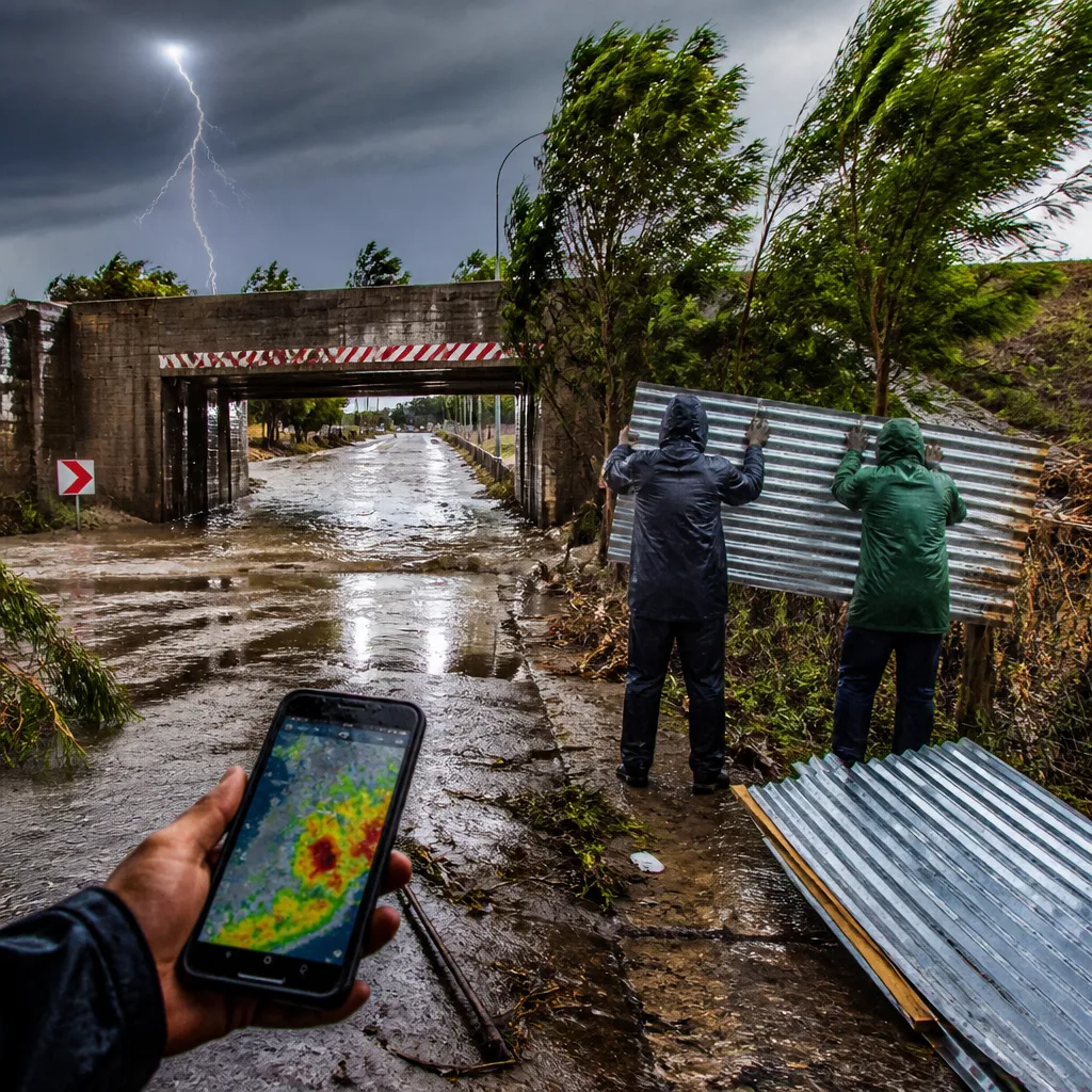
What you need to do now: keep mobile phones charged, avoid driving through flooded low‑lying roads, secure loose items outdoors and stay indoors during lightning and strong gusts. The South African Weather Service (SAWS) has issued an impact‑based Yellow Level 2 warning for severe thunderstorms affecting parts of Gauteng, KwaZulu‑Natal, Free State and the extreme eastern areas of North West.
Where the risk is highest and what it means
The warning covers southern and eastern KwaZulu‑Natal, southern and central Gauteng, eastern Free State and areas along the Lesotho border, as well as the extreme eastern portions of North West. SAWS classifies a Yellow Level 2 as a moderate risk of impacts — conditions that can cause localised damage and disruption. Expected hazards include strong thunderstorms with heavy downpours, damaging wind gusts, and the potential for flash flooding in susceptible locations.
- Likely impacts: localised damage to infrastructure and property, flooding of low‑lying roads and bridges, risk to livelihoods and livestock, and minor vehicle accidents.
- Who should be cautious: drivers, residents in informal settlements and low‑lying areas, and anyone with outdoor plans.
- Action advice: avoid travel on flood‑prone routes, move livestock to higher ground where possible, and postpone outdoor work during thunderstorms.
Provincial outlooks and temperatures
Beyond the warning zones, much of the country will see a mix of partly cloudy to cloudy conditions with isolated showers or thundershowers in places. Winds will be noticeable in several provinces and UVB levels remain elevated in exposed areas — take sun protection measures during clear spells.
| Province / City | Forecast | Daytime range |
|---|---|---|
| Gauteng (Pretoria, Johannesburg, Vereeniging) | Partly cloudy, windy; isolated showers and thundershowers | Pretoria: 13°C – 24°C Johannesburg: 10°C – 22°C Vereeniging: 13°C – 23°C |
| Mpumalanga (Mbombela, Ermelo) | Fine in the Lowveld; otherwise partly cloudy and windy with isolated showers | Mbombela: 14°C – 26°C Ermelo: 11°C – 23°C |
| Limpopo (Polokwane, Musina) | Fine to partly cloudy; warm to hot with isolated showers in the south | Polokwane: 13°C – 28°C Musina: 16°C – 33°C |
| North West (Klerksdorp, Potchefstroom) | Partly cloudy and windy; isolated showers and thundershowers | Klerksdorp: 11°C – 23°C Potchefstroom: 12°C – 23°C |
| Free State | Partly cloudy and windy with scattered showers and thundershowers | Varied; isolated in the south‑west |
Other regions such as the Western Cape and Northern Cape will see cooler, cloudier periods and a chance of light rain in places, while parts of Mpumalanga’s Lowveld should remain dry.
Safety notes and practical tips
During thunderstorms: stay indoors if possible and avoid open fields, tall isolated trees and metal structures. If caught in a vehicle, drive slowly and carefully — do not attempt to cross flooded roads. If you must be outside, seek shelter immediately when lightning is seen or thunder is heard.
For property and livestock: secure loose roof sheets, outdoor furniture and equipment. Move livestock and portable stock feeds to higher ground where feasible. Check gutters and drains to reduce the chance of localised ponding near buildings.
SAWS will update warnings as situations evolve. Monitor local media and official SAWS channels for changes to warning levels. Emergency services and municipal authorities will issue local advisories where necessary — follow their instructions promptly.
This advisory is intended to reduce harm from sudden severe weather and to help communities plan short‑term responses. Keep checking for updates and be prepared to change plans at short notice.












