
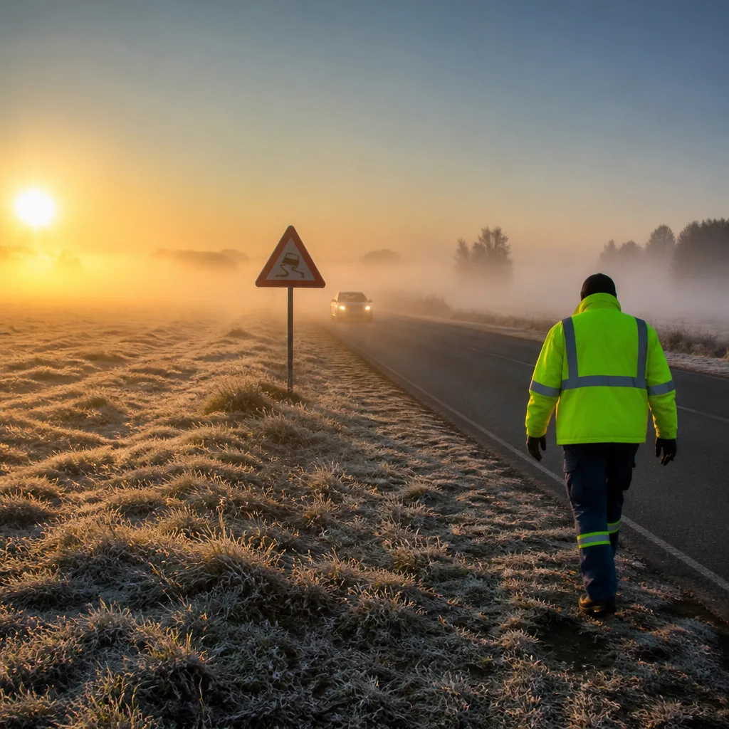
Drivers, outdoor workers and caregivers should take extra care this morning. The South African Weather Service (SAWS) forecasts patchy fog in several low-lying and coastal areas, with isolated frost on parts of the Highveld overnight into the early hours. Visibility reductions and slippery surfaces are the main hazards.
What to expect today
SAWS says large parts of the country will be dry and cool to warm during the day, but specific regions will see early-morning hazards that could affect travel and vulnerable people. Winds along many coasts will be light to moderate, and UV levels in some areas are expected to be high.
- Fog: Anticipated in lowveld and coastal pockets, especially in the eastern Lowveld, north-western Western Cape and parts of the Eastern Cape.
- Frost: Possible in places over the Highveld, particularly in parts of Mpumalanga and inland high ground.
- Temperature: General trend of cool mornings with daytime warming; some coastal areas will remain cooler into the afternoon.
- UV risk: Certain provinces are expected to record Very High UV levels during peak sunshine; sun protection is advised.
Province-by-province summary (SAWS brief)
The following distils the SAWS forecast for each province to help you plan travel and outdoor activities.
| Province | Key conditions | Notes |
|---|---|---|
| Gauteng | Fine and cool | UV Sunburn Index: Moderate |
| Mpumalanga | Morning frost in Highveld; fog in Lowveld | Otherwise fine and cool; warmer in the Lowveld |
| Limpopo | Fine, cool to warm | No significant hazards listed |
| North West | Fine, cool to warm | Typical Highveld mornings |
| Free State | Fine and cool | Clear, crisp mornings |
| Northern Cape | Fine, cool to warm; coastal fog patches | Light to moderate south-easterly winds along the coast |
| Western Cape | Cloudy with morning fog northwest; otherwise partly cloudy | Cool along south coast; late evening drizzle possible over the Peninsula |
| Eastern Cape | Western half: fog then fine and cool; Eastern half: fog then partly cloudy | Localised fog over interior at first |
| KwaZulu-Natal | Morning fog patches in the east; otherwise fine | UV Sunburn Index: Very High |
Safety and practical advice
The combination of fog and frost creates two common hazards: sharply reduced visibility and slippery roads or pavements. To reduce risk, SAWS guidance and standard safety practice recommend:
- Allow extra travel time; drive slowly and use dipped headlights in fog.
- Increase following distances and avoid sudden braking on frost-covered surfaces.
- For outdoor workers and the elderly, layer clothing to manage cold mornings and seek shelter if temperatures drop suddenly.
- Where UV is elevated, apply sunscreen, wear a hat and sunglasses during midday hours even if mornings are cool.
If you must travel at dawn, expect variable visibility on routes that cross low-lying river valleys, wetlands or coastal strips. Taxi and commuter services may also run slower where fog reduces sightlines.
Official outlook and where to get updates
Forecast information is provided by the South African Weather Service. For the latest warnings and hourly updates consult SAWS channels before travelling or planning outdoor events. Meteorological conditions can change quickly; local authorities will publish any impact-based warnings if the situation escalates.
Bottom line: Today begins with pockets of fog and isolated frost in parts of the country, but most areas will warm into a pleasant day. Take care on the roads at first light and protect against high UV in affected provinces.












