
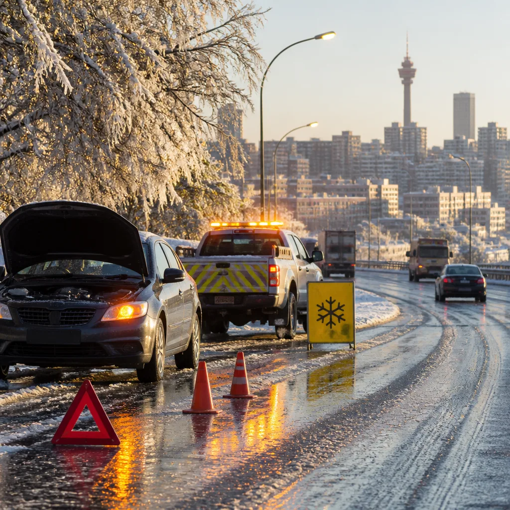
What you need to do now: if you must travel, reduce speed, leave extra distance between vehicles and expect longer journey times. Keep warm, check on vulnerable neighbours and avoid exposed high ground during the coldest hours.
Stationary cut‑off low causes cold snap across Gauteng
A rare cut‑off low pressure system that broke away from a frontal band and stalled over the interior has brought icy rain, strong winds and brief snow flurries to parts of Gauteng, including Johannesburg, forecasters reported. The system is expected to maintain colder‑than‑normal conditions over the coming days.
Gauteng Weather said Johannesburg recorded single‑digit overnight temperatures. The mercury was forecast to remain close to a low of 1°C before moderating to around 18°C later in the week. Pretoria has been slightly warmer, with lows near 3°C and highs approaching 20°C.
| Location | Expected low | Expected high |
|---|---|---|
| Johannesburg | 1°C | 18°C |
| Pretoria | 3°C | 20°C |
University of the Witwatersrand climatologist Professor Jennifer Fitchett said the cut‑off low originated from a cold front that moved across the Cape and South Coast before isolating and settling over the interior. She noted that while snowfall in Johannesburg is uncommon, the city's elevation makes it vulnerable when the right combination of cold air and moisture arrives.
“The city’s high altitude means temperatures can occasionally become cold enough for snow when the right weather system is present,” Fitchett said.
Roads hazardous — authorities urge caution
The Johannesburg Metropolitan Police Department cautioned motorists that persistent showers and freezing temperatures have left many routes damp and slick, increasing the risk of skids and reduced tyre grip. Officers have been deployed on major arterials and freeways to manage traffic flow and assist where needed.
“Wet roads significantly reduce tyre grip, increase stopping distances, and elevate the risk of skidding or hydroplaning,” JMPD spokesperson Xolani Fihla said.
Emergency services and traffic authorities emphasised practical steps drivers should take to reduce risk:
- Drive more slowly than the posted limit to maintain traction on wet surfaces.
- Keep a following gap of at least 3–4 seconds to allow safe braking distance.
- Use dipped headlights in heavy rain or low visibility and avoid sudden steering or braking manoeuvres.
- Check tyre condition and pressure before embarking on longer trips.
- Consider postponing non‑essential travel until conditions improve.
Commuters should also expect disruptions. Light snowfall and icy roads can slow traffic and affect public transport timetables. Motorists whose vehicles become stranded are advised to contact emergency services rather than attempting to walk long distances in cold, wet conditions.
Protecting health and property
Health services remind residents, especially the elderly and those with chronic conditions, to stay warm and dry. Hypothermia can develop quickly in exposed people, particularly when wet. Keep homes heated safely, avoid overloading electrical circuits and ensure adequate ventilation when using heaters.
Residents in higher‑lying suburbs and on open ridgelines should be wary of stronger gusts and banded rain that can lead to rapid declines in temperature and temporary accumulation of sleet or snow. Secure loose outdoor items and take care when clearing wet surfaces that may be slippery.
Forecasters said the cut‑off low is likely to persist for several days, so the cold snap may continue into the coming week. Monitor official updates from Gauteng Weather and local authorities for changes to warnings and for any emergency instructions.
Key safety reminder: prioritise safe travel and shelter, and check on vulnerable neighbours. If in doubt, postpone non‑essential journeys until roads and visibility improve.












