
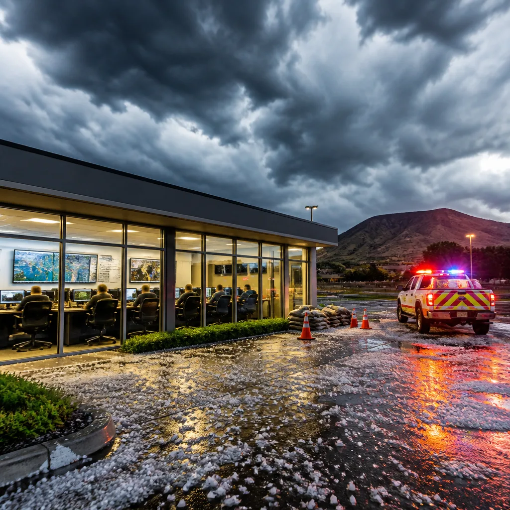
What to do now: stay updated via official SAWS and provincial disaster channels, avoid low‑lying and flood‑prone areas, do not drive through flooded roads, secure loose items outdoors and be cautious of lightning and hail during storms.
Province activates response as intense weather heads inland
The North West has been placed on high alert after the South African Weather Service (SAWS) warned of a developing weather system likely to produce severe thunderstorms, heavy rainfall, strong winds, hail and frequent lightning from Friday afternoon into Saturday evening. The North West Provincial Disaster Management Centre (PDMC) has activated monitoring and preparedness measures in coordination with district and local municipalities, emergency services and other stakeholders.
SAWS also signalled a broader pattern of unsettled conditions across the country, with advisories issued for very cold, wet and windy weather in parts of KwaZulu‑Natal, the Eastern Cape, the Western Cape and the Northern Cape. The agency said the severe thunderstorm threat could extend to the Free State and Gauteng as the system moves eastward over the weekend.
“Caution is advised in low-lying and flood-prone areas, near rivers and streams, and when travelling during periods of heavy rainfall and thunderstorms,”
— Tebogo Gaolaolwe, head of the North West PDMC, said the province would continue to monitor developments with municipal disaster teams and would activate appropriate response mechanisms should the situation warrant intervention.
Key risks and likely impacts
SAWS warned that the storms may produce the following hazards, which could arise suddenly and escalate local impacts:
- Heavy rainfall with potential for localised flooding in vulnerable and low‑lying areas;
- Strong, damaging winds that can bring down trees and damage structures or disrupt municipal services;
- Hail and frequent lightning posing direct danger to people, livestock and exposed infrastructure;
- Rapid temperature drops following the passage of the system, affecting vulnerable people, the elderly and animals.
The PDMC emphasised vigilance among communities, motorists and farmers. The agency specifically advised caution when travelling during heavy rain and thunderstorms, and urged people to keep away from rivers and streams that can rise quickly.
Where and when to expect the worst of the system
According to the PDMC and SAWS bulletins, the most intense conditions are expected to begin from Friday afternoon and persist into Saturday evening in parts of the North West. The severe thunderstorm risk is forecast to shift eastwards from Sunday morning, potentially affecting parts of Mpumalanga and KwaZulu‑Natal and possibly southern Limpopo.
| Period | Likely provinces affected |
|---|---|
| Friday afternoon – Saturday evening | North West (primary), parts of Free State, Gauteng |
| From Sunday morning | Mpumalanga, KwaZulu‑Natal, possibly southern Limpopo |
SAWS also maintained warnings for very cold, wet and windy weather across several coastal and interior provinces on Friday, which could increase travel disruptions and pose additional risks to those exposed to the cold.
Practical safety measures
To reduce risk during the warning period, emergency services and the PDMC recommend the following precautions:
- Secure or bring indoors loose items such as garden furniture, signage and roofing sheeting;
- Avoid standing under trees or open canopies during lightning; seek shelter in a substantial building or inside a vehicle with windows closed;
- Do not attempt to cross fast‑flowing or flooded roads — turn around, don’t drown;
- Farmers should move livestock to higher ground where possible and protect vulnerable stock from hail;
- Keep a battery‑powered radio or charged phone for official updates and emergency contact numbers.
The PDMC stated it would continue to coordinate with municipal disaster management teams and activate response measures if required. Residents are urged to monitor official SAWS warnings and local disaster notices as the situation develops.
Stay alert: conditions can change rapidly. Heed local authority instructions and prioritise safety when storms approach.












