
What to expect
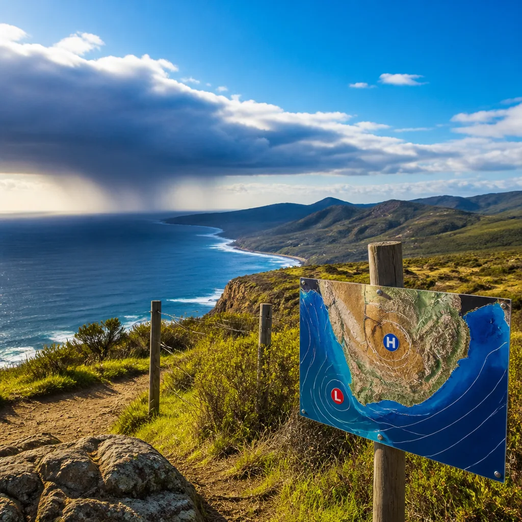
Most of the country will see mainly fine, warm to cool weather this week as a surface high-pressure system steers the flow, the South African Weather Service (SAWS) said on 17 August 2026. Residents in coastal areas should be ready for brief, isolated showers, while the western interior may see a developing surface low midweek that could change local conditions.
Key forecast details
SAWS highlighted several features that will influence weather through the week:
- Surface high pressure dominating much of the country, bringing mainly clear skies and mild daytime temperatures.
- Surface low expected to form over the western interior on Wednesday and Friday, which could locally increase cloud and the chance of showers.
- Cold fronts moving south of the country — these will not cross most interior areas but may produce isolated showers along the east and south coasts.
“However, a surface low is expected to develop over the western interior on Wednesday and Friday. Cold fronts are expected to pass south of the country, with isolated showers possible along the east and south coasts,” SAWS said.
Short-range outlook (selected notes)
SAWS issued specific notes for the start of the week:
- Monday, 17 August — generally fine and warm to cool across most provinces. The south-western parts will trend partly cloudy, with isolated showers possible along the west coast of the Western Cape.
- Tuesday, 18 August — partly cloudy conditions over southern areas; isolated showers may occur along the south-western coast of the Western Cape and the south coast of KwaZulu-Natal in the evening.
What this means for you
For most people the week will offer pleasant, largely dry weather suitable for outdoor activities, gardening and travel. However, keep these practical points in mind:
- Coastal commuters and holidaymakers should carry a light rain jacket or umbrella for brief, isolated showers and check local updates in case showers develop more widely.
- Those in the western interior and adjacent regions should follow midweek forecasts closely — the expected surface low could bring increased cloud, pockets of rain and slightly cooler conditions locally.
- Marine users and fishermen should monitor maritime forecasts issued by SAWS for any changes tied to the passing cold fronts south of the coast.
Practical safety tips
Even when broad conditions are fine, small-scale weather changes can catch people unprepared. To stay safe and comfortable:
- Check your local short-range SAWS forecast before setting out each morning.
- Wear layers: warm mornings and nights can follow warm daytime temperatures.
- If you are planning coastal activities, be alert to sudden wind increases and short-lived showers; avoid cliff edges and slippery rocks.
| Day | Main message |
|---|---|
| Monday 17-08-2026 | Fine and warm to cool; isolated west coast showers (Western Cape) |
| Tuesday 18-08-2026 | Partly cloudy in south; isolated evening showers on south-west Western Cape and south KZN coast |
| Wednesday–Friday | Surface low may form over western interior; cold fronts tracking south with isolated coastal showers |
Bottom line: Enjoy generally fine weather across most of South Africa this week, but keep a close eye on local forecasts if you are on the western interior or along the south and east coasts. A developing surface low midweek and cold fronts passing to the south could bring pockets of rain and wind to coastal areas.
For the latest warnings and more detailed, localised forecasts, consult the South African Weather Service updates and your local authorities before travel or outdoor plans.












