
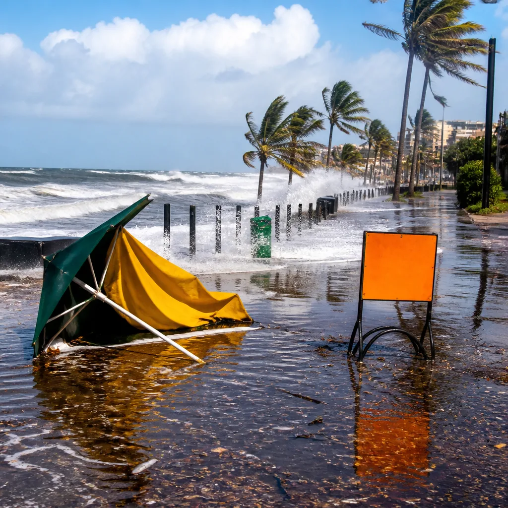
South Africans should prepare for widespread unsettled weather today as showers and thundershowers spread across large parts of the country. The greatest impacts are expected along the east coast, where the South African Weather Service has issued multiple warnings, including an Orange level 6 alert for the south coast of KwaZulu‑Natal.
What to expect this morning and through the day
Showery conditions and thunderstorms are moving through Gauteng, the Free State, Mpumalanga, North West and the Northern Cape. Coastal areas are also wet, with moderate rain in Durban and scattered showers around Gqeberha. The Western Cape and parts of the northern interior will see milder conditions, with Cape Town and Polokwane remaining partly cloudy; Cape Town will experience a fresh southeasterly wind.
Warnings and areas of concern
- Disruptive Rain warnings for parts of KwaZulu‑Natal including Ethekwini, KwaDukuza, Mandeni and Maphumulo (south coast and adjacent interior).
- Severe Thunderstorms warnings affecting portions of the Highveld and other inland areas.
- Damaging Winds warnings in isolated areas such as Grabouw and Garies.
"Orange level 6 warning: Disruptive rain resulting in flooding of roads and settlements (formal and informal), danger to life (fast flowing streams/ deep water), displacement of affected communities, loss of livelihood and livestock is expected along the south coast and adjacent interior of KwaZulu‑Natal until Friday."
The Orange level 6 alert signals a potential for serious disruption. Local flood-prone roads, low-lying settlements — including informal settlements — and fast-flowing streams may become hazardous. Communities in the affected strip of KwaZulu‑Natal should take extra precautions and follow municipal instructions if evacuations or road closures are announced.
Temperatures and regional highlights
Daytime temperatures will vary widely. The warmest reading noted in the current reports is 31°C in the North West, while Kimberley begins the day around 6°C. Gauteng cities like Johannesburg and Pretoria will see daytime highs in the mid to high 20s Celsius.
| City | Today (High / Low) | Notable condition |
|---|---|---|
| Johannesburg | 26°C / 9°C | Showers and thundershowers |
| Cape Town | 19°C / 12°C | Partly cloudy, brisk SE wind |
| Durban | — | Moderate rain expected |
Practical safety advice
- Avoid driving through flooded roads or across fast‑flowing water. Turn around rather than attempting to cross.
- Keep clear of riverbanks and stormwater channels during heavy rain; these can rise quickly.
- Secure loose outdoor items that could be damaged or become airborne in strong gusts.
- Residents in the Orange level 6 area should prepare for possible displacement and have emergency supplies ready (water, medication, essential documents and a battery torch).
- Monitor local municipal notices, SAWS updates and traffic reports for road closures and emergency instructions.
Daily forecasts across the next week vary by province. Gauteng will continue to see intermittent showers and thunderstorms over the coming days. The Western Cape is expected to remain relatively settled with cool to mild temperatures and a persistent south‑easterly breeze along the coast. KwaZulu‑Natal’s heavy rain threat is likely to persist into Friday according to the current alert.
Where possible, plan journeys to avoid heavily affected coastal routes and keep mobile devices charged for alerts. If you are in an affected area and require assistance, follow the contact guidance provided by your local municipality and emergency services.
Stay informed: check the South African Weather Service for any updates to warnings and statements through the day and heed instructions from municipal emergency management teams.












