
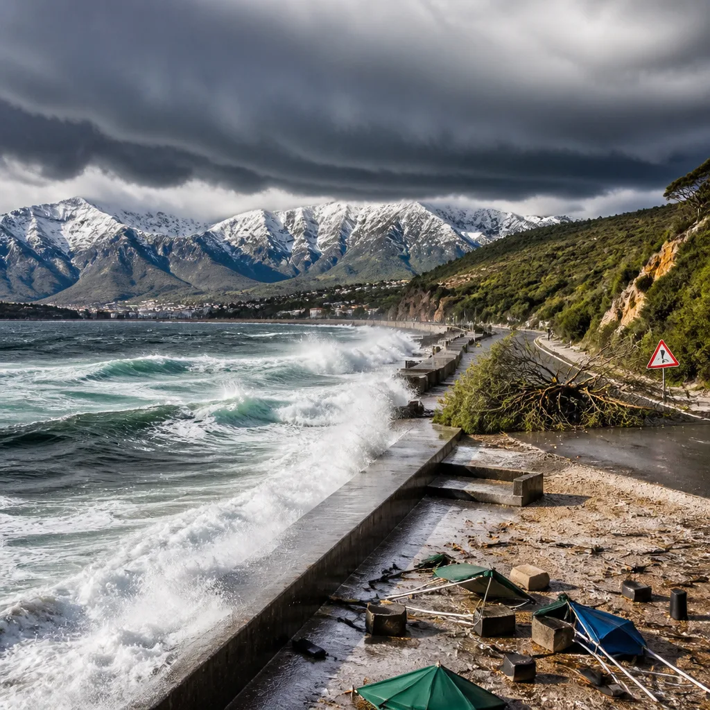
A strong cold front is expected to move across South Africa from Saturday through Monday, bringing widespread rain, strong and potentially damaging winds, hazardous seas and snowfall in mountainous areas, the South African Weather Service (SAWS) said. Residents on the south and west coasts, travellers using mountain passes and coastal communities should prepare for rapidly deteriorating conditions over the long weekend.
What to expect this weekend
On Saturday, much of the northern and interior regions will remain relatively warm, but cloudiness will increase along the south and west. Rain is likely along the south-west coast and will spread eastwards during the day. SAWS places the chance of rain at around 30% for Cape Town, rising to 80% along parts of the southern coastline.
Conditions are forecast to deteriorate markedly on Sunday as the cold front pushes inland. Rain will become more widespread across the Western Cape, Eastern Cape and southern interior, with the likelihood of heavy falls in some areas. Very cold air will spread inland and snowfall is expected over mountain regions in the southern parts of the country. Strong to damaging winds and rough seas are likely to accompany the system.
By Monday, SAWS expects cold, wet and windy conditions to dominate much of the country. Heavy rain will remain possible over parts of the south and east, with rain chances reaching about 80% in some coastal areas. Snow is likely to persist over mountain areas, and very cold temperatures are expected across large parts of the interior. Coastal districts should be ready for damaging waves and hazardous sea conditions.
Risks and safety advice
Forecasters warned the system could cause localized flooding of low-lying areas, roads, bridges and informal settlements. Strong winds may cause fallen trees, roof damage, power interruptions and difficult driving conditions, while snow over mountain passes could create hazardous travel and potential road closures. The SAWS has urged people to keep updated with official forecasts and warnings as the situation evolves.
- If you must travel: check road and pass conditions before departure, allow extra time, drive to conditions and expect slow-moving traffic on mountain routes.
- Coastal communities: avoid beaches and inspect moorings; keep clear of sea defences during high surf and large waves.
- Residents in low-lying or flood-prone areas: secure valuable items, move to higher ground if flooding is imminent and follow municipal instructions.
- Property and power safety: secure loose items that could be blown away, prepare for possible power interruptions and avoid standing beneath weakened trees.
People are advised to follow guidance from local authorities and SAWS bulletins, and to monitor media and official channels for updates on warnings and road closures.
Regional outlook at a glance
| Region | Saturday | Sunday | Monday |
|---|---|---|---|
| South-west coast (including Cape Town) | Cloud increasing; rain (30% in Cape Town) | Rain spreads; strong winds; higher rain chance (up to 80%) | Cold, wet and windy; heavy rain possible |
| Southern interior, Western & Eastern Cape | Becoming cloudy; showers | Widespread rain; snow over mountains; strong winds | Heavy rain likely in places; continued cold and snow in high ground |
| Other interior regions | Relatively warm, cloudy in places | Very cold air spreads inland; showers possible | Very cold across large parts; wet and windy in south/east |
The SAWS emphasised that the strength and path of the front could lead to locally severe impacts. People should not rely on a single forecast snapshot — conditions can change rapidly. Follow updates from the South African Weather Service and heed local municipal and emergency-service advice.












