
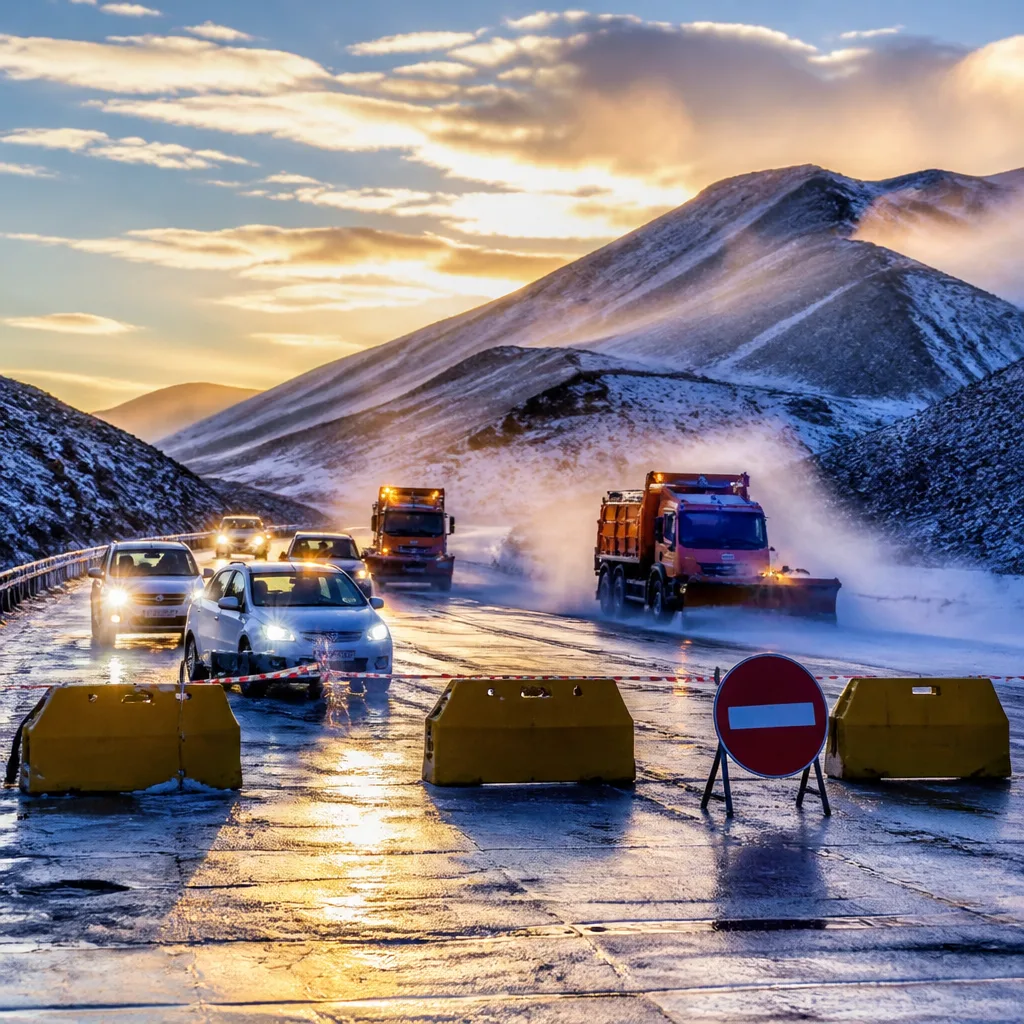
What you need to do now: Avoid non-essential travel on mountain passes, check SANRAL and N3TC updates before departing, allow extra time if driving, and take measures to keep vulnerable people and livestock warm and sheltered. If you are in low-lying or flood-prone areas, move to higher ground and follow municipal instructions.
Cold system pushes temperatures to near‑freezing, brings widespread snow and hazardous roads
A strong cold front, interacting with an upper‑air cut‑off low, has plunged large parts of South Africa into bitterly cold, wet and windy conditions, with snowfall reported in the Eastern Cape, KwaZulu‑Natal and other high‑lying areas, the South African Weather Service said.
Johannesburg woke to a wet, freezing morning as rain fell across the city and temperatures struggled to rise: the Weather Service forecast a maximum of just 4°C for the city on Tuesday. Pretoria was expected to reach only 8°C. Snow blanketed mountain areas in the Eastern Cape and spread into the mountainous regions of KwaZulu‑Natal, while strong winds and rain affected broad swathes of the interior.
The Weather Service had issued warnings ahead of the system, noting risks of flooding in low‑lying areas, damaging winds able to bring down trees and roofs, rough seas along exposed coasts, exposure risk for vulnerable communities and livestock, and hazardous travel where snow accumulates on mountain passes. The agency said the worst of the system was over and that conditions should begin to ease from Wednesday.
- Snow and travel: Several mountain passes were affected by snow. SANRAL warned motorists of possible closures on the N2 around Kokstad and on the N3 Van Reenen Pass amid heavy snowfall. N3TC reported snowfall, rain and reduced visibility on sections of the N3.
- Warnings and impacts: The Eastern Cape bore the brunt of snowfall and the Weather Service issued an Orange Level 6 warning for disruptive snowfall in parts of the province.
- Temperatures: Johannesburg forecast maximum 4°C; Pretoria forecast maximum 8°C.
Senior forecasters explained the event was caused not by an unusual single feature but by the combination and positioning of the cold front and the cut‑off low, which amplified impacts such as deeper cold, heavier precipitation and stronger winds across exposed areas.
| Location | Reported impact |
|---|---|
| Eastern Cape | Widespread snowfall; Orange Level 6 warning; mountain passes affected |
| KwaZulu‑Natal | Snow in mountainous areas; heavy rain and strong winds |
| Gauteng | Johannesburg very cold and wet; max around 4°C; hazardous travel in places |
| N3 and N2 routes | Possible road closures, reduced visibility, snow on passes (N3 Van Reenen, N2 around Kokstad) |
What to expect next and safety advice
The Weather Service said conditions should gradually improve from Wednesday, but pockets of wet, cold and windy weather may linger in affected regions. Residents and travellers should remain cautious while roads and infrastructure recover. Practical steps to reduce risk include:
- Checking SANRAL and N3TC real‑time road updates before travel and heeding any closures or diversion notices;
- Avoiding overnight exposure for infants, the elderly and animals; securing shelters and providing extra feed and water for livestock;
- Preparing for localised flooding in low‑lying areas by moving belongings to higher ground and following municipal emergency advice;
- Being mindful of potential falling trees and loose roofing in strong winds; avoid standing under weakened trees and report downed lines to authorities.
Authorities and road agencies are monitoring the situation and issuing route‑specific notices. Motorists should carry warm clothing, blankets and emergency supplies if travel is unavoidable, slow down in reduced‑visibility or icy conditions, and keep an eye on weather updates from the South African Weather Service.
The current event underlines how interacting large‑scale systems — a surface cold front and an upper‑air cut‑off low — can together intensify impacts even when each feature on its own would not be extraordinary, meteorologists said. The public is advised to stay alert to any further warnings and to follow official safety instructions until conditions have fully stabilised.












