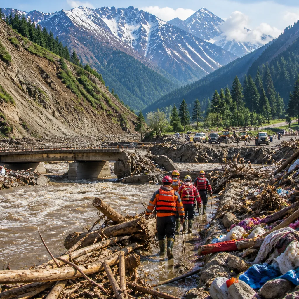
A massive rock‑ice avalanche that plunged into the Chhochen Khola on August 26 sparked a cascading flood of water, mud and debris that devastated downstream valleys and international border crossings, underlining the limits of current early‑warning and preparedness systems for Himalayan hazards.
The event — widely described in reporting as a “mountain tsunami” — caused catastrophic human and economic losses in Nepal and parts of China and led to heightened alert in India’s border districts, deployment of National Disaster Response Force teams and requests for communities in lowland areas to move to safer ground.
Scale of the disaster
Scientific assessments and satellite imagery referenced in reporting indicate a rock‑ice collapse into the Chhochen Khola that cascaded into the Lhende Khola and further downstream. The disaster has been linked to widespread loss of life and infrastructure: reporting cites more than 1,400 people dead and about 6,000 people affected in Nepal, while China has reported over 40 fatalities and more than 50 missing. Floods and monsoon impacts elsewhere in South Asia continue: as of September 27, at least 56 people had died in monsoon‑driven flooding in India and 14 more in Nepal. Pakistan’s disaster agency has recorded 199 deaths linked to intense rainfall since June 26.
The recent events were described as a "mountain tsunami" in reporting, a phrase that has come to denote the sudden, high‑energy nature of such Himalayan collapse‑triggered floods.
Beyond loss of life, reporting indicates severe material and ecological damage: fertile tracts of the Trishuli valley were washed away, millions of tonnes of carbon credits were reportedly destroyed, and economic damages were said to run into the billions of dollars. The flood also obliterated the Gyirong Port — the principal border crossing between Nepal and China for people and trade — interrupting cross‑border movement and commerce.
Implications for India
Districts along the India–Nepal frontier were placed on heightened alert after the event. Several rivers that flow into Indian territory, including the Ganga, Gandak, Kosi, Budhi Gandaki and Bagmati, were reported above danger levels at various locations. Bihar, already dealing with widespread flooding this monsoon, saw intensified concerns about downstream inundation and river management.
National agencies were mobilised; NDRF teams were deployed to assist search, rescue and relief. The incident has also prompted renewed scrutiny of cross‑border hazard monitoring and the capacity of regional systems to convert Earth observation data into early warnings and actionable evacuation plans.
From observation to preparedness
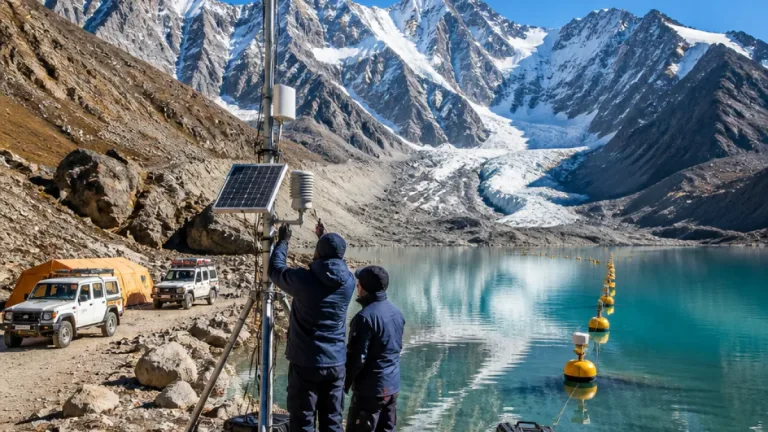
Analysts cited in reporting argue that the disaster highlights a mismatch between the growing availability of satellite and other observational data for the Hindu Kush Himalaya region and the region’s ability to deploy timely, locally relevant preparedness measures. While Earth observation provides critical retrospective and near‑real‑time evidence of slope failure and avalanche dynamics, the August 26 event demonstrates how some hazards remain difficult to anticipate with sufficient lead time for evacuation.
The catastrophe reinforces calls for strengthened regional cooperation on hazard mapping, real‑time monitoring, data sharing and integrated early‑warning systems that link remote sensing, ground observations and community response plans.
- Immediate needs: bolster evacuation protocols, pre‑position search and rescue resources, and restore cross‑border connectivity where possible.
- Medium term: invest in joint Himalayan monitoring networks, run cross‑border drills and formalise data‑sharing agreements.
- Long term: integrate climate‑change projections into land‑use planning and infrastructure design in vulnerable valleys.
For India, the event is a reminder that Himalayan hazards can have transboundary consequences — for lives, livelihoods and trade — and that converting observational science into operational regional preparedness must be a policy priority if recurrence of similar disasters is to be reduced.
| Country/Region | Reported fatalities | Notes |
|---|---|---|
| Nepal | More than 1,400 | Major losses in Trishuli valley; valleys and farmland washed away |
| China | Over 40 | Gyirong Port heavily damaged; over 50 missing reported |
| India | At least 56 | Monsoon‑driven flooding across several states; Bihar notably affected |
| Pakistan | 199 | Deaths recorded since heavy rains began on June 26 |
As rescue and relief efforts continue, authorities in the region face the twin tasks of restoring critical lifelines and building resilient, cooperative systems that can translate Earth observation into timely warnings and community‑level preparedness.