
The southwest monsoon’s renewed activity has once again laid bare the vulnerability of India’s mountain regions to landslides, with roadblocks, rail disruptions and isolated communities reported from Uttarakhand and Himachal Pradesh to the Mumbai–Pune corridor. Despite decades of scientific studies and government hazard maps, the scale and frequency of landslides suggest that development pressures and weak enforcement continue to outpace mitigation efforts.
Monsoon impacts despite below‑normal rains
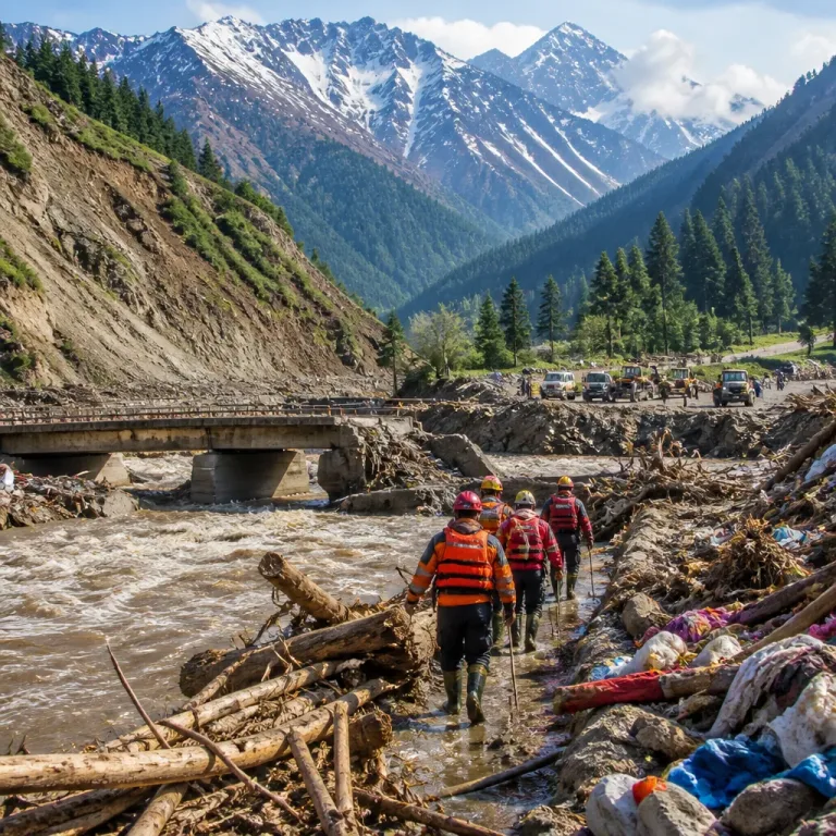
Officials and media reports note that the first spell of heavy rain washed away roads, disrupted rail services on the Mumbai–Pune route and blocked more than 126 roads in Uttarakhand, even as the India Meteorological Department (IMD) recorded that nationwide rainfall has been about 30 per cent below normal so far this season owing to the El Niño‑linked circulation anomalies.
On 12 July, heavy rainfall in parts of Uttarakhand triggered multiple landslides and led the IMD to issue a red alert for affected districts, underscoring how short, intense events can produce outsized damage in fragile mountain terrain.
| Statistic | Detail |
|---|---|
| Roads blocked in Uttarakhand | 126 |
| Nationwide rainfall departure (season to date) | ~30% below normal |
| Significant date | 12 July (IMD red alert) |
Warning signals vs. on‑ground practice
Over more than a decade, scientific studies, hazard maps and disaster management policies have repeatedly flagged the fragility of India’s mountain ecosystems. Yet landslides continue to increase each monsoon, with roads repeatedly blocked, villages cut off and infrastructure damaged. Analysts cited in reportage argue that while governments routinely attribute damage to heavy rainfall and climate change, structural drivers such as deforestation, indiscriminate hill cutting and unplanned road expansion are central to the rising hazard.
- Infrastructure expansion: Road widening and new alignments in steep terrain can destabilise slopes when not accompanied by adequate engineering safeguards.
- Vegetation loss: Removal of forest cover reduces slope stability and increases runoff during intense rains.
- Enforcement gaps: Weak implementation of environmental clearances and local planning norms allows risky construction to persist.
Experts and observers emphasise that new forecasting technologies and policy pronouncements remain important but insufficient on their own. The reporting points to a need for tougher regulation of construction activity in hill areas, stronger protection for fragile ecosystems and political will to prioritise preventive measures ahead of post‑disaster relief.
Consequences and measures
The immediate consequences of recurring landslides are tangible: disrupted supply chains, interrupted rail and road connectivity on strategic corridors like Bhor Ghat between Mumbai and Pune, and communities cut off from essential services. Over time, repeated slope failure can lead to permanent destabilisation of habitats and higher economic costs for repair and reconstruction.
Suggested approaches emerging from the coverage include stricter land‑use control in high‑hazard zones, mandatory slope‑stabilisation engineering for road projects, restoration and conservation of mountain forests, and greater investment in community‑level early warning and evacuation planning. Authorities are also urged to integrate hazard maps into every stage of project approval and to strengthen local capacity for enforcement.
As the southwest monsoon progresses, the pattern of short, intense rainfall events — even in a season tracking below average totals nationally — highlights the interaction between climate variability and local land‑use practices in producing disasters. The challenge for policymakers and planners will be to translate long‑standing scientific warnings into consistent, enforceable action that reduces exposure rather than relying on post‑event relief.