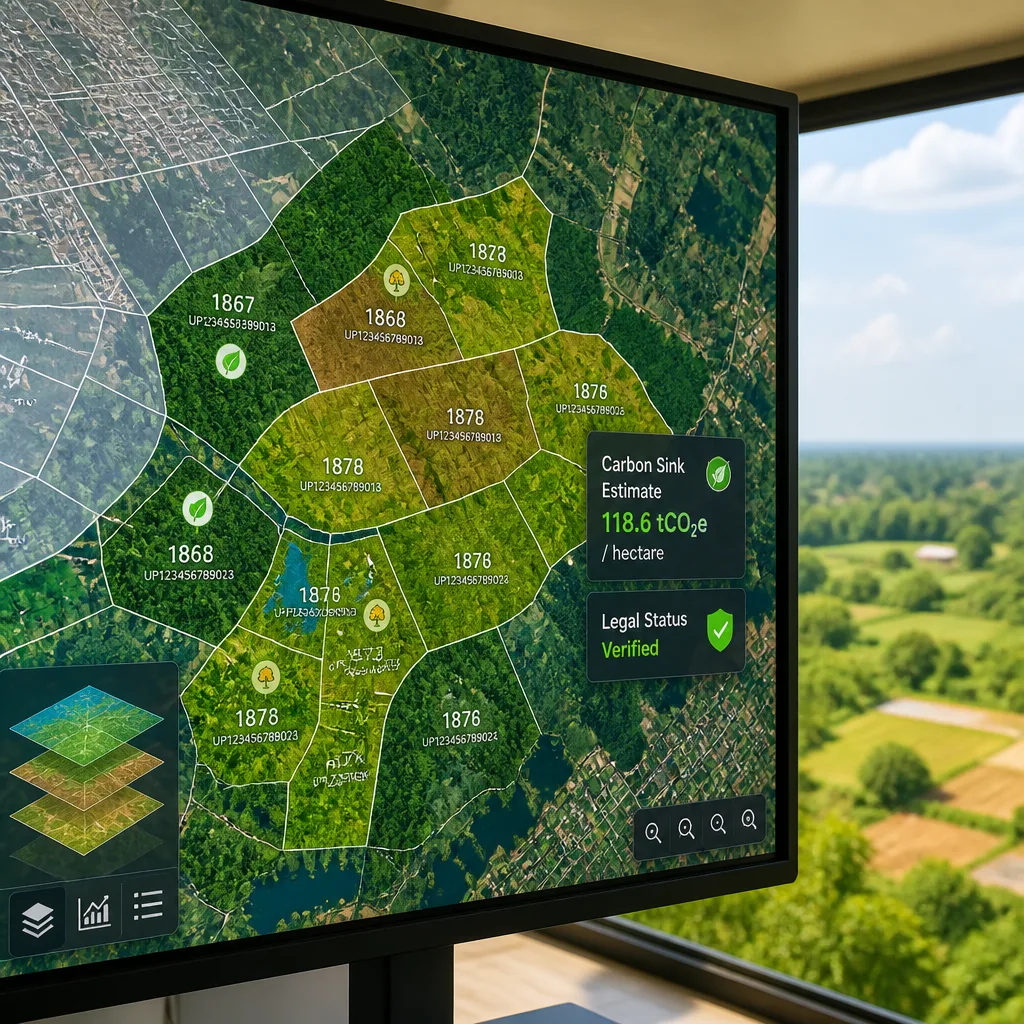
India has made rapid strides in digitising land administration but now faces a tougher task: creating reliable digital public infrastructure that can represent the multiple, often conflicting, ways a single landscape is described and used. The move is central to the country’s climate and nature ambitions, including its pledge to create a large carbon sink by 2035 and the roll-out of offset mechanisms.
Progress in land digitisation
According to government figures cited in a recent analysis, cadastral maps have been digitised for 97.37 per cent of the country. More than 36 crore land parcels across 29 States and Union Territories have been issued Unique Land Parcel Identification Numbers (ULPIN). This foundation of shared standards and connected records has already strengthened identity, payment and service delivery systems at scale, and supporters argue it can do the same for natural assets.
| Metric | Figure |
|---|---|
| Cadastral maps digitised | 97.37% |
| Land parcels with ULPIN | 36 crore+ |
| States/UTs covered | 29 |
Why nature is harder to digitise
Unlike an identity or a payment record, a patch of land can legitimately carry several descriptions at once. Revenue registers may classify it as agricultural; satellite imagery may show dense tree cover; a restoration programme may mark it as degraded; and communities may treat it as common grazing. These overlapping legal, ecological and livelihood layers pose a practical challenge: digital systems must make them visible and comparable so that policy, enforcement and incentives work from the same set of facts.
- Multiple valid classifications: law, ecology, administration and livelihoods can record different facts about the same parcel.
- Policy dependence on maps: India’s climate and nature commitments rely on accurate mapping and measurement.
- Markets and money: carbon markets and offset mechanisms require verifiable, interoperable data.
Link to climate targets and carbon market
The urgency of the challenge is underscored by India’s Nationally Determined Contribution (NDC) for 2031–35, filed in April 2026. The NDC commits India to creating a carbon sink of 3.5–4 billion tonnes of CO2 equivalent by 2035, measured against the 2005 baseline. Implementing and accounting for such a large sink will depend heavily on consistent, auditable records that can reconcile ecological change with land tenure and use.
At the same time, the country’s carbon market is moving into active implementation. Approved offset methodologies already include:
- afforestation and reforestation of degraded mangrove habitats,
- afforestation and reforestation on lands other than wetlands, and
- improved rice cultivation.
The Bureau of Energy Efficiency (BEE) has opened registration for entities seeking to earn voluntary carbon credits, signalling early market activity. Accurate digital records will be essential for issuing credits, preventing double-counting and ensuring that credits represent genuine removals or avoided emissions.
Practical implications and next steps
Designing digital public infrastructure for nature will require several practical steps. Systems must be able to synthesise layers from revenue, forestry, remote sensing, restoration programmes and common-property records. Shared standards and interoperable formats will make it easier to cross-check claims, resolve disputes and link finance to verified outcomes. Equally important will be governance mechanisms to decide which classification should prevail when legal, ecological and social claims conflict.
While digitisation has proven value in administrative domains, translating that success to ecosystems is not simply a technical exercise. It is a policy challenge that sits at the intersection of ecology, law and livelihoods, and it will shape how India meets its sink target and how credible its emerging carbon instruments become.
Building such infrastructure offers benefits beyond markets: clearer maps and records can improve planning, reduce fraudulent claims, and help direct restoration investments where they deliver the greatest climate and community returns. The task now is to craft systems that reflect the complexity of landscapes while remaining transparent and auditable.