The India Meteorological Department (IMD) on Saturday forecast rainfall for Mumbai, Odisha and several eastern states on August 29, even as the national capital is expected to become warmer with maximum temperatures rising to 35–37°C.
Low-pressure area to form over northwest Bay of Bengal
The IMD said a low-pressure area is likely to develop over the northwest Bay of Bengal and adjoining West Bengal–north Odisha coasts around August 29. The system is expected to produce widespread rainfall over Odisha and neighbouring eastern states, and bring rain to parts of central India and the Konkan coast, including Mumbai.
According to the IMD, the monsoon remains active over eastern, central and western regions. The agency has indicated that rain is likely to continue over the Konkan and Goa region through September 3, with isolated to scattered rainfall elsewhere in western India.
City-wise expectations and hazards
The IMD gave specific forecasts and cautions for several urban centres:
- Delhi: Partly cloudy skies are expected with daytime highs around 35–37°C and night lows of 25–27°C. Maximum temperatures are likely to remain above normal by about 1.6°C–3°C. Westerly winds may reach up to 20 kmph in the morning, easing later.
- Mumbai and Konkan–Goa: Fairly widespread to widespread rainfall is likely on August 29, with the IMD projecting this pattern to persist until September 3. Isolated to scattered rain is also forecast for Madhya Maharashtra, Marathwada and Gujarat during the same period.
- Odisha and Gangetic West Bengal: Widespread to fairly widespread rainfall is expected, with the IMD warning of isolated heavy rainfall over Gangetic West Bengal on August 28–29 and an additional spell of heavy rain possible from August 31 to September 1.
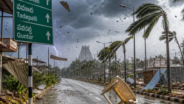
- South Interior Karnataka (including Bengaluru): Isolated to scattered rainfall with thunderstorms, lightning and gusty winds is likely. The IMD warned of strong surface winds of 30–40 kmph, gusting up to 50 kmph during August 28–29.
The agency has also highlighted the possibility of strong surface winds in areas of South Interior Karnataka and gusty conditions along parts of the eastern coast accompanying the low-pressure area.
Practical precautions
The IMD advisories imply the following precautionary steps for affected regions:
- Residents in coastal Konkan, Goa, Odisha and Gangetic West Bengal should be alert to heavy, potentially localised rainfall and possible waterlogging; avoid low-lying areas during peak rain.
- People in regions expecting gusty winds (South Interior Karnataka and parts of the east) should secure loose objects, avoid sheltering under trees during thunderstorms and exercise caution while driving.
- In Delhi and other urban centres where heat is expected to be above normal, avoid prolonged outdoor activity during afternoon hours, stay hydrated and check on vulnerable groups such as the elderly and outdoor workers.
| City/Region | Forecast (Aug 29) |
|---|---|
| Delhi | Partly cloudy; 35–37°C max, 25–27°C min |
| Mumbai / Konkan–Goa | Fairly widespread to widespread rain; continues through Sept 3 |
| Odisha / Gangetic West Bengal | Widespread rainfall; isolated heavy rain over Gangetic West Bengal |
| South Interior Karnataka | Isolated to scattered rain; thunderstorms, lightning; winds 30–40 kmph, gusts to 50 kmph |
The IMD forecast underlines that the monsoon’s active phases will continue to produce regionally varying hazards — heavy rain and gusty winds in eastern and coastal belts and above-normal temperatures in parts of north India.
Citizens and local authorities are advised to follow further bulletins from the IMD for updates on the low-pressure area and any subsequent warnings. Those travelling should monitor local weather advisories and allow extra time for journeys in areas expecting heavy rainfall or strong winds.
Data and forecasts in this report are from the India Meteorological Department.