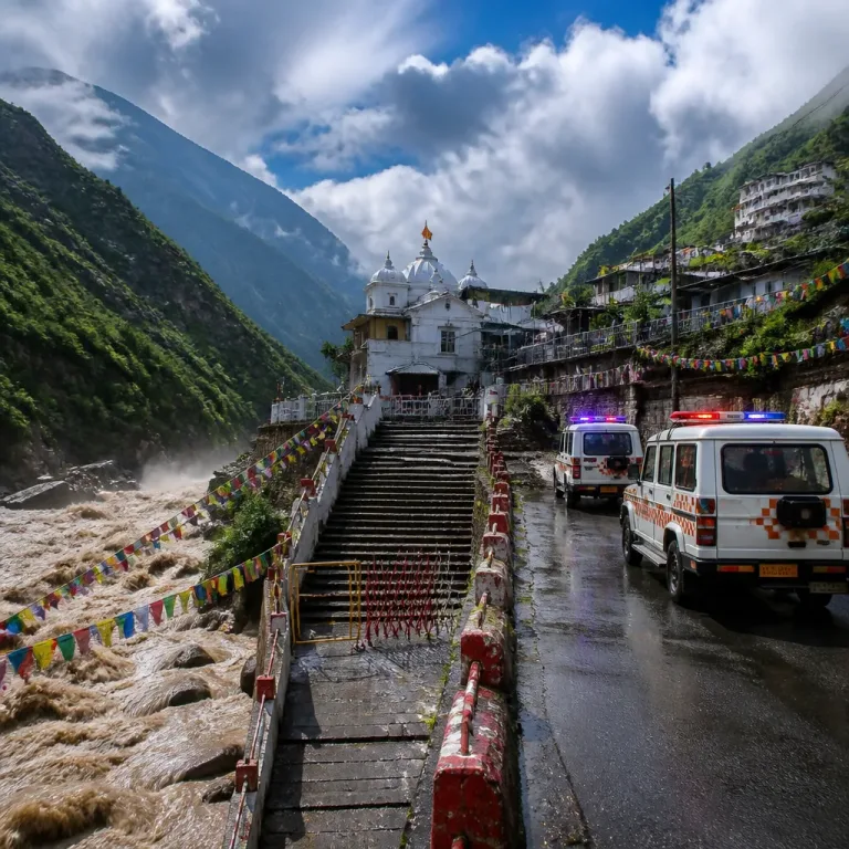
Bhubaneswar: Chief Minister Mohan Charan Majhi on Sunday began an aerial survey of rain-battered areas in southern Odisha as rivers surged and low-lying villages were flooded following intense rainfall linked to a deep depression over the Bay of Bengal. State authorities have moved large numbers of people to safety and continue managed releases from major reservoirs.
Scale of displacement and immediate response
Officials said more than 70,000 people were evacuated from vulnerable locations and accommodated in 395 relief camps by Saturday. The chief minister planned to review the situation along with Revenue and Disaster Management Minister Suresh Pujari and the state's Special Relief Commissioner Rajesh Prabhakar Patil.
The survey route included flood-affected pockets of Ganjam, Koraput and Nabarangpur, where rivers were reported to be flowing in spate and inundating villages. The CM's helicopter experienced a technical snag that delayed the aerial survey by around two hours, officials said, but the inspection and subsequent review visits proceeded after the issue was resolved.
Reservoir management and river levels
At Hirakud Dam, additional water entering the reservoir prompted authorities to open two more sluice gates on Sunday. A total of 22 gates are now discharging water. The reservoir level stood at 628.29 ft against the full reservoir level of 630 ft, according to officials.
Coastal and northern districts also recorded critical river behaviour. In Balasore, three major rivers were flowing above danger levels. The Subarnarekha River was measured at 11.68 metres at Jaleswar's Rajghat at 6 am, above the danger mark of 10.36 metres, resulting in flooding of villages in Bhograi, Jaleswar, Baliapal and Basta blocks. Smaller rivers such as the Kansabansa, Soa and Gangahar were likewise in spate in parts of the district.
Geographic spread
The heavy rainfall and ensuing flooding have affected 13 districts across the state: Balasore, Bhadrak, Jajpur, Mayurbhanj, Kalahandi, Koraput, Nabarangpur, Malkangiri, Keonjhar, Nayagarh, Kandhamal, Bolangir and Jagatsinghpur, officials said.
| District / Area | Reported issue |
|---|---|
| Balasore | Three major rivers above danger level; flooding in multiple blocks |
| Ganjam, Koraput, Nabarangpur | Inundation of villages; aerial survey and on-ground review planned |
| Hirakud Reservoir (near Sambalpur) | 22 sluice gates discharging; level at 628.29 ft (FRL 630 ft) |
Administration and relief operations
Local authorities have been mobilised to move people from low-lying and flood-prone habitations to relief centres. The chief minister's itinerary included landing at Jeypore in Koraput district to hold a review meeting, followed by further field visits to evaluate damage and relief needs.
Officials emphasised coordination between district administrations, the Special Relief Commissioner’s office and the disaster management department to ensure food, shelter and medical aid reach those moved to camps. Rescue teams have been kept on standby for riverine evacuations where road access has been cut off.
Precautions for residents and travellers
- Residents in low-lying areas are advised to relocate to designated relief camps immediately when asked by local authorities.
- Avoid crossing flooded roads or attempting to travel through waterlogged stretches; elect to wait for rescue teams rather than risk wading through fast-flowing water.
- Keep essential medicines, identity documents, drinking water and sanitary supplies ready in a quick-access bag.
- Follow updates from district administration, the Special Relief Commissioner and the India Meteorological Department on changing river levels and dam releases.
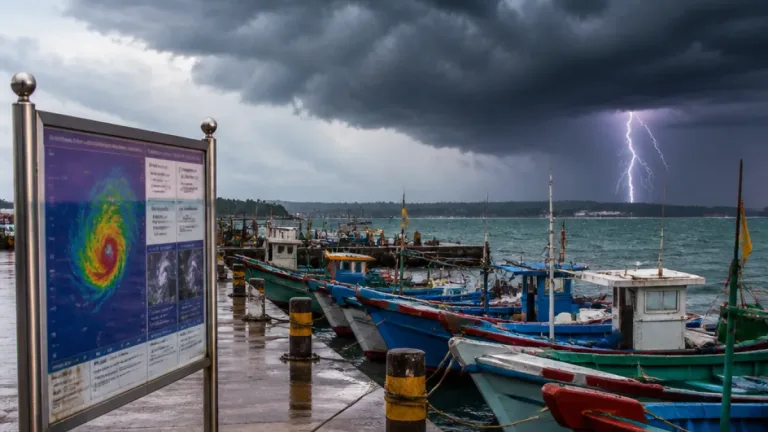
As the state deals with the immediate humanitarian and infrastructure challenges, officials continued to monitor downstream impacts of reservoir discharge and river swellings. The deep depression over the Bay of Bengal that brought heavy rainfall remains the principal driver of the floods, and authorities warned of continued vigilance until river levels recede and rainfall eases.
Residents are urged to cooperate with relief teams and adhere to official advisories to minimise risk and facilitate timely assistance.