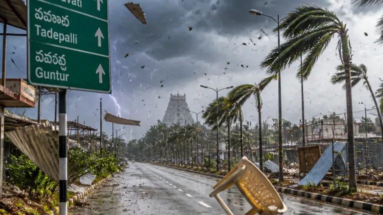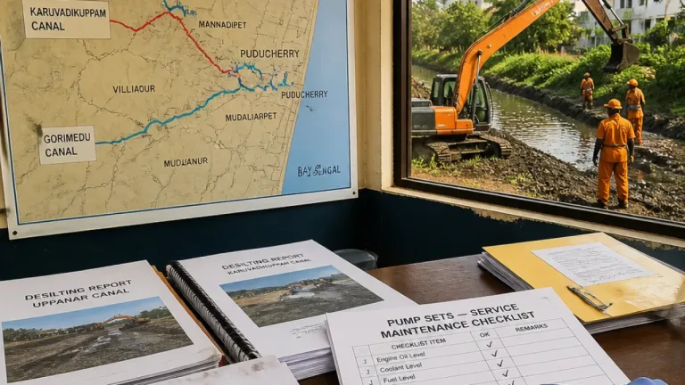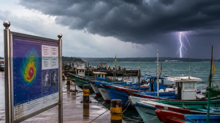
New Delhi: The India Meteorological Department (IMD) on Wednesday issued widespread warnings as a deep depression over the Bay of Bengal is forecast to make landfall close to Kalingapatnam and track inland on Thursday, bringing heavy to very heavy rainfall along with squally winds and thundersqualls across several states.
Where and when the system will affect land areas
According to the IMD, the system was centred over the west-central and adjoining northwest Bay of Bengal early on Wednesday morning, about 60 km southeast of Kalingapatnam in Andhra Pradesh. It was expected to cross the north Andhra Pradesh–south Odisha coast near Kalingapatnam by Wednesday night as a deep depression and move inland on Thursday, increasing the risk of intense rain and gusty winds over adjoining interior districts.
Major impacts and state-wise outlook
The weather office has said the strongest rains will be concentrated over parts of east and central India, while other regions in the south and northeast should prepare for heavy but more isolated downpours.
- Heavy to very heavy rainfall (widespread): Chhattisgarh, Coastal Andhra Pradesh, Odisha and Telangana.
- Heavy to very heavy rainfall (widespread to widespread/isolated pockets): Bihar, Jharkhand, West Bengal & Sikkim.
- Heavy rainfall in isolated places: Andaman & Nicobar Islands, Assam & Meghalaya, parts of Madhya Pradesh, East Uttar Pradesh, Karnataka and Kerala.
- Thunderstorm and squally winds: Chhattisgarh, Andhra Pradesh, Odisha and Telangana — with locally high wind speeds.
The IMD has cautioned that thundersqualls with sustained winds of 50–60 kmph, gusting up to 70 kmph, are likely over Chhattisgarh, Coastal Andhra Pradesh, Odisha and Telangana. Additionally, thunderstorms accompanied by lightning and gusty winds of 40–50 kmph are possible over the Andaman & Nicobar Islands, Bihar, Gangetic West Bengal, Jharkhand, Konkan & Goa, Maharashtra and Rayalaseema.
Warnings, watches and local consequences
The IMD classification implies that areas listed for heavy to very heavy rain should treat the guidance as an active warning rather than a mere watch: significant rainfall in short durations can cause flash floods, inundation of low-lying urban and rural areas, disruption of road and rail services, and elevated river levels in smaller catchments.
| Region / States | Expected hazard |
|---|---|
| Coastal Andhra Pradesh, Odisha | Landfall of deep depression; heavy to very heavy rain; squally winds |
| Chhattisgarh, Telangana | Very heavy rain in places; thundersqualls with gusts |
| Bihar, Jharkhand, West Bengal & Sikkim | Heavy to very heavy showers; thunderstorms |
Precautionary measures advised
As the system moves inland, the IMD and state disaster agencies have urged residents and local authorities to take precautions. Practical steps recommended for those in affected districts include:
- Avoid non-essential travel during heavy rain and squalls; expect disruption to road and rail services.
- Secure loose outdoor objects and stay away from coastal areas during squally conditions and high waves.
- Keep emergency kits ready — torch, battery power banks, essential medicines and drinking water.
- Follow local government and district administration advisories on evacuations in low-lying or flood-prone zones.
- Do not take shelter under trees during thunderstorms; avoid open fields and metal structures.
State authorities in coastal Andhra Pradesh and Odisha typically pre-position rescue teams and open shelters ahead of landfall; residents in vulnerable taluks and blocks are advised to monitor announcements from district officials and the IMD updates.
Monsoon withdrawal status
Meanwhile, the IMD noted that the southwest monsoon continued its seasonal withdrawal on Wednesday, withdrawing from much of Punjab, Haryana, Rajasthan and parts of Uttar Pradesh and Gujarat. The monsoon has also officially withdrawn from the national capital region, signalling the usual transition as the season ends in the northwest while residual systems continue to bring rain to the eastern and southern belts.
The situation remains fluid: the IMD will issue further bulletins with updated track, intensity and local warning information. People in the forecast path should keep tuned to regular updates from the IMD and state disaster management authorities and act promptly on official instructions.
Priya Venkatesan, Weather Desk