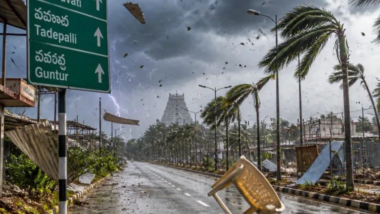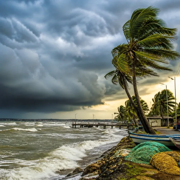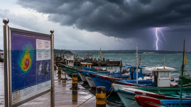
Amaravati, Sep 22: The India Meteorological Department (IMD) on Tuesday said a depression over the west-central and adjoining northwest Bay of Bengal had intensified into a deep depression and was moving west-northwestwards towards the north Andhra Pradesh–south Odisha coast. The system is likely to cross the coast between Visakhapatnam and Gopalpur on the night of September 23 as a deep depression, the IMD said in its bulletin.
Current position and motion
At 5.30 pm on Tuesday the system was centred over the west-central and adjoining northwest Bay of Bengal and was located about 220 km east of Visakhapatnam. The IMD reported the system had been moving at about 7 km per hour over the preceding six hours. Earlier bulletins on the same day had placed the system roughly 200–290 km off parts of Odisha and Andhra Pradesh at different times as it tracked west–northwestwards.
"The depression over west-central and adjoining northwest Bay of Bengal moved west-northwestwards with a speed of seven kmph during the past six hours and intensified into a deep depression," the IMD said.
Rainfall and wind outlook
Under the influence of the deep depression, the IMD forecast heavy rain at many places over Andhra Pradesh from September 22 to 25, with isolated heavy falls very likely in Coastal Andhra Pradesh, Yanam and Rayalaseema. Coastal districts of Odisha are also expected to receive significant rainfall as the system approaches and crosses the coast.
| Parameter | Details |
|---|---|
| Centre location (as of 5.30 pm) | About 220 km east of Visakhapatnam |
| Motion | West-northwestwards at 7 kmph |
| Expected landfall | Between Visakhapatnam and Gopalpur on the night of 23 September |
What authorities and residents should prepare for
The IMD classification indicates the system is a deep depression; this implies moderate to strong winds and widespread heavy rainfall but not yet winds of a cyclonic storm. Nevertheless, impacts from heavy rain — including flooding, waterlogging and localised inundation — are likely in low-lying and coastal districts. Residents and local administrations should treat the IMD forecast as an active warning and prepare accordingly.
- Local administrations should ready evacuation centres, ensure power and communication backup for critical facilities, and coordinate with district disaster management authorities.
- Fisherfolk must heed coastal warnings and avoid venturing into the sea until the all-clear is issued by maritime agencies and the IMD.
- Residents in low-lying and flood-prone areas should secure valuables, move to safer shelters if advised, and avoid driving through flooded roads.
- Schools and anganwadi centres in vulnerable districts should follow local administration directions on closures; educational institutions in the forecast path may be asked to suspend attendance in advance of heavy rainfall.
The IMD will continue to monitor the system closely and issue updates on intensity, track and associated warnings. Agencies responsible for coastal safety, including the Indian Coast Guard and state disaster response forces, are expected to remain on alert as the system approaches the coast.
Readers in the affected states should follow official state and district advisories and use IMD bulletins as the authoritative source for timing and severity. Take immediate precautions against flooding and heavy rain; avoid unnecessary travel along coastal and riverine routes until conditions stabilise.
Weather desk note: A deep depression can bring sudden heavy downpours and squally winds; while not necessarily a cyclonic storm, it can cause substantial localised damage through flooding and gusts. Treat forecasts from the IMD as actionable warnings and act on instructions from local authorities.