The India Meteorological Department (IMD) on Sunday warned of very heavy rainfall at isolated places over parts of the country and predicted widespread moderate to heavy showers elsewhere, prompting calls for public vigilance and local preparedness.
Where the heaviest rain is expected
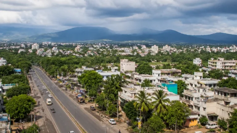
The IMD forecast singled out the following areas for very heavy rainfall today: Arunachal Pradesh, Gangetic West Bengal, Odisha, Uttar Pradesh and Uttarakhand. In addition, a larger band of states and regions are likely to experience moderate to heavy rain during the day.
| Intensity | States / Regions |
|---|---|
| Very heavy | Arunachal Pradesh; Gangetic West Bengal; Odisha; Uttar Pradesh; Uttarakhand |
| Moderate to heavy | North-east India; Chhattisgarh; Gujarat; Himachal Pradesh; Jammu & Kashmir; Ladakh; Gilgit-Baltistan; Jharkhand; Konkan & Goa; Madhya Maharashtra; Madhya Pradesh |
| Thunderstorms / lightning likely | Andaman & Nicobar Islands; Andhra Pradesh; Gangetic West Bengal; North Interior Karnataka; Tamil Nadu; Puducherry & Karaikal; Coastal Karnataka; Odisha; South Interior Karnataka; Sub-Himalayan West Bengal & Sikkim; Telangana |
IMD guidance and hazards
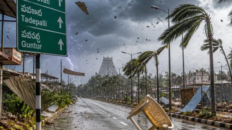
The Met office has forecast widespread thunderstorms and lightning in parts of the south and east, while convection associated with the monsoon and synoptic systems is expected to sustain periods of heavy rain over the indicated regions. The IMD advisory amounts to a combination of alerts — areas at risk of sudden intense downpours and lightning strikes should treat the warning as actionable.
- Public safety: Residents in the notified districts should avoid unnecessary travel during heavy spells and stay away from low-lying areas prone to waterlogging.
- Outdoor work: Those working outdoors, especially construction and agriculture, should suspend activity during intense thunderstorms and seek shelter to reduce lightning risk.
- Transport: Motorists should drive cautiously on waterlogged roads; air and rail passengers should expect possible delays due to weather.
Local authorities in vulnerable districts are likely to issue finer-scale warnings and advisories; citizens are advised to follow updates from district administrations and the IMD for watches and warnings specific to their area.
Context and potential consequences
Persistent heavy rain in the forecast corridor can lead to rapid rise in rivers and streams, flash floods, urban waterlogging and disruption of surface transport. In regions with hilly terrain, intense precipitation raises the risk of landslides and slope failure. The IMD forecast also notes thunderstorm and lightning activity which can cause injuries, damage to crops and power disruption.
Authorities are advised to keep rescue and relief arrangements on standby, ensure functioning drains and drains clearance in towns, and issue timely evacuation orders where water levels threaten habitations. Farmers should secure standing crops and livestock to the extent possible ahead of the heavy spells.
How to stay informed
Monitor the IMD website and official social media handles for updated bulletins and district-level warnings. Local disaster management units and municipal corporations will provide operational advisories, including school closures, transport advisories and shelter locations where necessary.
The IMD forecast covers today; residents in the affected states should treat the situation as evolving and adhere to official instructions. Prioritise personal safety: avoid wading through floodwater, disconnect electrical appliances during thunderstorms and keep emergency numbers at hand.
Further updates will follow as the Met office issues subsequent bulletins and as district administrations release ground-level assessments.