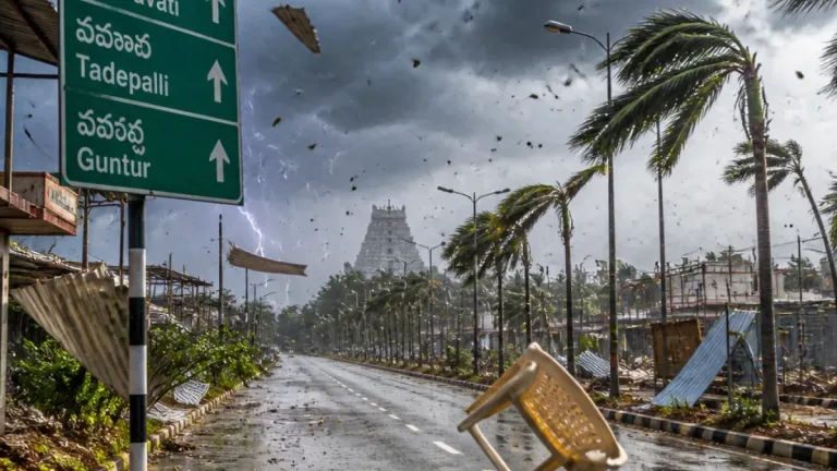
New Delhi, Aug 18: The India Meteorological Department (IMD) on Tuesday forecast heavy to very heavy rainfall over wide swathes of north, east and central India during the coming days, with an isolated spell of extremely heavy rain possible over parts of Jharkhand on August 18. The agency said the present disturbance includes a depression over Jharkhand and adjoining northern Gangetic West Bengal, which is expected to move west-northwestwards across Jharkhand and Bihar within 24 hours.
Areas likely to be most affected
The IMD bulletin indicated that several States will see notable rainfall intensity in different phases through August 23. The agency singled out Jharkhand for the possibility of isolated extremely heavy downpours on August 18, while warning of heavy to very heavy rain across parts of Bihar, Chhattisgarh, East Madhya Pradesh, Himachal Pradesh, Odisha and West Uttar Pradesh in the short term.
- Jharkhand: Heavy to very heavy rainfall; isolated extremely heavy rain on Aug 18.
- Bihar and adjoining eastern regions: Heavy rain expected as the system tracks west-northwest.
- Central India (Chhattisgarh, East Madhya Pradesh): Periods of heavy to very heavy rainfall on Aug 19 and thereafter.
- Western Himalayan belt: Jammu & Kashmir-Ladakh, Himachal Pradesh and Uttarakhand to receive fairly widespread to widespread rain through Aug 22–23.
- Northeast and eastern states: Sustained rainfall expected in Arunachal Pradesh, Assam & Meghalaya and other northeastern States, and widespread rain over Gangetic West Bengal and Sikkim through Aug 23.
Timing and progression
The IMD said the depression is likely to move across Jharkhand and Bihar within the next 24 hours, helping sustain unsettled weather over central and eastern India for several days. Specific timing highlights from the forecast include:
| Region | Expected periods of heavy rainfall |
|---|---|
| Jharkhand | Isolated extremely heavy rain on Aug 18; heavy to very heavy otherwise |
| East Madhya Pradesh | Heavy to very heavy on Aug 19 |
| East Uttar Pradesh | Heavy to very heavy on Aug 20–21; widespread rain Aug 18–23 |
| Western Himalaya (J&K, HP, Uttarakhand) | Fairly widespread to widespread rain through Aug 22–23 |
Impacts and advice
The IMD forecast warns of enhanced rainfall activity that may lead to flooding, inundation of low-lying areas and localised waterlogging where downpours are intense. Central and state governments, disaster management agencies and local authorities should remain alert for worsening conditions in vulnerable districts.
Residents and travellers in affected areas are advised to:
- Monitor local weather bulletins and updates from the IMD regularly.
- Avoid non-essential travel during intense rainfall; check road and traffic conditions before departing.
- Keep emergency supplies ready and move to safer, elevated locations if waterlogging or flash flooding occurs.
- Steer clear of swollen rivers, drains and flooded culverts; do not attempt to cross inundated roads or bridges.
The IMD also highlighted continuing rainfall across the northeastern states, with Arunachal Pradesh, Assam & Meghalaya and Nagaland, Manipur, Mizoram and Tripura expected to receive widespread to fairly widespread precipitation through Aug 18–23. Gangetic West Bengal and Sub‑Himalayan West Bengal and Sikkim are forecast to remain wet during the same period.
With the depression expected to track west-northwestwards, central India and parts of the plains should prepare for an extended spell of unsettled weather. The IMD will issue subsequent updates and local warnings as the system evolves; citizens in likely impact zones should follow advisories from district authorities and disaster management agencies.
Note: This bulletin is based on the latest IMD forecasts and public weather advisories issued by the Meteorological Department.