New Delhi, 12 August: A fresh low-pressure area that formed over the North Bay of Bengal off the West Bengal–Bangladesh coasts on Wednesday is expected to strengthen and move inland, bringing widespread monsoon rain across several states from Thursday, the India Meteorological Department (IMD) said.
System to intensify; timing and track
The IMD said the low-pressure area formed under the influence of a cyclonic circulation over the North Bay of Bengal. It is likely to become a well-marked low-pressure area within 12 hours of formation and may intensify into a depression over the next 24 hours while moving northwestwards across West Bengal and adjoining Bangladesh.
Where heavy rain is expected
The central forecast from the IMD indicates that the system will keep eastern and central India wet in the coming days. For 13 August, the department warned of heavy to very heavy rainfall, with isolated extremely heavy falls likely over parts of Gangetic West Bengal and Odisha. Chhattisgarh can also expect heavy to very heavy rain at isolated locations.
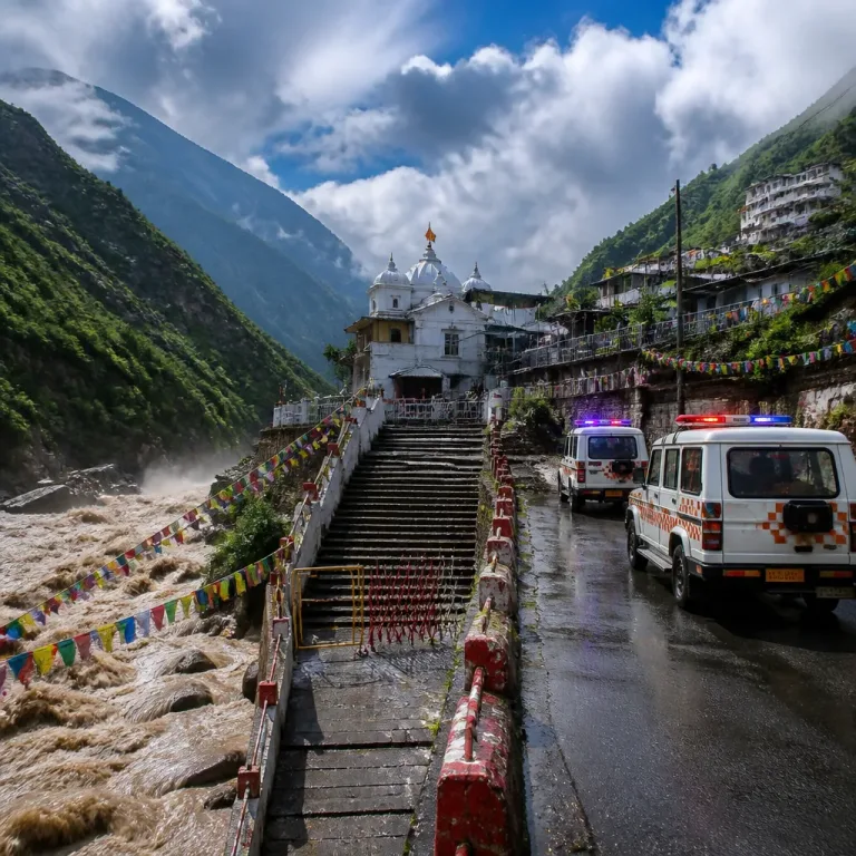
Other regions named by the IMD for significant rainfall include Jharkhand, East Uttar Pradesh, Gujarat, parts of Maharashtra, West Madhya Pradesh, Rajasthan, Himachal Pradesh, Uttarakhand, Jammu and Kashmir, Kerala, Karnataka, Konkan and Goa, parts of the Northeast and Tamil Nadu. The IMD also said widespread rainfall will continue over the Western Himalayan region.
| Region / State | Expected intensity (13 Aug unless stated) |
|---|---|
| Gangetic West Bengal, Odisha | Heavy to very heavy; isolated extremely heavy |
| Chhattisgarh | Heavy to very heavy at isolated places |
| East Rajasthan, West Madhya Pradesh | Heavy (13–14 Aug for East Rajasthan) |
| Gujarat, parts of Maharashtra, Konkan & Goa | Under influence of active monsoon; periods of heavy rain |
| Kerala, coastal Karnataka | Heavy rainfall in places |
| Western Himalayan region | Widespread rainfall continues |
Why rains may be widespread
The IMD attributed the enhanced rainfall to the twin factors of the newly formed low-pressure area and an active monsoon trough lying south of its normal position. Together these features provide a favourable setup for convective activity and organised rain bands over a wide swathe of the country.
Hazards and precautions
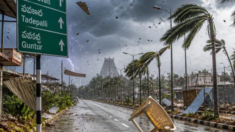
- Flooding and waterlogging: Low-lying urban areas, riverine belts and poorly drained localities in the affected states should prepare for waterlogging and urban flooding during intense spells.
- Rivers and reservoirs: Authorities should monitor river levels and be ready to release advisories or carry out precautionary evacuations if flows rise rapidly.
- Travel and transport: Motorists should avoid flooded stretches, and commuters should expect disruption to road and rail services during heavy spells.
- Local warnings: People in the named districts should follow district administration and state disaster management bulletins; heed red/orange/yellow warnings issued locally by the IMD and state meteorological cells.
The IMD’s forecast sequence — formation, rapid marking of the low within about 12 hours and possible deepening into a depression within the next 24 hours — underlines the need for close monitoring by state administrations and disaster-response agencies. The department’s advisories and district- and state-level warning bulletins will indicate the precise districts under red, orange or yellow watches as the system evolves.
Given the system’s projected northwestward movement across West Bengal and adjoining Bangladesh, eastern and central India are likely to remain under the influence of active monsoon conditions through the immediate spell. Residents and local authorities in the mentioned states should take standard monsoon precautions: secure loose outdoor items, avoid travel during intense downpours, and maintain emergency supplies and contact lists.
The IMD will issue routine updates on the system’s intensity, track and district-wise warnings; citizens are advised to follow those official communications for the latest guidance.