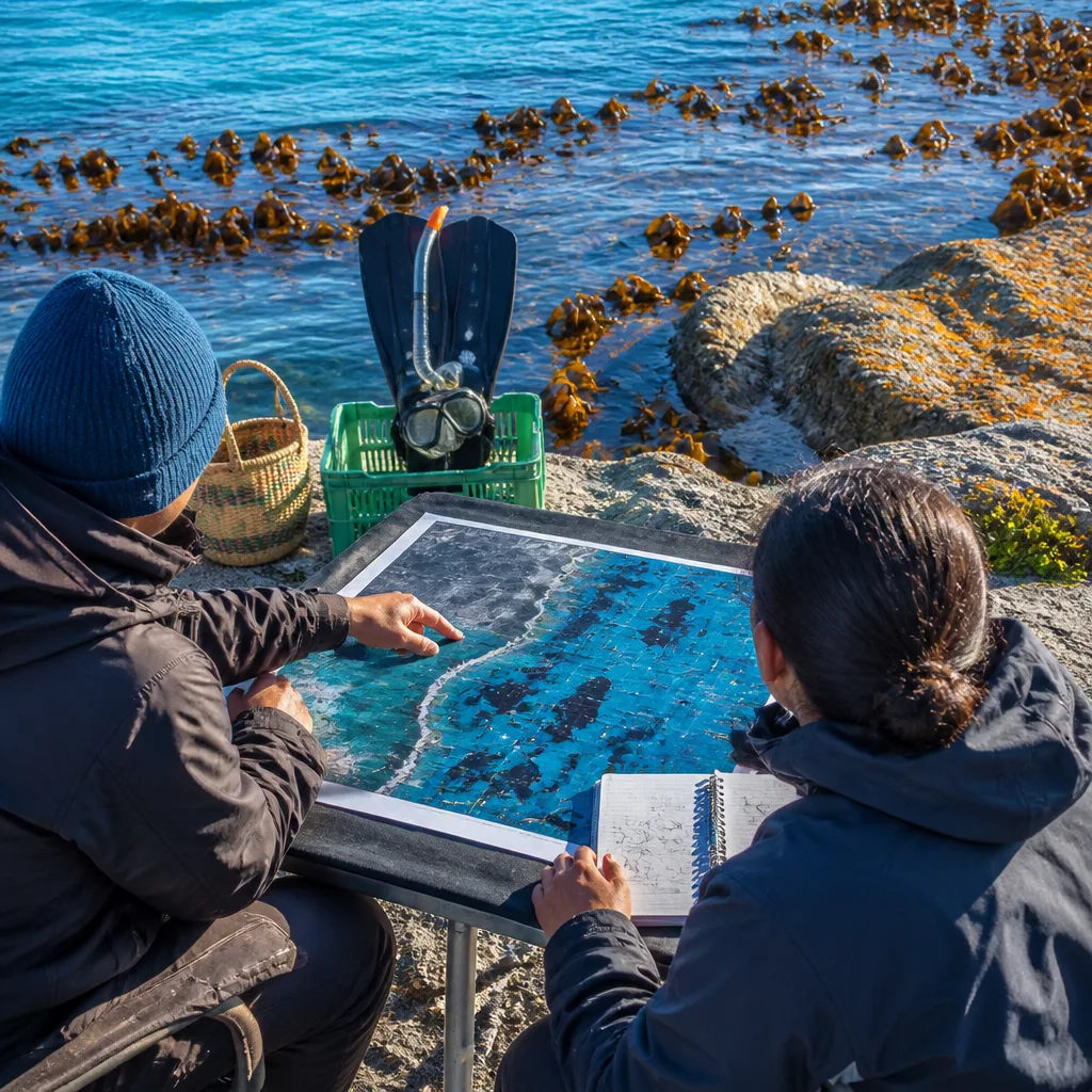
When Loyiso Dunga began mapping the Great African Seaforest in 2016, he did so by snorkelling and by studying satellite imagery. The exercise, he says, was not merely an ecological survey but an urgent attempt to bring together scientific data and community knowledge to conserve a rare and expanding marine ecosystem.
Why the seaforest matters
Dunga’s work focuses on a kelp system that is notable for its scale and for its growth. The South African section of the seaforest runs for roughly 800 miles (about 1,300 kilometres), straddling two coasts and two oceans. That geographic sweep underpins why he now works with international bodies such as the International Union for Conservation of Nature (IUCN) and the Kelp Forest Alliance.
The Kelp Forest Alliance has set an ambitious target to protect more than 9 million acres (3.6 million hectares) of kelp forest by 2040 — an objective that demands reliable maps, local engagement and cross-border cooperation.
| Metric | Value |
|---|---|
| Length of South African kelp section | 800 miles / 1,300 km |
| Protection target by 2040 | 9 million acres / 3.6 million hectares |
Method: satellites, snorkels and community memory
Dunga first used satellite imagery to map a system that had not been comprehensively charted before 2016. But he places equal value on field observation — the snorkelling that introduced him to the ocean as a place of wonder rather than only of work — and on the lived knowledge held by coastal communities. As a member of the Xhosa nation who grew up in the Wild Coast village of Nqabara, Dunga emphasises that for many local people the ocean is kin: “the ocean was kin or family to Dunga, and a sacred place,” the interview records.
“There is so much knowledge that is documented within coastal communities but is outside of science,”
This is not rhetorical. Dunga says conservation measures must learn from the history of exclusion under apartheid, when coastal management sometimes became a tool to evict communities. He founded Asili Blue Renaissance, a non-profit intended to design conservation actions that are both scientifically robust and socially just.
Conservation in practice and policy
Today Dunga works as executive director for the Seas of Good Hope programme in South Africa and collaborates internationally through the Kelp Forest Alliance to safeguard kelp habitat. He argues that to meet the Alliance’s protection target — the 3.6 million hectares goal — conservationists must integrate Indigenous stewardship, remote sensing, and policy instruments.
- Mapping: Satellite imagery established baseline coverage in 2016 and remains central to large-scale monitoring.
- Local knowledge: Coastal communities hold ecological observations and practices absent from formal scientific records.
- Equity: Conservation must avoid repeating the dispossession associated with past environmental programmes.
Dunga is also involved in a naming initiative with the Kelp Forest Alliance to recognise kelp forests globally. The move to standardise names is practical — improving communication across jurisdictions and datasets — and symbolic, reflecting the cultural as well as ecological value of these marine habitats.
Consequences and questions
The Great African Seaforest sits among the few kelp systems worldwide that are expanding rather than retreating. That makes it a valuable living laboratory for understanding resilience and for testing conservation strategies at scale. But success will be measured not only in hectares protected on paper, but in whether local people share control over those protections and whether long-term monitoring via satellites and in situ surveys can detect change early enough to act.
The combination of modern remote sensing and community-rooted practice offers a model for marine conservation in the 21st century: rigorous, inclusive and spatially explicit. If the goal to protect millions of hectares by 2040 is to be met, the next step will be converting mapped intent into enforceable, community-supported protection on the water.