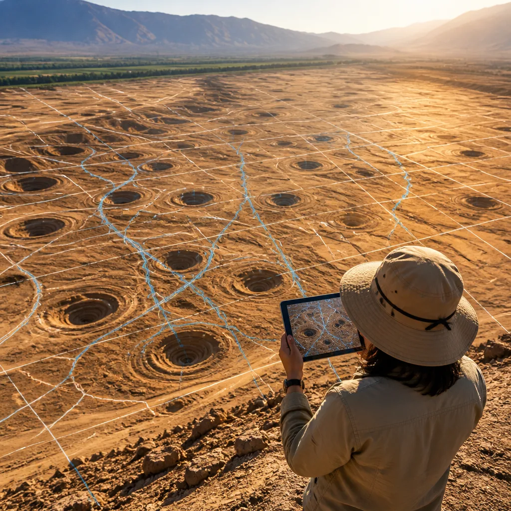
The long‑standing mystery of the Nasca region’s spiralling pits has taken a significant step towards resolution. New analysis of satellite imagery supports the view that the distinctive funnel‑shaped depressions known as puquios functioned as engineered conduits to access and manage year‑round groundwater, enabling dense settlement in one of the planet’s most arid landscapes.
Remote sensing reveals pattern and purpose
Researchers led by Rosa Lasaponara of the Institute of Methodologies for Environmental Analysis in Italy examined high‑resolution aerial and satellite data to study the distribution and context of the puquios across the Nasca plain. The imagery shows the spiralling excavations positioned repeatedly close to archaeological settlements and aligned with subsurface hydrological features, a spatial relationship the team interprets as deliberate rather than incidental.
In plain terms, the puquios look less like isolated curiosities and more like a coordinated network of hydraulic structures designed to tap aquifers and stabilise water supply through seasonal or multi‑year droughts. That conclusion helps explain how pre‑Hispanic populations could maintain agriculture and settlement in a region that experiences months or years of severe dryness.
“The problem of drought was solved by the ancient Nasca by devising the puquios that are sophisticated hydraulic systems constructed to retrieve water from the underground aquifers,”
The quoted assessment comes from Lasaponara and her colleagues, who contributed a chapter to the edited volume Ancient Nasca World. Their work synthesises surface archaeology with satellite datasets to argue that the puquios functioned as both water retrieval points and storage features, effectively turning sections of the desert into productive, irrigable land.
Dating remains uncertain but implications are substantial
A key constraint is chronological: environmental features such as the puquios cannot be directly dated by radiocarbon methods, leaving their origin open to interpretation. The authors place construction plausibly within a broad interval of occupation in the area, while acknowledging other researchers favour a narrower timing associated with the middle Nasca period.
| Proposed date range | Interpretation |
|---|---|
| 1000 BCE–750 CE | Broad window matching long‑term occupation of the region |
| around 500 CE | Alternative view tying puquios to the middle Nasca cultural florescence |
The divergence in dates matters because it affects how archaeologists read social complexity, land use intensity and responses to climate variability across centuries. If the puquios were an early innovation, they testify to prolonged technical adaptation. If later, they represent a concentrated period of investment in landscape transformation.
- Method: satellite and aerial imagery analysed for spatial relationships with settlements and likely aquifers.
- Finding: puquios appear strategically sited to provide dependable groundwater access.
- Uncertainty: lack of direct dating for the structures yields competing chronological models.
The new interpretation aligns well with historical accounts: Europeans first recorded these funnel features in the early 17th century, but their origin and function puzzled scholars for centuries. Remote sensing now offers a non‑invasive window into the landscape‑scale organisation of ancient water management.
Broader significance and next steps
Beyond settling an archaeological curiosity, the study underlines the value of integrating satellite data with field archaeology to recover invisible aspects of past infrastructure. Understanding how ancient communities engineered reliable water access across variable climates can inform both academic debates and contemporary approaches to drought resilience in marginal environments.
Future work will need to combine targeted excavation, hydrological study and dating of associated cultural deposits to tighten the chronological picture. Until then, the image that emerges is of a society that, through careful siting and construction, converted parts of an arid plain into what Lasaponara and colleagues describe as a “green garden” — an evocative phrase that captures how technical ingenuity can transform landscape and livelihood.