India now tracks tens of thousands of Himalayan glacial lakes from space, but experts caution that knowing the lakes exist is only the first step: assessing which lakes pose a threat and turning observations into rapid, local warnings remains a major challenge.
Satellite mapping reveals scale and uneven distribution
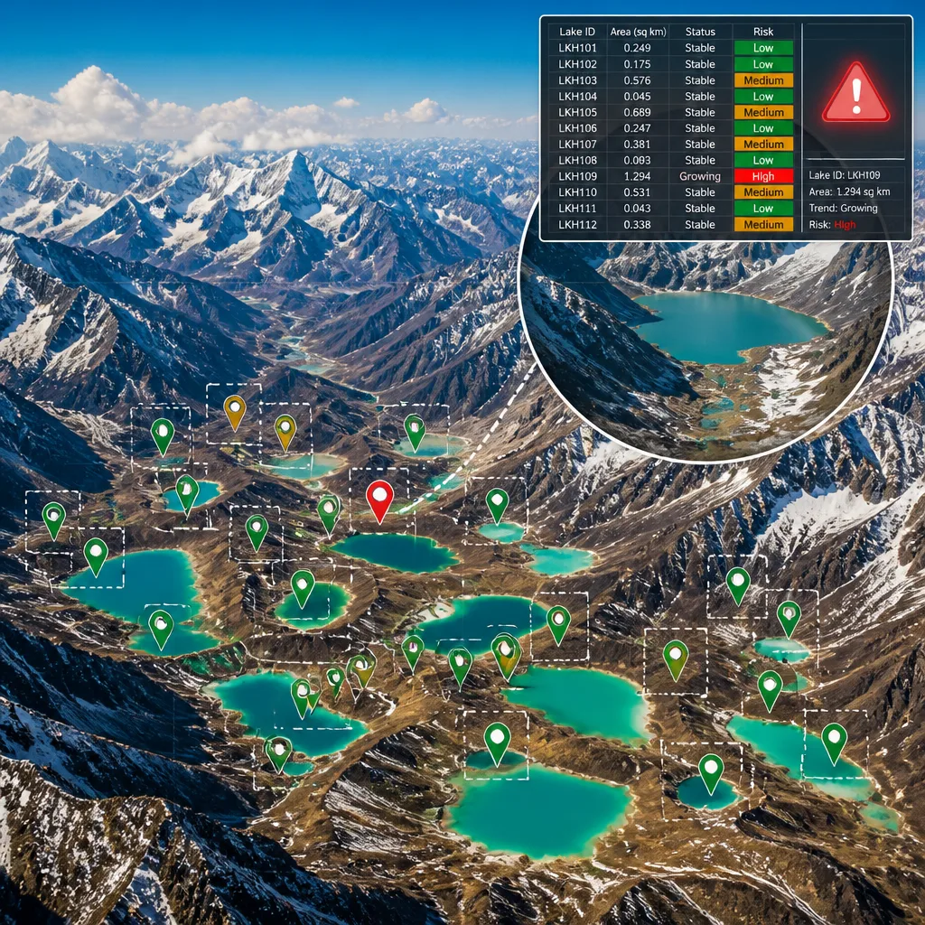
The National Remote Sensing Centre (NRSC) under ISRO produced the country’s most comprehensive official inventory using high-resolution imagery mainly from 2016-17. The inventory identified 28,043 glacial lakes of at least 0.25 hectares across Himalayan river basins, of which 7,570 lie within India and 20,473 are in transboundary parts of the same basins.
The distribution inside India is markedly uneven. According to the NRSC inventory:
- Ladakh: 3,219 lakes
- Arunachal Pradesh: 2,188 lakes
- Sikkim: 733 lakes
- Jammu and Kashmir: 546 lakes
- Himachal Pradesh: 537 lakes
- Uttarakhand: 347 lakes
| Parameter | Number |
|---|---|
| Total glacial lakes mapped (≥0.25 ha) | 28,043 |
| Located within India | 7,570 |
| In transboundary basin areas | 20,473 |
From space observation to risk assessment
Glacial lakes form and change as glaciers retreat. Some fill bedrock hollows, while others are contained by moraines — natural accumulations of rock and sediment that can function like dams. The critical hazard in many instances is a glacial lake outburst flood (GLOF), where moraine or ice barriers fail and release large volumes of water, sediment and debris downstream.
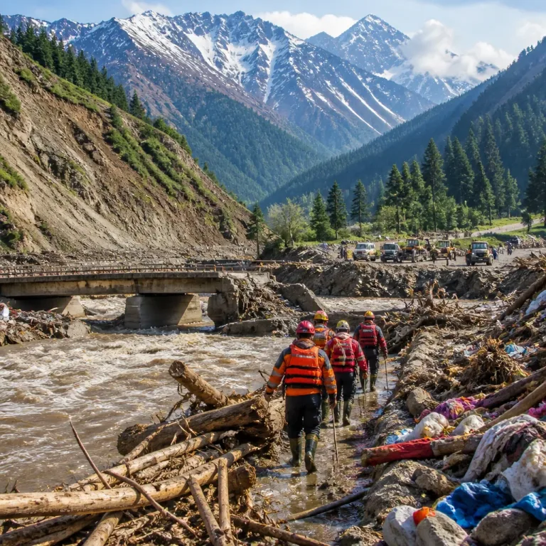
Recent events beyond India’s borders emphasise the stakes. The U.S. Geological Survey (USGS) reported that a rapid slope failure involving a glacier on Langtang Lirung near the Nepal–China border on August 26 generated seismic energy equivalent to a magnitude 5.2 earthquake and produced a debris flow that travelled nearly 100 kilometres. USGS noted the incident has not been established as a GLOF and that it remains unclear whether the initial failure was a landslide incorporating part of a glacier or a glacial collapse. Nevertheless, the catastrophe has focused attention on the rapid transformation of Himalayan cryosphere features.
Monitoring improves, warnings lag
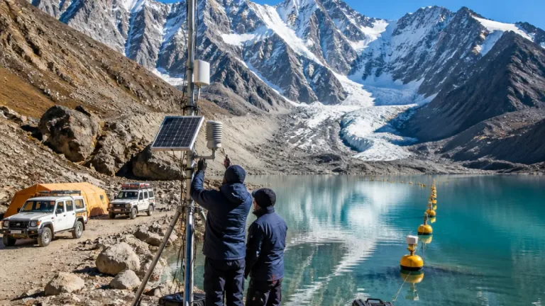
India’s ability to observe glacial-lake dynamics from satellites has expanded, enabling researchers and agencies to detect new and enlarging lakes. However, the harder task is converting remote-sensing data into timely, local-level early warnings and hazard reduction measures. Satellite imagery can indicate changing lake area and detect potential instability, but assessing slope conditions, moraine integrity and downstream exposure requires field verification, high-resolution temporal monitoring and institutional coordination.
Risk depends not only on lake size but on local topography, dam composition (ice, moraine or bedrock), and the presence and vulnerability of communities and infrastructure downstream. The NRSC inventory provides a baseline for prioritising field studies, but authorities and researchers must integrate satellite evidence with on-the-ground assessments to determine which lakes warrant urgent mitigation.
Policy implications and next steps
Improved satellite monitoring is a necessary foundation for disaster risk management in the Himalayan region, but it is not sufficient on its own. Effective hazard reduction will need:
- Regular high-frequency satellite monitoring combined with targeted field surveys of high-risk lakes.
- Multiscale hazard assessments that factor in local slope stability, moraine composition and downstream exposure.
- Stronger institutional mechanisms to translate satellite alerts into community-level warnings and infrastructure safeguards.
The NRSC data underline both the scale of change in the Himalaya and the uneven geographic distribution of glacial lakes inside India. As glaciers continue to retreat in a warming climate, the challenge for authorities will be to move from detection to prioritised action that reduces the risk of catastrophic outbursts and protects downstream populations and assets.