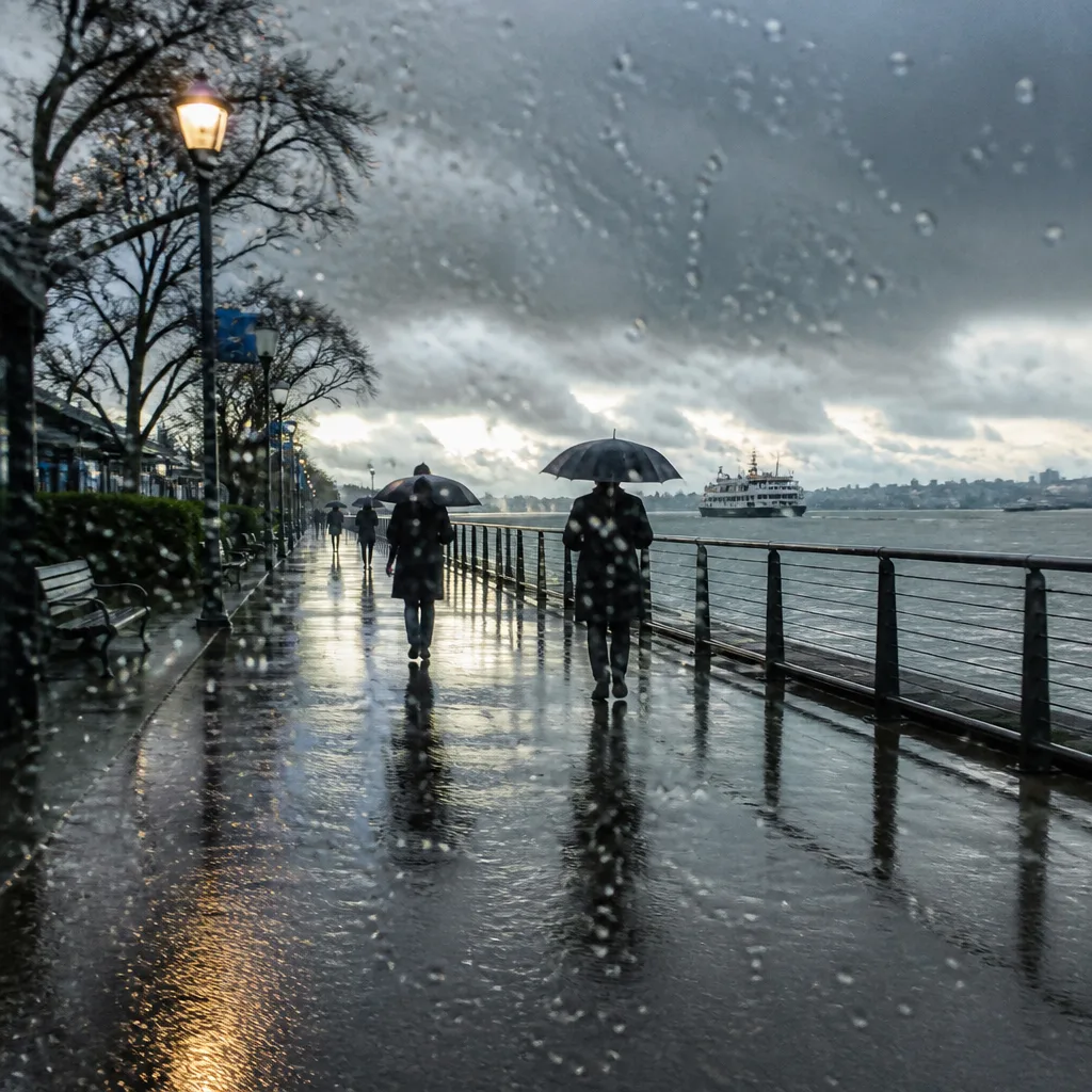
Metro Vancouver is set to see a taste of early autumn as a low-pressure system originating near Alaska pushes down the coast, bringing showers, cooler temperatures and breezy conditions to the region at the start of September.
What to expect this week
Forecasters say the start of the week will still feel like late summer, with daytime highs around 21 C on Monday and Tuesday and overnight lows in the mid-teens. That relative warmth will be short-lived: overnight Tuesday into Wednesday the incoming system is expected to produce steady showers and a noticeable drop in daytime temperatures.
"It's definitely a dive into September weather for the start of the month here," said Environment Canada meteorologist Chloe Katsademas.
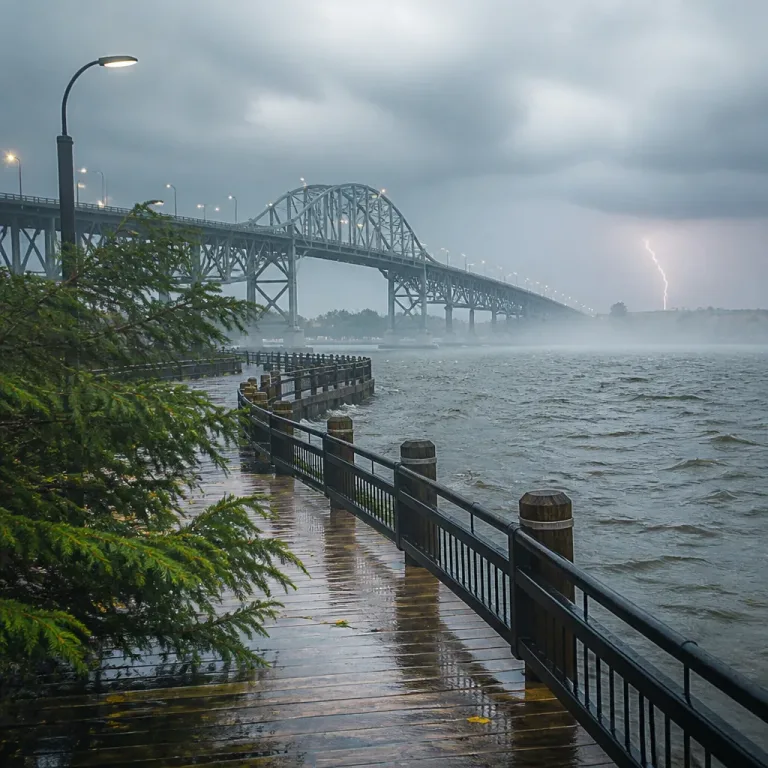
Environment Canada advises that while the system will bring cool air and precipitation, it is not anticipated to be dramatic in terms of rainfall totals. Still, travellers and marine users on the Georgia Strait should be prepared for stronger winds as the low moves through.
Conditions through the end of the week and weekend
Once the low moves inland or breaks up, the core of the precipitation should depart with it, leaving the region under cooler air. Forecasters expect some clearing by late week into the weekend, though spotty, light showers could linger on Thursday and Friday.
- Early-week highs: about 21 C (Monday–Tuesday)
- Mid-week high: around 19 C (Wednesday)
- Typical overnight lows: mid-teens, dipping to about 12 C late in the week
- Windy conditions possible on the Georgia Strait during the system's passage
There is some uncertainty heading into the following week: another system is expected toward the end of the weekend and into early next week, which could modify the weekend outlook. Before any subsequent system arrives, however, there is potential for a brief warm-up over the weekend, with daytime temperatures possibly returning near 21 C in some areas.
Context — seasonal normal versus what’s coming
Forecasters note that the pattern this week is close to a typical early-September regime for Metro Vancouver. The city's average high for September is about 19 C, down from the average of 23 C in August, so the cooler readings and increased shower frequency fit normal seasonal transition.
| Day | Expected high | Notes |
|---|---|---|
| Monday–Tuesday | 21 C | Mix of sun and cloud; late-summer feel |
| Wednesday | 19 C | Showers through much of the day as low moves in |
| Thursday–Friday | ~19 C | Spotty light showers; cooler overnight to ~12 C |
| Weekend | Up to 21 C possible | Some clearing likely; uncertainty due to next system |
For residents and visitors, the key messages are straightforward: expect a shift from late-summer conditions to a more typical September pattern, carry a light rain layer for mid-week activities, and be ready for breezy spells on coastal waters. Those with outdoor plans for the middle of the week should monitor forecasts and marine advisories if heading onto the Georgia Strait.
Environment Canada will continue to refine timing and precipitation amounts as the system approaches. Given the seasonable nature of the change, impacts are expected to be modest, but the cooler air and showers will be noticeable after a warmer August.