
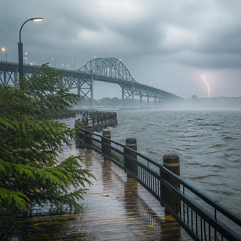
SAULT STE. MARIE — A cloudy, humid day with periods of showers and a risk of thunderstorms is expected across Sault Ste. Marie today, with highs around 21°C and breezy winds building into the evening.
What to expect today
This morning’s observation showed a light rain shower with the temperature near 16.2°C, humidity at 95% and a dew point of 15.4°C, creating a muggy start. Visibility was about 11.3 km and pressure was steady to rising at 101.1 kPa. The immediate hourly trend indicates temperatures climbing into the upper teens, reaching about 20–21°C by mid to late afternoon.
Timing and hazards
Environment Canada’s forecast shows a 60 per cent chance of showers today with a clear risk of a thunderstorm this evening. Fog patches are expected to dissipate during the morning, but later in the day the atmosphere will remain moist enough to support convective activity.
- Shower chance: 60% today and into tonight.
- Thunderstorm risk: Elevated this evening with the showers.
- Humidity/humidex: Humidex around 27 today, making it feel warmer than the air temperature.
- Winds: South at up to 20 km/h this morning, shifting to west this afternoon and becoming northwest at about 30 km/h this evening with stronger gusts Thursday.
Short-term outlook
Tonight the clouds will linger with another 60 per cent chance of showers and a low near 14°C. Winds are expected to turn northwest and strengthen to about 30 km/h this evening. On Thursday, conditions will remain mostly cloudy with a high near 21°C and a diminishing but still noticeable wind, with gusts up to 50 km/h possible during the day.
| Period | Forecast | Temperature |
|---|---|---|
| Today | Cloudy, showers likely; risk of thunderstorms | High 21°C |
| Tonight | Cloudy with showers possible | Low 14°C |
| Thursday | Cloudy, chance of showers early; breezy | High 21°C |
Seven-day snapshot
Through the weekend the outlook shows a mix of cloudy periods and occasional showers. Key points from the seven-day forecast:
- Friday is expected to be sunnier with a high near 20°C.
- Saturday and Sunday will remain mild, near 21–22°C, with intermittent cloud and a chance of showers.
- Early next week the area continues to see a pattern of cloudiness with periodic showers and several days with a 60 per cent chance of precipitation, keeping conditions unsettled.
Practical advice
Given the combination of humidity and thunderstorm risk this evening, residents should keep an eye on local warnings and be prepared for brief heavy rain, lightning and gusty winds. Secure loose outdoor items if gusts approach the forecasted 30–50 km/h range. Those planning outdoor activities this evening should have a sheltered alternative and monitor updates from Environment Canada or local weather providers.
Sunrise is at 6:49 a.m. and sunset at 8:28 p.m., with normal seasonal highs around 21°C and lows near 10°C. The current forecast is based on Environment Canada data and local observations — for continuous updates and detailed municipal guidance consult official channels.










