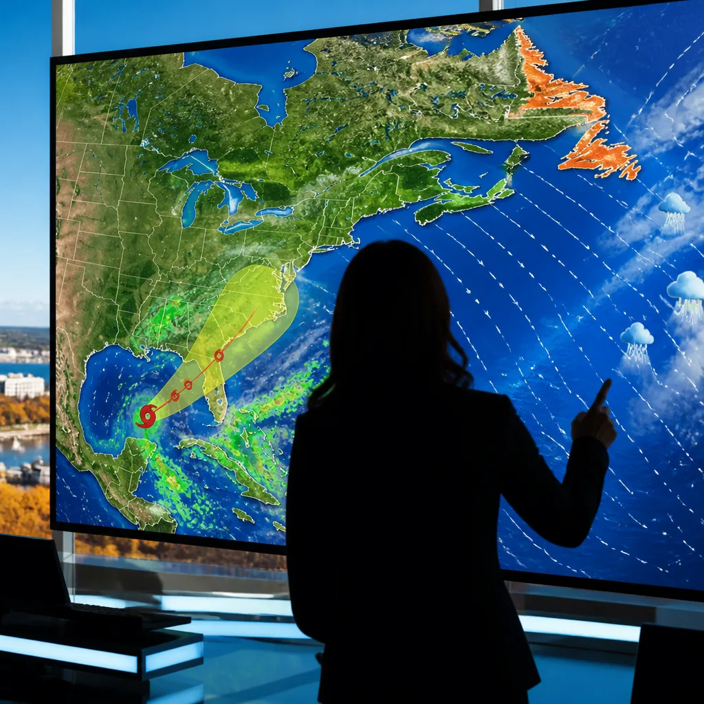
CBC meteorologist Ashley Brauweiler delivered the forecast for Wednesday in Newfoundland and Labrador as forecasters continue to monitor a tropical disturbance in the Atlantic. While local conditions will determine the immediate impacts in the province, national services are emphasising vigilance as the Atlantic hurricane season produces systems that can influence weather across eastern Canada.
What forecasters are saying
The televised forecast segment from CBC focused on conditions for Wednesday in Newfoundland and Labrador. The same coverage highlighted a developing Atlantic system — Isaias — which, according to weather services cited in national reporting, has entered the Gulf of Mexico and was being tracked as a storm that could become the season’s first hurricane. Forecasts at the time indicated the system was of concern for interests in the Yucatán Peninsula and the northern U.S. Gulf Coast.
Although the immediate trajectory for Isaias did not have a confirmed direct landfall point for Canada in the material reviewed, meteorologists routinely note that the tracks and remnants of Atlantic hurricanes can influence weather for eastern Canada in the days after intensification, especially during the autumn transition.
Implications for Newfoundland and Labrador and Atlantic Canada
Fall is a season of transition for Atlantic Canada: tropical systems that run up the coast or their post-tropical remnants can bring heavy rain, strong winds and elevated seas. Even if a system does not directly strike Canadian shores, peripheral effects such as higher surf, squally showers and a tightening pressure gradient can produce notable local impacts.
Residents of Newfoundland and Labrador — and travellers along the Atlantic seaboard — should follow updated forecasts from Environment and Climate Change Canada and local broadcasters. When tropical systems are active, small changes in track or speed can alter which communities experience the most significant impacts.
- Monitor official forecasts: check Environment and Climate Change Canada and local media for watches, warnings and updates.
- Prepare for coastal effects: high waves, coastal erosion and dangerous surf can occur ahead of or alongside strong storms.
- Expect changing conditions: wind shifts and sudden heavy downpours are common when remnants of tropical systems interact with cooler North Atlantic air.
These are standard preparedness recommendations tied to any tropical or post-tropical threat; they reflect the way such systems typically impact the region rather than predicting specific weather for an individual community.
How to use forecasts to plan
Weather forecasts in the broadcast reviewed provided a snapshot of Wednesday’s outlook for the province, but viewers and residents should use continuous, authoritative updates to make decisions about travel, marine activities and coastal property precautions. For mariners and those in exposed coastal areas, paying attention to marine warnings and the latest buoy and ship observations can be particularly important.
Nationally, meteorologists emphasise that Atlantic hurricane season remains active through the autumn months and that systems forming in the Gulf of Mexico or western Atlantic can sometimes accelerate northward or be steered by mid-latitude troughs toward the Atlantic provinces as they transition. That evolution is the main reason for close monitoring when a named storm develops.
For now, the immediate message is one of vigilance rather than alarm: keep devices tuned to local weather services for Wednesday’s detailed forecast in Newfoundland and Labrador and for any alerts related to Isaias as the system evolves.