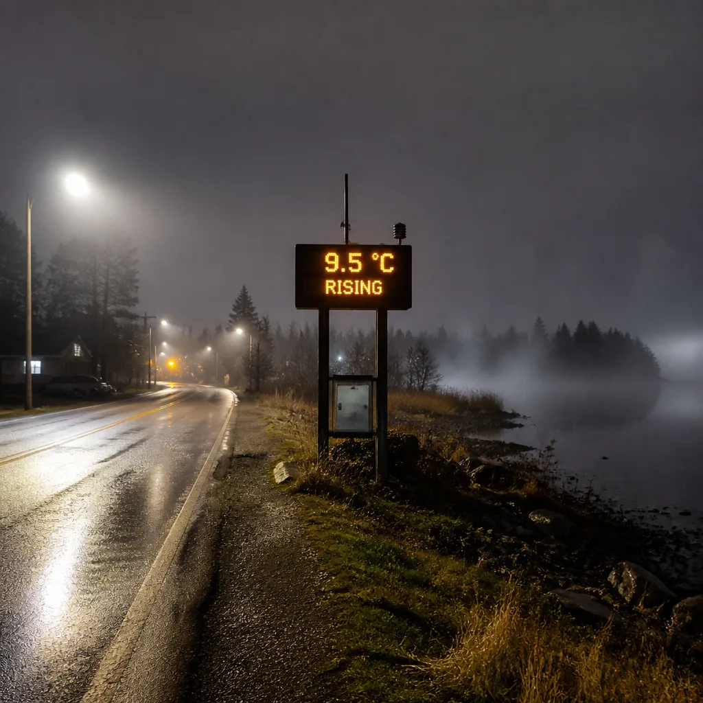
North Bay is reporting cloudy conditions and calm winds late this evening, as a ridge of higher pressure begins to build over the area. Observations show the temperature at 9.5°C with a pressure of 102.0 kPa and rising, visibility near 16.1 km, a dew point of 6.8°C and relative humidity around 83%.
Tonight: cloud increase and fog
The immediate concern for residents and travellers is the likelihood of fog patches developing overnight. With skies clouding over and light winds, radiational cooling will be reduced but shallow fog could form in low-lying and sheltered locations as temperatures fall toward the forecast low of 8°C. Motorists should be prepared for localized visibility reductions during the early hours.
Weekend and early-week pattern
Sunday is expected to see a mix of sun and cloud and a high near 19°C. There is a 30 per cent chance of showers in the afternoon and winds will shift to the north, gusting as high as 40 km/h at times. The forecast indicates gusty north winds will persist into Sunday night, though they should ease after midnight as the low drops to about +3°C.
Looking ahead, the start of the workweek will be noticeably cooler. Monday's high is forecast near 14°C with clear skies overnight and a low close to +2°C. Tuesday and Wednesday are expected to be mostly sunny with daytime temperatures climbing back into the mid- to high teens — roughly 16°C on Tuesday and 18°C on Wednesday — before a mix of sun and cloud returns on Thursday with a high near 18°C.
What to expect and how to prepare
- Overnight fog could cause localized visibility issues; reduce speed and use low-beam headlights when driving.
- Chilly mornings early next week — consider a light jacket or layers for outdoor plans.
- Gusty north winds on Sunday may affect small craft and exposed areas; secure loose items and check marine forecasts if heading onto the water.
Daily normals for the region are a low of 7°C and a high of 17°C. Yesterday's readings showed a low of 5.7°C and a high of 15.1°C, with no measurable precipitation.
| Period | Conditions | Temperature |
|---|---|---|
| Tonight | Increasing cloud, fog patches developing | Low 8°C |
| Sunday | Mix of sun and cloud; 30% chance of afternoon showers; breezy | High 19°C |
| Sunday night | Partly cloudy; 30% chance of early showers | Low +3°C |
| Monday | Mix of sun and cloud | High 14°C |
Hourly guidance through the night shows temperatures dipping toward the high single digits, holding around 8–10°C through the overnight hours before rising into double digits Sunday morning. Wind readings are presently calm at the observation site (0 km/h), but the forecast indicates increasing northerly winds on Sunday, with occasional strong gusts.
These conditions stem from a transient pattern that will bring a brief cool spell early next week followed by a return to milder, mainly dry conditions through Thursday and Friday. Stay tuned to Environment Canada updates for any changes to timing or the likelihood of showers, and monitor travel advisories if you plan to drive during the overnight or into Sunday afternoon. With fog possible, allow extra time for trips and keep a close eye on local weather and road reports.