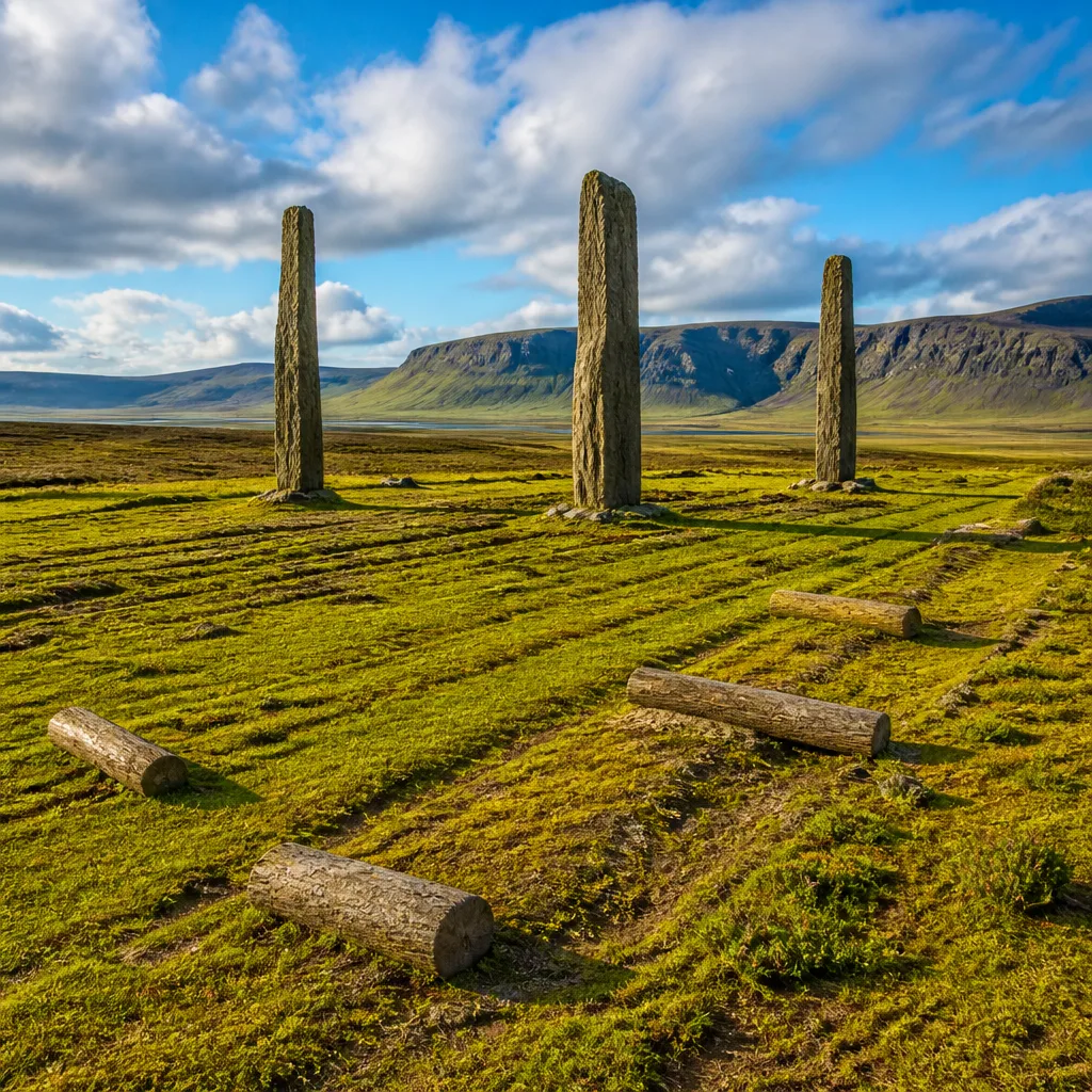
Scientists say the three surviving standing stones known as the Devil’s Arrows in North Yorkshire were deliberately quarried and moved about 11 miles (18 kilometres) from their bedrock source, overturning explanations that glaciers carried the monoliths to their present lowland site.
New mineral fingerprinting links stones to Brimham Rocks
In research published in Proceedings of the Royal Society A, an international team compared the mineral grain characteristics of the Devil’s Arrows with bedrock outcrops in the region and identified a match with the Millstone Grit exposures at Brimham Rocks, to the west of modern Boroughbridge. The tallest of the stones reaches about 23 feet in height and has an estimated mass of roughly 27.5 tonnes.
The analysis applied sedimentary and mineralogical “fingerprinting” techniques to the stones’ grain populations, enabling the researchers to tie the monoliths to a specific geomorphological source rather than to an unspecified local supply.
“How prehistoric societies selected and transported megaliths remains poorly understood because the geological sources of many monuments are unresolved,” the authors wrote.
Deliberate selection and movement, not glacial drift
Using reconstructions of regional ice flow, the team ruled out glacial transport as the mechanism that brought the stones to their lowland alignment. Instead, the evidence points to purposeful extraction and movement by people in the Late Neolithic or Early Bronze Age — a period that archaeologists often place around 2,000 BCE for many similar monuments.
The authors argue that the findings show megalith builders were selective about both the rock type and its landscape context, and that their choices reflected an engagement with particular upland places that carried meaning for communities building monuments.
- Location identified: Brimham Rocks (Millstone Grit outcrops)
- Distance moved: approximately 11 miles (18 km) to Boroughbridge
- Stone dimensions: tallest surviving stone ~23 feet; weight ~27.5 tonnes
- Dating context: Late Neolithic/Early Bronze Age (circa 2,000 BCE, as commonly suggested for similar monuments)
Implications for prehistoric engineering and ritual landscapes
Although the exact methods used by prehistoric communities to extract and transport such heavy blocks remain unknown, the study privileges deliberate human agency over passive natural processes. By linking the stones to a visually and geomorphologically distinct upland source, the research suggests the selection process involved more than mere availability of rock — possibly considerations of place, prestige or worldview.
Archaeologists have long debated whether megaliths were moved opportunistically from nearby outcrops or hauled from farther afield because of symbolic associations. The Devil’s Arrows study provides concrete geological evidence in favour of long-distance sourcing for at least this monument.
| Feature | Detail |
|---|---|
| Source rock | Millstone Grit at Brimham Rocks |
| Distance to monument | ~11 miles (18 km) |
| Tallest surviving stone | ~23 ft; ~27.5 tonnes |
The site itself comprises three standing stones aligned across an area of about 570 feet, a rare configuration in a lowland setting. That rarity makes the new provenance evidence particularly valuable for understanding choices made by prehistoric constructors.
By combining mineralogical fingerprinting and palaeoglaciological reconstructions, the authors provide an approach that could be applied to other megalithic monuments whose geological sources remain unresolved. If replicated elsewhere, the method may reframe views on the logistics, organisation and cultural motivations behind some of Britain’s most iconic prehistoric constructions.
While the study does not resolve how the stones were physically raised into place or the full social context of their erection, it narrows the field of plausible explanations by demonstrating intentional quarrying and transport over a substantial distance.
The findings add to a growing body of work that treats prehistoric monument construction as a product of complex planning and landscape engagement rather than fortuitous use of local materials.