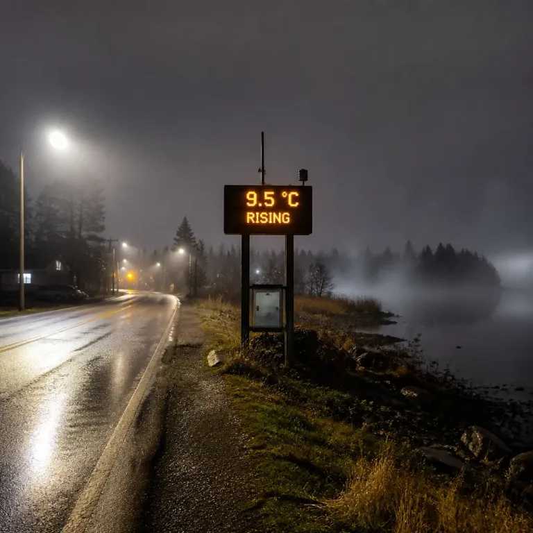
A warm, humid airmass associated with a broader late‑summer circulation is expected to spread into parts of southern Ontario this week, bringing muggy conditions, higher humidex values and an increased chance of showers and thunderstorms through the latter half of the work week and possibly into the weekend.
What to expect
A surface high pressure centre establishing over the southern Mississippi Valley will help build and transport hot, moisture‑laden air into the Great Lakes region. The result for much of southern Ontario is an environment that will feel noticeably more humid than recent days, with daytime highs generally in the low to mid‑20s C and local readings rising into the upper 20s C in parts of southwestern Ontario.
Because of the added moisture, humidex values are expected to climb, with some locations seeing an apparent temperature in the low‑ to mid‑30s. While these are not extreme heat values, they represent a distinct departure from the cooler start to September across the region and will feel oppressive to those sensitive to humidity.
Thunderstorm potential and heavy rain
Moderate to plentiful moisture across the corridor commonly referred to in forecasting as a "ring of fire" will set the stage for periodic rounds of showers and thunderstorms. Forecasters say the exact placement of the corridor remains uncertain — particularly how far north the most humid air will penetrate and whether embedded impulses or low‑pressure waves will ride along the boundary to trigger more organised storms.
If a frontal wave or low interacts with the moist airmass, the setup could produce thunderstorms capable of producing locally heavy rainfall and brief but intense downpours. Under such storms, rapid accumulation would raise the risk of short‑duration, urban or small‑stream flooding.
Residents and municipal authorities should remain alert to any weather warnings or watches that local offices issue, especially in areas prone to poor drainage or flash flooding.
- Daytime highs generally low–mid 20s C, with pockets into the upper 20s C.
- Humidex values potentially reaching the low–mid 30s in southwestern Ontario.
- Periodic showers and thunderstorms expected through the second half of the week; localized heavy rain possible.
Timing and uncertainty
Forecasters are watching model guidance for the timing and amplitude of shortwave impulses that could strengthen shower and thunderstorm activity. Some model runs suggest the corridor of persistent moisture and instability will be most active in the middle to latter part of the week; other runs keep the axis farther south or fragment the activity into smaller, less organised clusters.
That uncertainty means forecasts must be monitored day‑to‑day. Where a more organised low‑pressure system aligns with the humid corridor, expect more widespread and heavier rain. If the boundary remains weak or stays to the south, southern Ontario will instead see a string of less‑intense, scattered storms and showers.
Practical advice
As the humid airmass builds, here are some practical steps to reduce impacts and stay safe:
- Keep an eye on local forecasts and alerts from Environment and Climate Change Canada for watches or warnings.
- Be cautious driving in heavy rain; reduced visibility and hydroplaning are hazards during intense downpours.
- If you have allergies or respiratory sensitivities, note that muggy air can feel oppressive and may affect comfort.
| Metric | Expected |
|---|---|
| Daytime temperature | Low–mid 20s °C (pockets upper 20s) |
| Humidex | Low–mid 30s in parts of SW Ontario |
| Severe weather | Scattered thunderstorms; localized heavy rain possible |
Summertime warmth is not finished with southern Ontario yet, but the pattern is transitional. Monitoring short‑range guidance and local warnings will be important this week as the corridor of humid air and embedded disturbances determine whether the region sees isolated storms or a more organised bout of heavier rain.
Stay prepared and check updates from official weather services for the latest on watches and warnings.